An Introduction to the Overview Monterey Peninsula Water - - PDF document

an introduction to the overview monterey peninsula water
SMART_READER_LITE
LIVE PREVIEW

An Introduction to the Overview Monterey Peninsula Water - - PDF document

Riparian Restoration on California's Coast November 3, 2005 An Introduction to the Overview Monterey Peninsula Water Management Districts MPWMD mission and boundary Restoration Program What does MPWMD manage? Why is


slide-1
SLIDE 1

1

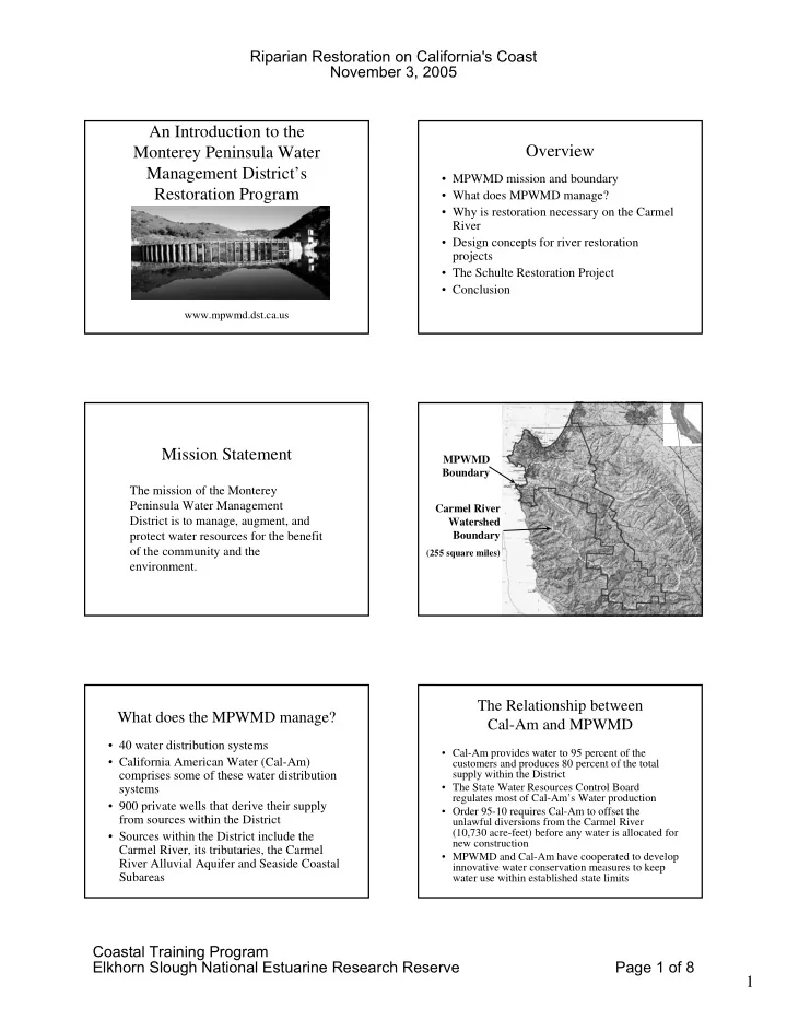
An Introduction to the Monterey Peninsula Water Management District’s Restoration Program

www.mpwmd.dst.ca.us

Overview

  • MPWMD mission and boundary
  • What does MPWMD manage?
  • Why is restoration necessary on the Carmel

River

  • Design concepts for river restoration

projects

  • The Schulte Restoration Project
  • Conclusion

Mission Statement

The mission of the Monterey Peninsula Water Management District is to manage, augment, and protect water resources for the benefit

  • f the community and the

environment.

MPWMD Boundary Carmel River Watershed Boundary

(255 square miles)

What does the MPWMD manage?

  • 40 water distribution systems
  • California American Water (Cal-Am)

comprises some of these water distribution systems

  • 900 private wells that derive their supply

from sources within the District

  • Sources within the District include the

Carmel River, its tributaries, the Carmel River Alluvial Aquifer and Seaside Coastal Subareas

The Relationship between Cal-Am and MPWMD

  • Cal-Am provides water to 95 percent of the

customers and produces 80 percent of the total supply within the District

  • The State Water Resources Control Board

regulates most of Cal-Am’s Water production

  • Order 95-10 requires Cal-Am to offset the

unlawful diversions from the Carmel River (10,730 acre-feet) before any water is allocated for new construction

  • MPWMD and Cal-Am have cooperated to develop

innovative water conservation measures to keep water use within established state limits

Riparian Restoration on California's Coast November 3, 2005 Coastal Training Program Elkhorn Slough National Estuarine Research Reserve Page 1 of 8

slide-2
SLIDE 2

2

MPWMD’s Environmental Protection Program

  • Annual steelhead rescues from approximately

eight miles of the drying river

  • Sleepy Hollow steelhead rearing facility
  • Spawning gravel injection
  • Carmel River restoration
  • Carmel River channel maintenance
  • Monitoring surface water flow and quality
  • Monitoring groundwater storage and quality

Why is Restoration Necessary on the Carmel River? A Riparian-Wetland Area is Candidate for Restoration

  • when it can’t

– dissipate stream energy during high flows – filter sediment and capture bedload – improve flood-water retention – develop root masses that stabilize streambanks – develop diverse ponding and channel characteristics – support greater biodiversity

Impacts to Bank Stability

San Clemente Reservoir 2001

Evolution of an Incised Channel

(Schumm, et al., 1984)

Impacts to Riparian Species

  • Dam Building
  • Diversions
  • Channel Incision
  • Groundwater Removal
  • Vegetation Clearing
  • Livestock Grazing
  • Urban Encroachment

Riparian Restoration on California's Coast November 3, 2005 Coastal Training Program Elkhorn Slough National Estuarine Research Reserve Page 2 of 8

slide-3
SLIDE 3

3

Looking Upstream Above Robinson Canyon Bridge (1980)

Groundwater Pumping

depressed water table

Upstream of Schulte Bridge

January 10, 1982

Design Concepts for River Restoration Projects

  • Historical aerial photos showing channel alignment
  • Fluvial Geomorphology and the role it plays in

channel design

– Functioning floodplains (bankfull discharge) – Sediment transport (width to depth ratio) – Sinuosity

  • Flood frequency and return intervals
  • Habitat components (revegetation and large wood)

Bankfull Elevation (2- to 3-year return interval)

FLOODPLAIN (2- TO-3 YEAR

Top of point bar

Red Rock Project 2002

Riparian Restoration on California's Coast November 3, 2005 Coastal Training Program Elkhorn Slough National Estuarine Research Reserve Page 3 of 8

slide-4
SLIDE 4

4

Width-to-Depth

Sinuosity = River Length / Valley Length

Measuring Sinuosity

VALLEY LENGTH

Approximate location

  • f present day (2003)

Carmel Valley Road Carmel Valley Road - 1939 (Rancho Fiesta - 2003)

GARLAND RANCH

"OXBOW" area

History of Schulte Restoration Project

  • 1959 Large-scale municipal pumping of groundwater
  • 1976/77 Severe drought leads to die-off of streamside

vegetation

  • 1978-1986 Moderate river flows erode approximately

100 acres of land in eight year period

  • 1983 Carmel River Management Plan adopted
  • 1987 Schulte demonstration restoration project
  • Schulte project functions during high river flows in

January 1995 (9,800 cfs), March 1995 (16,000 cfs), and February 1998 (12,000 cfs)

1976-77 DROUGHT

Riparian Restoration on California's Coast November 3, 2005 Coastal Training Program Elkhorn Slough National Estuarine Research Reserve Page 4 of 8

slide-5
SLIDE 5

5

LOOKING DOWNSTREAM FROM SCHULTE BRIDGE

1976 1983

1978-1983 EPISODIC EROSION

AUGUST 1977 JUNE 1980

Schulte Project Area 1983

Schulte Restoration Project Benchmarks

  • Project location River Mile 6.7 to 7.5
  • Approximate length 4000 lineal feet
  • Post and wire construction
  • Concrete rubble covered by native material by

Schulte Bridge

  • Excavation of fish pools and low flow channel
  • Extensive revegetation and irrigation
  • Total cost in today’s dollars would be

approximately from $400,000 to $600,000

Permits Required for River Work

  • Grading permit Monterey County Planning and Building

Inspection Department

  • Authorization from Monterey County Water Resources

Agency

  • Regional Water Quality Control Board
  • California Department of Fish and Game stream alteration

agreement

  • U.S. Army Corps of Engineers

– NOAA Fisheries – U.S. Fish and Wildlife Service (USFWS)

Schulte Restoration Project 1987

1987 thalweg Existing Riparian Vegetation (3.30) acres

Riparian Restoration on California's Coast November 3, 2005 Coastal Training Program Elkhorn Slough National Estuarine Research Reserve Page 5 of 8

slide-6
SLIDE 6

6

Schulte Project Area 1988

Schulte Restoration Project

1982 2005

Schulte Pilot Project

1988

  • ver 6000 willow

plantings post and wire

STRUCTURAL PROTECTION AT SCHULTE BRIDGE

2005 1987

STRUCTURAL PROTECTION AT SCHULTE BRIDGE (1987)

Private property owner work 1982 after restoration in 2005

Schulte Restoration Project 2001

1987 thalweg 2001 thalweg Restored Riparian Vegetation (7.65) acres A 232% Increase in Cover

Riparian Restoration on California's Coast November 3, 2005 Coastal Training Program Elkhorn Slough National Estuarine Research Reserve Page 6 of 8

slide-7
SLIDE 7

7

Schulte Project Area 1988 Schulte Project Area 2001 MARCH 1995 @ 16,000 CFS Long-term Monitoring

  • Profile and cross-section work documenting

changes in topography

  • Stream flow and depth to groundwater

monitoring

  • Vegetation moisture stress monitoring
  • Avian species diversity index monitoring
  • Vegetation transects monitoring understory

recruitment and project diversity

CARMEL RIVER SCHULTE MONITORING SITE THALWEG PROFILE FROM SCHULTE ROAD BRIDGE 80 82 84 86 88 90 92 94 96 500 1000 1500 2000 2500 3000 3500 4000 4500 DISTANCE UPSTREAM FROM SCHULTE ROAD BRIDGE (feet) ELEVATION (feet, NAVD 1988) 1999 GMA SURVEY 1988 MPWMD SURVEY 1996 MPWMD SURVEY Schulte Road Bridge Station 0+00

CARMEL RIVER SCHULTE MONITORING SITE CROSS SECTION 31 80 85 90 95 100 20 40 60 80 100 120 140 160 180 200 220 240 260 DISTANCE ALONG TRANSECT FROM LB PIN (feet) ELEVATION (feet, NAVD 1988) GMA 1999 SURVEY MPWMD 1996 SURVEY MPWMD 1988 SURVEY

Riparian Restoration on California's Coast November 3, 2005 Coastal Training Program Elkhorn Slough National Estuarine Research Reserve Page 7 of 8

slide-8
SLIDE 8

8

Rancho Canada Pumping vs Rubin Ground Water Level

50000 100000 150000 200000 250000 300000 350000 400000 450000 500000 05/01/01 05/17/01 06/02/01 06/18/01 07/04/01 07/20/01 08/05/01 08/21/01 09/06/01 09/22/01

date cubic feet /day

5 10 15 20 25

feet to water table

Rancho Canada pumping/day Rubin Well depth to Ground Water

Schulte Restoration Project Species Diversity Index

Shannon, C. E. and W. Weaver, 1949. 1.5 2 2.5 3 3.5 4 1992 1994 1995 1996 1997 1998 1999 2000 2001 2002 2003 2004 Year SDI

Conclusions

  • Long-term monitoring is key to successful

maintenance and verification of channel design and habitat quality.

  • Using GIS allowed quantification of restored

riparian habitat cover (232 percent increase).

  • An increasing SDI trend shows that this project

functions as important nesting and feeding grounds for many important avian species.

  • A sound commitment to restoration can help shape

public attitude toward river work on private property.

Riparian Restoration on California's Coast November 3, 2005 Coastal Training Program Elkhorn Slough National Estuarine Research Reserve Page 8 of 8