
SLIDE 1
Aerial survey of NZ sea lions Auckland Islands DOCDM-872849 Barry - - PowerPoint PPT Presentation
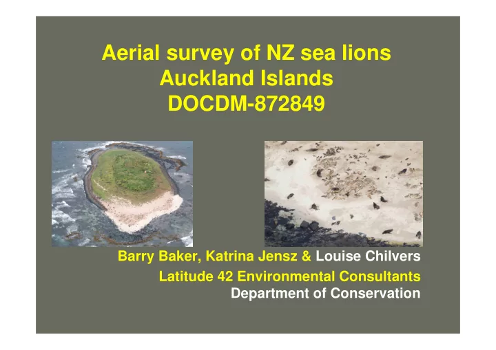
Aerial survey of NZ sea lions Auckland Islands DOCDM-872849 Barry Baker, Katrina Jensz & Louise Chilvers Latitude 42 Environmental Consultants Department of Conservation background only endemic NZ pinniped & worlds rarest
2
3
4
5
6
7
8
9
10
11
12
13
14
15
16
17
18
19
20