
SLIDE 1
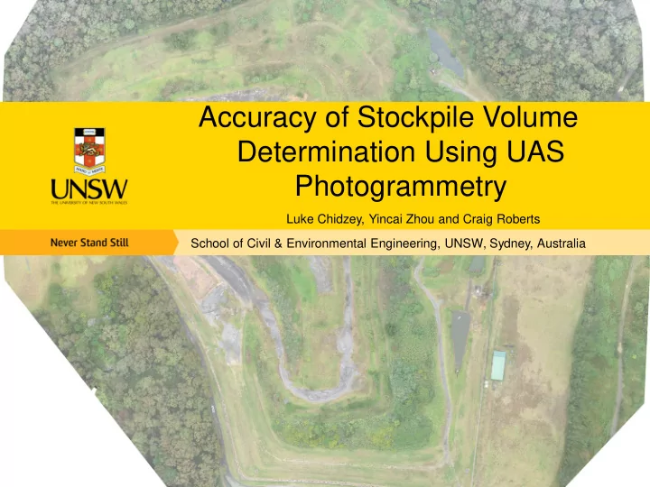
Accuracy of Stockpile Volume Determination Using UAS Photogrammetry
Luke Chidzey, Yincai Zhou and Craig Roberts School of Civil & Environmental Engineering, UNSW, Sydney, Australia
Accuracy of Stockpile Volume Determination Using UAS Photogrammetry - - PowerPoint PPT Presentation
Accuracy of Stockpile Volume Determination Using UAS Photogrammetry Luke Chidzey, Yincai Zhou and Craig Roberts School of Civil & Environmental Engineering, UNSW, Sydney, Australia Why measure stockpile volumes? Civil and mining
Luke Chidzey, Yincai Zhou and Craig Roberts School of Civil & Environmental Engineering, UNSW, Sydney, Australia
IGNSS 2016, 6 – 8 December, Sydney
IGNSS 2016, 6 – 8 December, Sydney
Photogrammetry
IGNSS 2016, 6 – 8 December, Sydney
Total Station & RTK GNSS Advantages:
Disadvantages:
unstable surface etc.
IGNSS 2016, 6 – 8 December, Sydney
Laser Scanning, LiDAR & UAS Photogrammetry Advantages:
Disadvantages:
vertical surfaces
IGNSS 2016, 6 – 8 December, Sydney
understood
calculations the way the surveyor assumes it does?
IGNSS 2016, 6 – 8 December, Sydney
stockpiles on the west of the site
significant amounts of vegetation
IGNSS 2016, 6 – 8 December, Sydney
UAS RTK
IGNSS 2016, 6 – 8 December, Sydney
comparison. Leica MS50 (multistation)
IGNSS 2016, 6 – 8 December, Sydney
stockpile.
IGNSS 2016, 6 – 8 December, Sydney
Laser scan UAS
IGNSS 2016, 6 – 8 December, Sydney
IGNSS 2016, 6 – 8 December, Sydney
4 scenarios.
Flight # Height ATO (m) Overlap (%) Camera Angle (°) Flight Path
IGNSS 2016, 6 – 8 December, Sydney
camera orientation.
nadir camera orientation.
IGNSS 2016, 6 – 8 December, Sydney
being 2.4% difference.
nadir imaging.
IGNSS 2016, 6 – 8 December, Sydney
compared to 1.
close to that determined by the laser scan.
all the previous scenarios.
IGNSS 2016, 6 – 8 December, Sydney
taken into account.
determined without the use of interpolation or some other estimation.
IGNSS 2016, 6 – 8 December, Sydney
Surveying Equipment Hire, 2016. Leica GS15. [Online] Available at : http://www.surveying-equipment- hire.co.uk/uploads/3/0/0/8/3008860/_8375776_orig.jpg [Accessed 31 5 2016]. Axiom 3D, 2016. Leica C5. [Online] Available at : http://axiom-3d.com/images/good-scanner.png [Accessed 31 5 2016]. LiDAR America, 2016. Topographical and Bathymetric Lidar Surveys. [Online] Available at : http://lidar- america.com/wp-content/uploads/2014/03/LiDAR-Escaneo-Ejemplo.jpg [Accessed 31 5 2016]. 3DR, 2014. 3DR X8 Manual. [Online] Available at: https://3dr.com/wp-content/uploads/2016/02/X8- Operation-Manual-vC.pdf [Accessed 30 5 2016].
Journal, 11(1), pp. 15-32.
senseFly, 2015. eBee RTK: senseFly SA. [Online] Available at: https://www.sensefly.com/drones/ebee- rtk.html [Accessed 30 5 2016].