
SLIDE 1
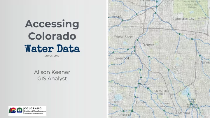
Accessing Colorado Water Data
July 25, 2019
Alison Keener GIS Analyst
1
Accessing Colorado Water Data July 25, 2019 Alison Keener GIS - - PowerPoint PPT Presentation
Accessing Colorado Water Data July 25, 2019 Alison Keener GIS Analyst 1 Presentation Overview I. Water Supply and Demand in Colorado II. Municipal Water Use Background III. Office of the State Engineer (DWR) IV. HydroBase - DWRs
July 25, 2019
1
I. Water Supply and Demand in Colorado II. Municipal Water Use Background III. Office of the State Engineer (DWR) IV. HydroBase - DWR’s Water Database V. Map Viewer Datasets and Tools VI. CDSS Tools/REST site VII. Colorado Information Marketplace VIII. CDSS Data Download Page IX. Improving Datasets/NHD Stewards
2
❖ 17 inches annual precip statewide ❖ 70% of surface water in CO is on the west slope ❖ 89% population on east slope, consumes 70% of the state’s water1 ❖ Shortfall of 500,000 acre-feet by 2050
1 Colorado Water Conservation Board, “Colorado’s Water Plan”.
3
30% indoor residential
23% indoor non-residential
25% outdoor residential
14% outdoor park & commercial
8% water lost
➢ 89% agriculture ➢ 7% municipal ➢ 4% large industry
2 Colorado Water Conservation Board, Statewide Water Supply Initiative 2010
Statewide Municipal-Use Patterns 2
4
➢ Administer water rights ➢ Ensure that dams and water wells are properly constructed and safe ➢ Provide information about water resources to the public
➢ Improve access to more detailed information by developing online tools and displaying data in near real-time
5
Map Viewer Water rights, administrative calls Stream gauges, streamflow Diversion records, well permits CDSS CIM
6
http://water.state.co.us/DataMaps/GISandMaps/MapViewer/
7
http://water.state.co.us/DataMaps/GISandMaps/MapViewer/
Search, buffer, query, measure, draw, share map, and more!
8
https://dwr.state.co.us/Tools/
❖ New and improved dashboard! ❖ CDSS datasets (above the line) and tools (below) ❖ Click on any of the datasets to access that unique Search page. ❖ User Help, Data Dictionaries, and other links are provided for each dataset
9
https://data.colorado.gov/
❖ Open Data portal hosted by State of Colorado OIT ❖ DWR data from HydroBase gets updated nightly ❖ Just points, no lines or polygons!
10
Configure visualizations like this pie chart comparing constructed wells in 5 Front Range Counties
11
https://www.colorado.gov/pacific/cdss/gis-data
❖ Download zipped files of DWR data ❖ Search by category or by basin ❖ Shapefiles and file geodatabases ❖ Not updated as regularly as Map Viewer, CDSS Dashboard, and CIM
12
13
❖ NHD Stewards ❖ Create an accurate statewide coverage
➢ Share your data! ➢ alison.keener@state.co.us ❖ Improve locations of administrative structures
14