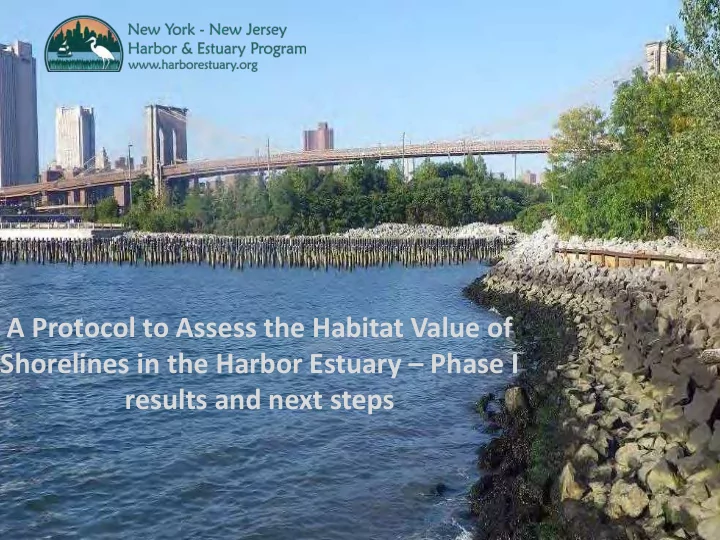

A Protocol to Assess the Habitat Value of Shorelines in the Harbor Estuary – Phase I results and next steps
Objective: a repeatable means of comparison between shoreline stabilization methods in an urban estuary Repeatable and safe Relatively easy and inexpensive Standard comparison across a range of urban conditions
Urban s shorel eline a assess sessme ment: t: basic design Water quality Encrusting algae Sessile invertebrates Mobile invertebrates Bivalves Fish Photoquadrats Abiotic conditions
Shorelines surveyed West Harlem Piers (3) 1 3 2 5 4 6 Harlem River Park (1) Randalls Island (2)
Urban shoreline assessment: challenges Riprap with crevices Seawall without crevices
Urban shoreline assessment: invertebrate colonization device Standard surface area and submergence duration Steel crab trap Enclosed netting and brick - microhabitats Settlement plates for sessile invertebrates PVC piping to stabilize device
Deployment Water level at low spring tide
Preliminary data: mobile invertebrates Boulder riprap Concrete seawall 1 3 (control) 2 Gabion basket 5 4 Stone Wall Stress = 0.09, based on Bray-Curtis dissimilarity matrix of untransformed mobile invertebrate community data
Next steps… 9
Public Access Assessment 2015 10
Public Access Assessment: objectives 11 Understand current access and stewardship capacity; target resources toward need. Document progress toward goals. Provide public information about access and stewardship.
Where is public access and what does it look like? 6.8 million people live within .5 miles of the coastline 41,070 acres of public access 63% accessible 37% inaccessible (2% homeland security zones)
Where is access most needed? 12 high need reaches 55% persons of color 35% youth (under 14) 3% population growth $67,766 median household income
Reach analysis Reach Population Communities of Median household Youth population Growth (%) color (%) income (%) Harbor-wide Bronx North Manhattan/Harlem River Flushing Bay and Creek Coming soon! Rockaway East Upper Passaic Lower Passaic/Newark Bay/Bayonne Lower Hackensack Elizabeth River/Arthur Kill (NJ) Kill Van Kull/Staten Island North Shore Raritan River Mouth/Upper Raritan Bay Mid-Raritan Bound Brook
Reach analysis Reach Linear accessibility (% of total) Density of people to accessible Acres of public access waterfront acres Harbor-wide Bronx North Manhattan/Harlem River Flushing Bay and Creek Rockaway East Coming soon! Upper Passaic Lower Passaic/Newark Bay/Bayonne Lower Hackensack Elizabeth River/Arthur Kill (NJ) Kill Van Kull/Staten Island North Shore Raritan River Mouth/Upper Raritan Bay Mid-Raritan Bound Brook
ACTION AGENDA / CCMP REVISION PROPOSED SCOPE AND TIMELINE
Obj Objectives s 17 • Conduct a series of public listening sessions to ensure stakeholder input for the 2016-2020 Action Agenda as well as the scope of the CCMP revision. • Prepare a broad, risk-based climate change vulnerability assessment of HEP’s current and potential future goals. • Identify various financial options for the implementation of the Action Agenda priorities. • Produce the 2016-2020 Action Agenda identifying HEP priorities for the next five years, including the scope and purpose of the CCMP revision and next State of Estuary report.
Key Role Ke les a and d Responsibiliti ties 18 Policy & Management Committees Work Groups • Guide Effort • Convene five by-invitation forums • Approve Scope of Work, Draft and • Water quality, restoration, public Final Documents access, sediment, education • MC Members Lead Work Groups • Builds on existing groups/projects Citizens Advisory Committee Science & Technical Advisory Committee • Members Convene 15 -20 Place Based Listening Sessions • Network is part of work groups • Broad agenda around clean water • Special meetings to refine scope benefits / vulnerability to climate of State of the Estuary and CCMP change • Effort ties to HRF 2017 Call for • Meetings are oriented toward Proposals watersheds or reaches • Builds on existing meetings
Outpu tputs 19 Action Agenda Outline CCMP Revision Outline (per EPA) • Mission Statement/Intro • Changes between • Overall Climate Vulnerability existing and draft CCMP • Overall CCMP Scope • State of the Estuary • Goals/Priority Actions • HEP’s program structure Water Quality • CCMP Actions: Habitat Restoration Stated goals/problems, Public Access Probable causes and sources Sediment/Port Measurable objectives Public Education Monitoring approach • Finance strategy • Finance strategy • Public Review Process
Time imeli line
Ques estions f for the the RW RWG 21 Focus What Are Key Questions Relative to Current or Prospective HEP Goals/ What Will be The Drivers For This Process? What Are Key Questions/Drivers Related to Climate Vulnerability? What Are Key Questions/Drivers Related to Financing? Process Connection to CRP Adoption Integration with Restoration Conference/RWG Agenda
Recommend
More recommend