
SLIDE 1
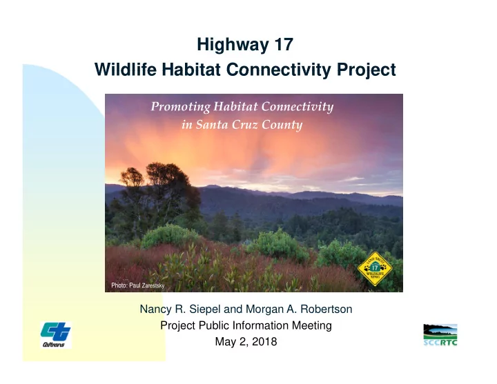
Highway 17 Wildlife Habitat Connectivity Project Wildlife Habitat Connectivity Project
Promoting Habitat Connectivity in Santa Cruz County
Nancy R. Siepel and Morgan A. Robertson
Photo: Paul Zarestsky
Highway 17 Wildlife Habitat Connectivity Project Wildlife Habitat - - PowerPoint PPT Presentation
Highway 17 Wildlife Habitat Connectivity Project Wildlife Habitat Connectivity Project Promoting Habitat Connectivity in Santa Cruz County Photo: Paul Zarestsky Nancy R. Siepel and Morgan A. Robertson Nancy R. Siepel and Morgan A. Robertson
Photo: Paul Zarestsky
Photo: