
SLIDE 1
5 April 2011 5 April 2011 Maclean Council Chambers Maclean Council - - PowerPoint PPT Presentation
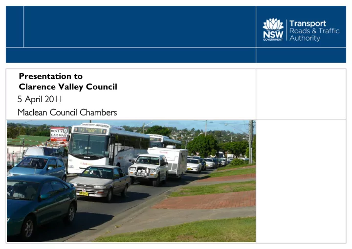
Presentation to Clarence Valley Council 5 April 2011 5 April 2011 Maclean Council Chambers Maclean Council Chambers Agenda Opening comments and project update Bob Higgins Project overview Chris Clark December 2010 community update
BH
Questions – Bob Higgins and Chris Clark What happens next? – Chris Clark Heavy vehicle study - Chris Clark Technical investigations - Chris Clark Shortlisting of community suggestions and project process - Chris Clark December 2010 community update and postal survey – Chris Clark Project overview – Chris Clark Opening comments and project update – Bob Higgins
BH
CC
feasible.
they:
improving safety at the existing bridge.
CC
CC
CC
CC
CC
CC
CC
CC
December 2010 Community Update Options J, K and L Community suggestions 11, 12 and 13
CC
CC
CC
CC
CC
RH
CC Source: Austroads Vehicle Classification
CC
CC
CC
CC
CC
CC
CC
CC
CC
CC
CC
Tube Count Data Summary for the Grafton Bridge (Site K) All Vehicle Types
25508 26940 27070 28938 29434 986 1075 1101 1082 1116 258 267 296 325 295 35 51 45 54 56 5000 10000 15000 20000 25000 30000 35000 Monday Tuesday Wednesday Thursday Friday Weekday Number of Vehicles All Vehicles Rigid Semi B‐Double Weekday Average
Weekday Average 27,580 veh/day Thursday – about 5% more than weekday average
CC
CC
CC
CC
BH / CC