
11/23/2011 1
LAND USE PLANNING & CLIMATE CHANGE – GOALS AND ASPIRATION
NATIONAL SYMPOSIUM ON CLIMATE CHANGE ADAPTATION 17 November 2011
GOALS AND ASPIRATION
by
- DR. DAHLIA ROSLY
Director Research & Development Division Federal Department Town & Country Planning Peninsular Malaysia MINISTRY OF HOUSING AND LOCAL GOVERMENT
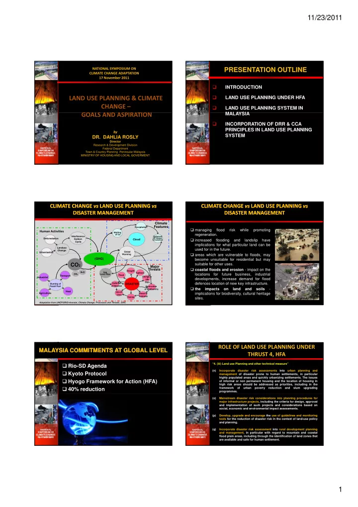
PRESENTATION OUTLINE
INTRODUCTION LAND USE PLANNING UNDER HFA LAND USE PLANNING SYSTEM IN MALAYSIA MALAYSIA INCORPORATION OF DRR & CCA PRINCIPLES IN LAND USE PLANNING SYSTEM
Human Activities Climate Features
Deforestation Melting
- f Ice
Cloud
Global Upheavel Of Ocean Circulation Precipitation Interference Carbon Cycle Landuse Change Urbanisation
CLIMATE CHANGE CLIMATE CHANGE vs vs LAND USE PLANNING LAND USE PLANNING vs vs DISASTER MANAGEMENT DISASTER MANAGEMENT
(GHG)
Industrial Drought Famine Flood
Major Threats
CH4 N2O Sea Level Rise Adaptation from UNEP/GRID-Arendal, Climate Change: Processes and Threats, 2005.
DISASTER
Warming Burning of Fossil Fuel Transport Agriculture Heat Destruction
- f Biodiversity
Change in Life Style Threat to Economy Typhoon Outbreak
- f Desease
Loss of Lives
CO2
CLIMATE CHANGE CLIMATE CHANGE vs vs LAND USE PLANNING LAND USE PLANNING vs vs DISASTER MANAGEMENT DISASTER MANAGEMENT
managing flood risk while promoting regeneration. increased flooding and landslip have implications for what particular land can be used for in the future. areas which are vulnerable to floods, may become unsuitable for residential but may suitable for other uses. coastal floods and erosion - impact on the locations for future business, industrial developments, increase demand for flood defences location of new key infrastructure. the impacts
- n
land and soils
- implications for biodiversity, cultural heritage
sites.
Rio-SD Agenda Kyoto Protocol Hyogo Framework for Action (HFA) 40% reduction
MALAYSIA COMMITMENTS AT GLOBAL LEVEL MALAYSIA COMMITMENTS AT GLOBAL LEVEL
“4. (iii) Land use Planning and other technical measure” (n) Incorporate disaster risk assessments into urban planning and management of disaster prone to human settlements, in particular highly populated areas and quickly urbanizing settlements. The issues
- f informal or non permanent housing and the location of housing in
high risk areas should be addressed as priorities, including in the framework
- f
urban poverty reduction and slum upgrading programmes.
ROLE OF LAND USE PLANNING UNDER THRUST 4, HFA
(o) Mainstream disaster risk considerations into planning procedures for major infrastructure projects, including the criteria for design, approval and implementation of such projects and considerations based on social, economic and environmental impact assessments. (p) Develop, upgrade and encourage the use of guidelines and monitoring tools for the reduction of disaster risk in the context of land-use policy and planning. (q) Incorporate disaster risk assessment into rural development planning and management, in particular with regard to mountain and coastal flood plain areas, including through the identification of land zones that are available and safe for human settlement.