
SLIDE 1
I N T R O T O G I S 5 9 1 - 5 . 2 . 1 2 D A N I E L T U R N E R
WESTFIELD TOWN, NJ I N T R O T O G I S 5 9 1 - 5 . 2 . 1 2 D A - - PowerPoint PPT Presentation
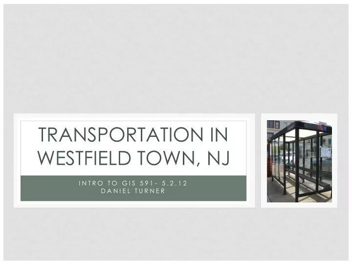
TRANSPORTATION IN WESTFIELD TOWN, NJ I N T R O T O G I S 5 9 1 - 5 . 2 . 1 2 D A N I E L T U R N E R OVERVIEW Background: History Location Demographics Land Use: 2002 2007 Changes
I N T R O T O G I S 5 9 1 - 5 . 2 . 1 2 D A N I E L T U R N E R
Westfield Train Station
□ Background: □ History □ Location □ Demographics □ Land Use: □ 2002 □ 2007 □ Changes □ Contaminated Sites □ Downtown and Transit: □ Land Use □ Amenities □ Accessibility
□ Downtown settled in 1664 as part of Elizabethtown Tract. □ Westfield Township formed in 1794 □ Railroad station built in 1838 □ The Town of Westfield was incorporated in 1903 □ Town served by NJ Transit Raritan Valley rail line.
Westfield Train Station
Source: Westfieldnj.com
61% 22% 5% 9% 3%
Union County Other Counties
10 20 30 40 5 Miles
Source: 2010 U.S. Census
1 2 3 4 0.5 Miles
88%
3% 6% 1% 2% Source: 2010 U.S. Census
Elm Street at Broad Street
Union County Population: 2010 Census 536,499 Westfield Town Population: 2010 Census 30,316
Source: U.S. Census Bureau
Source: U.S. Census Bureau
Union County
Highest Degree Percentage
Less than HS 15.7% High School/ Some College 47.5% Associates 5.6% Bachelor’s 19.3% Graduate+ 11.9%
Education Attainment
Source: U.S. Census Bureau, ACS 5 Year Estimate (2006-2010)
Westfield Town
Highest Degree Percentage
Less than HS 4.2% High School/ Some College 25.3% Associates 10.9% Bachelor’s 36.0% Graduate+ 30.3%
Union County
Income Percentage Less than $10,000 to $24,999 17.1% $25, 000 to $49,000 20.8% $50,000 to $74,999 30.0% $75,000 to $99,999 12.7% $100,000+ 32.0%
Median Household Income
Source: U.S. Census Bureau, ACS 5 Year Estimate (2006-2010)
Westfield Town
Income Percentage Less than $10,000 to $24,999 6.5% $25, 000 to $49,000 10.3% $50,000 to $74,999 10.2% $75,000 to $99,999 11.6% $100,000+ 61.3%
Westfield Town
Transit Mode Percentage
Auto 76.20% Public Transit 14.60% Walked 2.40% Other Means 0.90% Worked At Home 5.90%
Union County
Transit Mode Percentage
Auto 77.0% Public Transit 9.9% Walked 3.5% Other Means 6.7% Worked At Home 2.8% Commuter Transportation Mode Split
Google ArcGIS
Restaurants A
Ferraro’s
B
Theresa’s
C
Mojave Grille
D
Casa Di Pizza
E
Limani Seafood Grill
F
Chez Catherine
G
Wild Noodles
H
Cosimo’s Pizza
I
Jeffrey’s of Westfield
J
Tinga Taqueria
Other K
Trader Joes
L
Starbucks
M
First United Methodist Church
N
Citi Bank
O
Capital One Bank
P
Westfield Running Company
Q
Gap
R
Guillotine
S
Victoria’s Secret
T
Coldwater Creek
! 5 ! 5 ! 5 ! 5 ! 5 ! 5 ! 5 ! 5 ! 5 ! 5 ! 5 ! 5 ! 5 ! 5 ! 5 ! 5 ! 5 ! 5 ! 5 ! 5 ! 5 ! 5 ! 5 ! 5 ! 5 ! 5 ! 5 ! 5 ! 5 ! 5 ! 5 ! 5 ! 5 ! 5 ! 5 ! 5 ! 5 ! 5 ! 5 ! 5 ! 5 ! 5 ! 5 ! 5 ! 5 ! 5 ! 5 ! 5 ! 5 ! 5
I 3
0.5 1 1.5 2 0.25 Miles
I 3
! 5
Land Use Within 5 Min Walk of Transit
! 5 ! 5 ! 5 ! 5 ! 5 ! 5 ! 5 ! 5 ! 5 ! 5 ! 5 ! 5 ! 5 ! 5 ! 5 ! 5 ! 5 ! 5 ! 5 ! 5 ! 5 ! 5 ! 5 ! 5 ! 5 ! 5 ! 5 ! 5 ! 5 ! 5 ! 5 ! 5 ! 5 ! 5 ! 5 ! 5 ! 5 ! 5 ! 5 ! 5 ! 5 ! 5 ! 5 ! 5 ! 5 ! 5 ! 5 ! 5 ! 5 ! 5
I 3
0.5 1 1.5 2 0.25 Miles
I 3
! 5
Population Within 5 Min Walk of Transit
Business Name Address Town State Zip Restaurants
Ferraro’s 14 Elm St Westfield NJ 07090 Theresa’s 47 Elm St Westfield NJ 07090 Mojave Grille 35 Elm St Westfield NJ 07090 Casa Di Pizza 50 Elm St Westfield NJ 07090 Limani Seafood Grill 235 North Ave W Westfield NJ 07090 Chez Catherine 431 North Ave W Westfield NJ 07090 Wild Noodles 102 E Broad St Westfield NJ 07090 Cosimo’s Pizza 118 E Broad St Westfield NJ 07090 Jeffrey’s of Westfield 114 Central Ave Westfield NJ 07090 Tinga Taqueria 110 Central Ave Westfield NJ 07090
Other
Trader Joes 155 Elm St Westfield NJ 07090 Starbucks 117 Central Ave Westfield NJ 07090 First United Methodist Church 1 E Broad St Westfield NJ 07090 Citi Bank 240 North Ave W Westfield NJ 07090 Capital One Bank 138 Central Ave Westfield NJ 07090 Westfield Running Company 123 Quimby St Westfield NJ 07090 Gap 207 E Broad St Westfield NJ 07090 Guillotine 224 E Broad St Westfield NJ 07090 Victoria’s Secret 223 E Broad St Westfield NJ 07090 Coldwater Creek 126 Central Ave Westfield NJ 07090
Source: Google (2012), Yellowpages (2012)