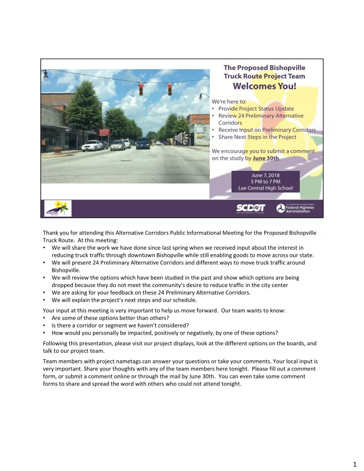

The Proposed Bishopville Truck Route Project Team
Welcomes You!
We’re here to:
- Provide Project Status Update
- Review 24 Preliminary Alternative
Corridors
- Receive Input on Preliminary Corridors
- Share Next Steps in the Project
We encourage you to submit a comment
- n the study by June 30th.
June 7, 2018 5 PM to 7 PM Lee Central High School June 7, 2018 5 PM to 7 PM Lee Central High School
Thank you for attending this Alternative Corridors Public Informational Meeting for the Proposed Bishopville Truck Route. At this meeting:
- We will share the work we have done since last spring when we received input about the interest in
reducing truck traffic through downtown Bishopville while still enabling goods to move across our state.
- We will present 24 Preliminary Alternative Corridors and different ways to move truck traffic around
Bishopville.
- We will review the options which have been studied in the past and show which options are being
dropped because they do not meet the community’s desire to reduce traffic in the city center
- We are asking for your feedback on these 24 Preliminary Alternative Corridors.
- We will explain the project’s next steps and our schedule.
Your input at this meeting is very important to help us move forward. Our team wants to know:
- Are some of these options better than others?
- Is there a corridor or segment we haven’t considered?
- How would you personally be impacted, positively or negatively, by one of these options?
Following this presentation, please visit our project displays, look at the different options on the boards, and talk to our project team. Team members with project nametags can answer your questions or take your comments. Your local input is very important. Share your thoughts with any of the team members here tonight. Please fill out a comment form, or submit a comment online or through the mail by June 30th. You can even take some comment forms to share and spread the word with others who could not attend tonight.