
SLIDE 1
Air Line Pilot s Associat ion, Int ’ l
Weather Information for Pilots Captain Steve Jangelis Aviation - - PowerPoint PPT Presentation
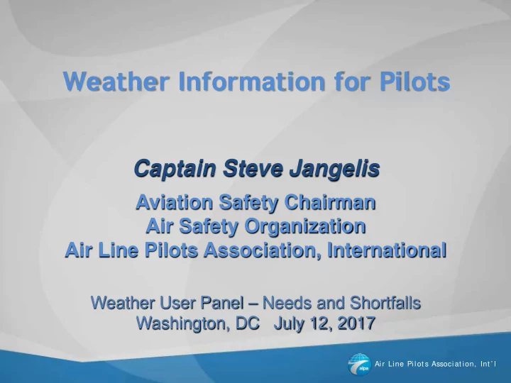
Weather Information for Pilots Captain Steve Jangelis Aviation Safety Chairman Air Safety Organization Air Line Pilots Association, International Weather User Panel Needs and Shortfalls Washington, DC July 12, 2017 Air Line Pilot s
Air Line Pilot s Associat ion, Int ’ l
Air Line Pilot s Associat ion, Int ’ l
Air Line Pilot s Associat ion, Int ’ l
Air Line Pilot s Associat ion, Int ’ l
Air Line Pilot s Associat ion, Int ’ l
Air Line Pilot s Associat ion, Int ’ l
Air Line Pilot s Associat ion, Int ’ l
Air Line Pilot s Associat ion, Int ’ l
Air Line Pilot s Associat ion, Int ’ l
Air Line Pilot s Associat ion, Int ’ l
Air Line Pilot s Associat ion, Int ’ l
Air Line Pilot s Associat ion, Int ’ l
Air Line Pilot s Associat ion, Int ’ l Boxes represent aircraft reports color coded for ride conditions
Air Line Pilot s Associat ion, Int ’ l
Touching “View Report” when a report box is opened displays the Turbulence Report history of the aircraft.
This is the actual turbulence level
Air Line Pilot s Associat ion, Int ’ l
Air Line Pilot s Associat ion, Int ’ l
16