
SLIDE 1
Water Source Overview Currabubula Alluvial Upper Namoi Zone 7 - - PowerPoint PPT Presentation
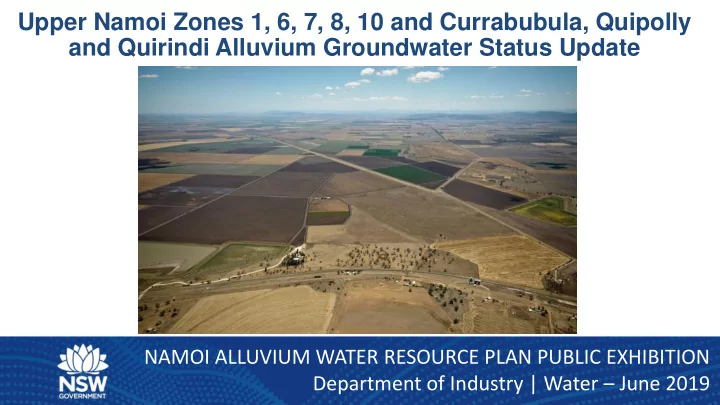
Upper Namoi Zones 1, 6, 7, 8, 10 and Currabubula, Quipolly and Quirindi Alluvium Groundwater Status Update NAMOI ALLUVIUM WATER RESOURCE PLAN PUBLIC EXHIBITION Department of Industry | Water June 2019 Water Source Overview Currabubula
Currabubula Alluvial Quipolly Alluvial Quirindi Alluvial Upper Namoi Zone 7 Upper Namoi Zone 6 Upper Namoi Zone 10 Upper Namoi Zone 1 Upper Namoi Zone 8
Upper Namoi Zone 1 Access License Category Number of Licenses Share Component Aquifer 35 384 Local Water Utility (LWU) 2 1,216 Extraction Limit: 2,100 ML/Year BLR (Stock and Domestic): 2,127 ML/Year
Upper Namoi Zone 6 Access License Category Number of Licenses Share Component Aquifer 32 10,948 Local Water Utility Extraction Limit: 14,000 ML/Year BLR (Stock and Domestic): 14,096 ML/Year
Upper Namoi Zone 7 Access License Category Number of Licenses
Share Component
Aquifer 17
3,697 Local Water Utility Extraction Limit: 3,700 ML/Year BLR (Stock and Domestic): 3,721 ML/Year
Upper Namoi Zone 8 Access License Category Number of Licenses Share Component Aquifer 63 16,122 Local Water Utility 1 50 Extraction Limit: 16,000 ML/Year BLR (Stock and Domestic): 16,114 ML/Year
Upper Namoi Zone 10 Access License Category Number of Licenses Share Component Aquifer 6 1,920 Local Water Utility Extraction Limit: 4,500 ML/Year Plus BLR: 4,518 ML/Year
Quipolly Alluvium Access License Category Number of Licenses Share Component Aquifer 7 737 Local Water Utility Extraction Limit: 475 ML/Year BLR (Stock and Domestic): 3.9 ML/Year Quirindi Alluvium Access License Category Number of Licenses Share Component Aquifer 19 2,796 Local Water Utility Extraction Limit: 1231 ML/Year BLR (Stock and Domestic): 14.1 ML/Year
Gunnedah Average Rainfall Residual Mass
Gunnedah Average Rainfall Residual Mass
Gunnedah Average Rainfall Residual Mass
Gunnedah Average Rainfall Residual Mass
Quirindi Average Rainfall Residual Mass
Long term water level change map: Pre –Development to 2015/2016 Water level change map: 2005/2006 to 2015/2016
GW273290 Currabubula GW273288 Quipolly GW273289 Quirindi GW273290 Currabubula GW273288 Quipolly GW273289 Quirindi