
SLIDE 1
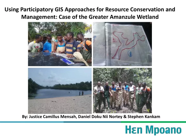
Using Participatory GIS Approaches for Resource Conservation and Management: Case of the Greater Amanzule Wetland
By: Justice Camillus Mensah, Daniel Doku Nii Nortey & Stephen Kankam
Using Participatory GIS Approaches for Resource Conservation and - - PowerPoint PPT Presentation
Using Participatory GIS Approaches for Resource Conservation and Management: Case of the Greater Amanzule Wetland By: Justice Camillus Mensah, Daniel Doku Nii Nortey & Stephen Kankam Outline Introduction Goal/Objectives HM
By: Justice Camillus Mensah, Daniel Doku Nii Nortey & Stephen Kankam
20 40 60 80 100 120 140
Area (Hectares) Communities
MANGROVES DEGRADED MANGROVES