Upper Thames River Conservation Authority Embro Zorra Community - - PowerPoint PPT Presentation

upper thames river conservation authority embro zorra
SMART_READER_LITE
LIVE PREVIEW

Upper Thames River Conservation Authority Embro Zorra Community - - PowerPoint PPT Presentation

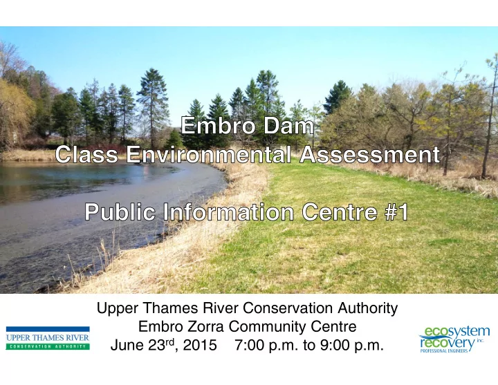
Upper Thames River Conservation Authority Embro Zorra Community Centre June 23 rd , 2015 7:00 p.m. to 9:00 p.m. Embro Dam Study Area Embro Dam was acquired by UTRCA in 1958 and reconstructed in 1959, located on Spring Creek (a tributary of


slide-1
SLIDE 1

Upper Thames River Conservation Authority Embro Zorra Community Centre June 23rd, 2015 7:00 p.m. to 9:00 p.m.

slide-2
SLIDE 2

Upper Thames River Conservation Authority Public Information Centre

Embro Dam Study Area

Embro Dam was acquired by UTRCA in 1958 and reconstructed in 1959, located on Spring Creek (a tributary of the North Branch Creek). The dam controls a drainage area of 7 square kilometres of mostly agricultural lands, forming a small reservoir of approximately 0.8 ha with an estimated volume of 3,000 cubic metres. The dam structure consists of a 100 metre long earthen embankment (4.5 metres

  • approx. height) with a concrete bottom

draw inlet with an inverted V-shaped trash- rack anchored to the top of the outlet. An emergency spillway is located on the east embankment. The Embro Dam and Conservation Area is

  • wned by the UTRCA; however, the

Township of Zorra pays 100% of operating costs for the dam. The Conservation Area is maintained by the Embro Pond Association.

Embro Dam

slide-3
SLIDE 3

Problem Statement: Why is a Class EA Necessary?

Significant concerns related to the structural integrity and hydraulic capacity of the Embro Dam have been identified through recent engineering assessments.

  • Acres International. July, 2007. Dam Safety Assessment Report for Embro Dam: Upstream and

downstream embankment slopes do not meet stability acceptance criteria

  • Naylor Engineering Associates. September 2008. Geotechnical Investigation Embro Dam

Embankment Stability Assessment: The existing dam does not meet current standards and is not considered stable under existing conditions

A Class Environmental Assessment has been initiated to evaluate a range of alternatives to address the identified issues in consideration

  • f the environmental, social, economic, and technical aspects of the

dam.

Upper Thames River Conservation Authority Public Information Centre

slide-4
SLIDE 4

Class Environmental Assessment Process and Problem Statement

WE ARE HERE

Upper Thames River Conservation Authority Public Information Centre

Class EA Process for Conservation Ontario Class Environmental Assessment for Remedial Flood and Erosion Control Works

PIC 1

Develop and Evaluate Alternatives That Can Address the Problem Statement

PIC 2

Select Preferred Alternative and conduct Environmental Impact Initiate Class EA Publish Notice of Intent Establish Community Liaison Committee as Necessary

In a nutshell:

  • Publish Notice of Intent to advise all affected about

the study

  • Undertake a program to collect background

information and relevant data on the study area

  • Prepare a characterization of the study area as it

relates to the problem statement, this includes technical, social and cost factors

  • Develop alternatives that could address the issues
  • Evaluate alternatives against a criteria (technical,

social and cost)

  • Select the preferred alternative
  • Prepare concept level plans to depict the preferred

alternative

  • Prepare the EA report (project plan) and file for 30

days

slide-5
SLIDE 5

Public Participation as Part of the Class EA Process

The process requires that proponents make public contact at two occasions, typically the Notice of Intent and Notice of Filing. These Notices invite interested members of the public to review and comment on the study process and results. The UTRCA has elected to conduct three Public Information Centres (PICs) in addition to the two mandatory public contact notices, to deliver information to the community and to receive comments, feedback and input into the study. The PICs occur:

  • June 2015 – Introduction to the Study and Class EA Process
  • September 2015 (planned) – Presentation of Baseline Characterization and

Potential Alternatives

  • November 2015 (planned) – Presentation of Preferred Alternative

Upper Thames River Conservation Authority Public Information Centre

slide-6
SLIDE 6

Embro Dam and Area Description

The Embro Dam is approximately 100 m in length, 4.5 m in height and includes 1.1 m of freeboard. The entire dam is founded on overburden as opposed to bedrock or engineered soil. The dam contains water year round and includes approximately 3.4 m of head acting across the dam. Low earth fill embankment, a grassed, emergency spillway is located at the east end of the embankment. This spillway has a clear width of about 4.0 m and the inlet invert is 0.6 m below the crest of the dam. A 762 mm diameter (inner) concrete pipe conveys flow from the pond to a pool at the creek outlet. The Embro Dam is located within the Embro Conservation Area, with recent restoration and improvement works undertaken by the Embro Pond Association. The outlet of the dam includes a concrete bottom draw inlet structure covered with grated trashrack.

Upper Thames River Conservation Authority Public Information Centre

slide-7
SLIDE 7

Topographic Survey Aquatic Biology Geotechnical Engineering and Hydrogeology Civil Engineering (Dam Structure and Hazard Assessment) Water Quality Sediment Quality Terrestrial Biology Hydrology

Field Data Collection and Site Characterization

Upper Thames River Conservation Authority Public Information Centre

A range of technical, environmental, and social factors will be characterized at the study site to provide insight into the generation of potential alternatives for the dam, as well as the evaluation of those alternatives.

Sediment Survey Archaeology Cultural/Social Environment Fluvial Geomorphology

slide-8
SLIDE 8

Field Data Collection and Site Characterization – Sediment Survey

Upper Thames River Conservation Authority Public Information Centre

slide-9
SLIDE 9

Upper Thames River Conservation Authority Public Information Centre

For further information please contact:

  • Mr. Rick Goldt, C.E.T.

Supervisor, Water Control Structures Upper Thames River Conservation Authority 1424 Clarke Road London, Ontario, N5V 5B9 Tel: 519-451-2800 ext. 244 Fax: 519-451-1188 goldtr@thamesriver.on.ca

  • Mr. Wolfgang Wolter

Senior Project Manager Ecosystem Recovery Inc. 550 Parkside Drive, Unit B1 Waterloo, Ontario, N2L 5V4 Tel: 519-621-1500 Fax: 226-240-1080 wolfgang.wolter@ecosystemrecovery.ca

To provide feedback and comments to the project team, please send all correspondence to the project email address:

embro_dam@thamesriver.on.ca