
SLIDE 1
Transportation Resilience
Jeffrey Meek | Sustainability Coordinator November 4th 2019
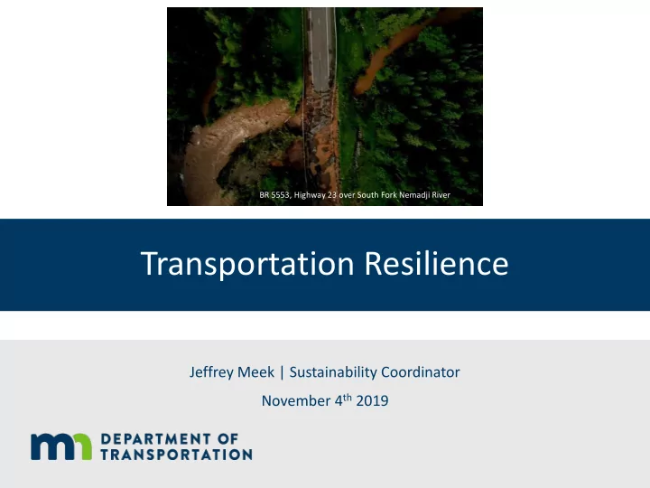
BR 5553, Highway 23 over South Fork Nemadji River
Transportation Resilience Jeffrey Meek | Sustainability Coordinator - - PowerPoint PPT Presentation
BR 5553, Highway 23 over South Fork Nemadji River Transportation Resilience Jeffrey Meek | Sustainability Coordinator November 4 th 2019 Overview Federal Climate Resilience Pilot Corridor Resilience Assessment Current MnDOT practices
Jeffrey Meek | Sustainability Coordinator November 4th 2019
BR 5553, Highway 23 over South Fork Nemadji River
committee
Management, Policy, and Administration, which documents resilience efforts and how they are organized, understood, and implemented within transportation agencies’ core functions and services.
White Papers; CEO Primer & Engagement
Highway/Transportation Infrastructure Investment, which developed an approach for incorporating resilience into transportation planning and assessment.
Development
Program Area Current Practices Planning
Design and Environmental Review
Construction
Maintenance & Operations
Emergency Response
Overarching Initiatives
Passage guidance
fish is good for the climate”
Overview of Traditional VS Geomorphic Design Approach
Flood VA will result in climate projections and a formula for analyzing asset vulnerability
into BRIM and TAMS
design guidance
reducing vulnerability
guidance on how to use climate vulnerability assessment findings to supplement betterment justifications (example)
BR 5553, Highway 23 over South Fork Nemadji River
Projects with Resilience Co-benefits
Research Projects
Jeffrey Meek
jeffrey.meek@state.mn.us
Climate Impacts Likelihood this will change in MN over the next 20 years Potential Negative Implications for the Transportation System Heavy Precipitation / Flooding
Very High
erosion, inundation, construction disruption, etc.)
permanent) Warmer Winters
Very High
conditions and life cycles length
New Species Ranges (mainly due to warmer winters)
High
Drought
Medium
High Heat
Medium-low
Wildfires
Low
Severe Wind
Low
critical first step
(Caltrans)
advances work more quickly and accelerates collaboration (ex: resilientma.org)
Adaptation Action Status Action Description Complete System-wide Climate Vulnerability Assessment In Progress Develop a set of climate projections and use assess infrastructure vulnerability using them. Incorporate findings into Asset Management Planned Integrate findings of the vulnerability assessments into asset management (BRIM and TAMS) Update Design Guidelines Planned Review design guidelines using climate projections and incorporate changes to maintain performance into the future Protect Environmental Justice and Vulnerable Populations In Progress Improve metrics for vulnerable population to incorporate it into decision-making Downscaled Climate Data Not started Allows for more detailed and region-specific climate
Actions with Adaptation Co-benefits In Progress Identify, support, and pilot projects with potential to increase resilience Resilience Research In Progress Continue to develop state specific research to address data and information gaps
adaptation benefits of reducing vulnerability
mitigation, and sequester carbon
vegetation to stabilize slopes
develop set of climate projections
identify where climate projections can be incorporated
inclusive, and incorporate into decision-making processes