
SLIDE 1
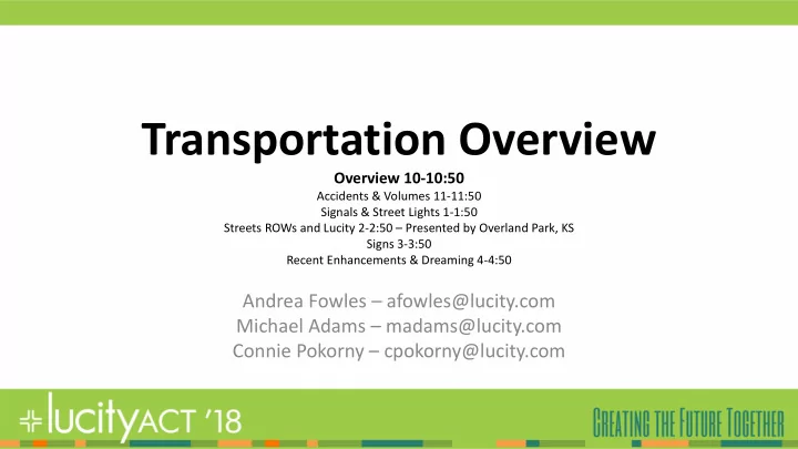
Transportation Overview
Overview 10-10:50
Accidents & Volumes 11-11:50 Signals & Street Lights 1-1:50 Streets ROWs and Lucity 2-2:50 – Presented by Overland Park, KS Signs 3-3:50 Recent Enhancements & Dreaming 4-4:50
Andrea Fowles – afowles@lucity.com Michael Adams – madams@lucity.com Connie Pokorny – cpokorny@lucity.com