
SLIDE 1
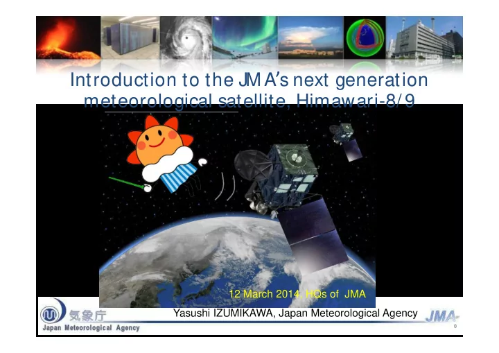
Introduction to the JMA’s next generation meteorological satellite, Himawari-8/ 9
M asanori OBAY ASHI
Satellite Program Division Observations Department J M A
Transition of Operational Satellites 2005 2006 2007 2008 2009 - - PowerPoint PPT Presentation
Introduction to the JMA s next generation meteorological satellite, Himawari-8/ 9 M asanori OBAY ASHI Satellite Program Division 12 March 2014, HQs of JMA Observations Department J M A Yasushi IZUMIKAWA, Japan Meteorological Agency 0
M asanori OBAY ASHI
Satellite Program Division Observations Department J M A
1
2005 2006 2007 2008 2009 2010 2011 2012 2013 2014 2015 2016 2017 2018 2019 2020 2021 2022 2023 2024 2025 2026 2027 2028 2029 MTS AT-1R
Meteorological Mission
MTS AT-2
Meteorological Mission
Himawari-8 Himawari-9
In-orbit standby Operational In-orbit standby Manufacturing Launch In-orbit standby In-orbit standby Launch Operational Operational Operational In-orbit standby
Channel Central Wavelength [μm] Spatial Resolution 1 0.43 – 0.48 1 km 2 0.50 – 0.52 1 km 3 0.63 – 0.66 0.5 km 4 0.85 – 0.87 1 km 5 1.60 – 1.62 2 km 6 2.25 – 2.27 2 km 7 3.74 – 3.96 2 km 8 6.06 – 6.43 2 km 9 6.89 – 7.01 2 km 10 7.26 – 7.43 2 km 11 8.44 – 8.76 2 km 12 9.54 – 9.72 2 km 13 10.3 – 10.6 2 km 14 11.1 – 11.3 2 km 15 12.2 – 12.5 2 km 16 13.2 – 13.4 2 km
RGB Composite True Color Image
Water Vapor Atmospheric Windows
Channels of the Advanced Himawari Imager (AHI)
Target area
Interval: 2.5 minutes (4 times in 10 minutes) Dimension: EW x NS: 1000 x 1000 km
Japan area
Interval: 2.5 minutes (4 times in 10 minutes) Dimension: EW x NS: 2000 x 1000 km x 2
MSC website top page http://mscweb.kishou.go.jp/
3
Himawari-8/ 9 raw data J M A
CS Operator Communication Satellite (CS) C-band (4 GHz) DVB-S2 HRIT files, … (TBD) Internet Service
New equipment needs to be installed.
All imagery
(full resolution data)
C-band antenna LNB DVB-S2 receiver PC & software
Users
Internet (a) (b)
4
2012 2013 2014 2015 2016
MTSAT-1R
M eteorological M ission
MTSAT-2
M eteorological M ission
Himawari-8 Himawari-9 via MTSAT (direct) via the Internet via a CS
(Himawari-8 imagery) (Himawari-8 imagery)
(MTSAT-2 imagery) (Himawari-8 imagery)
(MTSAT-2 imagery)
5
Format Observation Area Note Himawari Standard Data Full Disk Target Area
Portable Network Graphics (PNG) Full Disk Target Area
Network Common Data Form (NetCDF) Target Area
HRIT files Full Disk
service
6
Data type Format Note Himawari-8/9 Imagery HRIT files LRIT files
services
Numerical Weather Prediction Products (GPV) SATAID format
In-situ Observations (Surface stations, ships, radiosondes) SATAID format
and Western Pacific regions ASCAT Ocean Surface Wind (EUMETSAT) SATAID format
Sea Ice Satellite Application Facility (OSI SAF), and converted into SATAID format by JMA
7
8
9
10
Himawari Standard Data (full set of Himawari-8/ 9 data) HRIT (light set of Himawari-8/ 9 data) From Internet service From Communication satellite dissemination, Internet service There is no standard viewer. User must prepare their own processing module for
There are some viewers for HRIT data. Recommended for product developers Recommended for weather forecasters
11