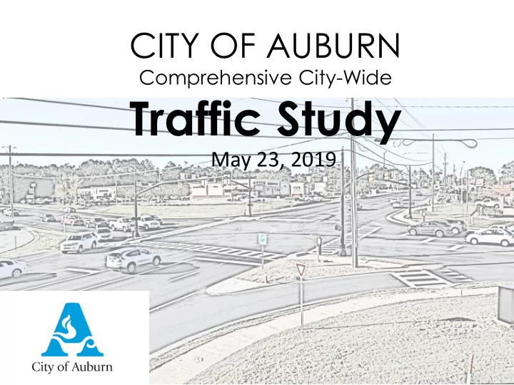

CITY OF AUBURN Comprehensive City-Wide Traffic Study May 23, 2019
Project Team DBS
Scope of work Task 1 – Data Collection Task 2 – Corridor Evaluations Task 3 – Isolated Intersection Evaluations Task 4 – Signal System Evaluations Task 5 – City-wide Crash Study Task 6 – Cost Estimates Task 7 – Project Prioritization Task 8 – Public Involvement Task 9 – Final Documentation Task 10 – Meetings/Presentations RLC
Study Corridors and Intersections College Street Samford Avenue Donahue Drive Bent Creek Road Gay Street Opelika Road Dean Road East University Drive Moores Mill Road Shug Jordan Glenn Avenue Parkway
Study Corridors and Intersections
City-wide Crash Study
City-wide Crash Study
City-wide Crash Study
High-Priority Crash Locations 1. South College Street at Longleaf Drive 2. South College Street at East University Drive/Shug Jordan Parkway 3. South College Street at Donahue Drive 4. College Street at Magnolia Avenue 5. North College Street at Glenn Avenue 6. North College Street at East University Drive/Shug Jordan Parkway 7. North College Street at Farmville Road 8. Opelika Road at North Dean Road 9. Opelika Road at East University Drive 10. West Glenn Avenue at Wright Street 11. East Glenn Avenue at Dean Road 12. Shug Jordan Parkway at North Donahue Drive 13. Shug Jordan Parkway at Ware Drive
City-wide Crash Study
Pedestrian and Bicycle Analysis and Recommendations
Walkway Recommendations FOCUSED ON: Safety Improving conditions along high-risk roadways • Example: Multi-Use Path along a portion of S College Connectivity Filling key gaps in the sidewalk network • Example: Sidewalks along N Donahue Access Providing walkways on roadways with a high density of destinations/activity generators • Example: Sidewalks along Opelika Rd
Bikeway Recommendations FOCUSED ON: Practical, Context-Sensitive Solutions • Buffered bike lanes on Opelika Rd and N Donahue Dr • Multi-Use Paths along S College and Dean Rd (north of Opelika) • Traffic calming and shared lane markings on Magnolia to • Right-sizing Dean Rd will improve safety for all users and add a bike lane • Bike lane (where possible) on Gay St
Crashes Involving Pedestrians and Bicyclists by Roadway Functional Classification, 2012-2016 Locations of crashes involving 48% 7% 45% pedestrians 46% 19% 35% Locations of crashes involving bicyclists 56% 16% 28% Auburn's roadway network miles 0% 10% 20% 30% 40% 50% 60% 70% 80% 90% 100% Local Collector Arterial
Bicycle Safety Risk Pedestrian Safety Risk
Implementation Strategies Project Prioritization
Design Guidance
Design Concept for Dean Rd and Opelika Rd
Proposed Signal Systems College Street/Samford Avenue Gay Street Opelika Road Dean Road Bent Creek Road Moores Mill Road Donahue Drive East University Drive
Traffic Signal Systems
Traffic Signal Systems College Street I-85 to Roosevelt Drive/Miller Avenue 9 signals Gay Street Opelika Road to Thach Avenue 5 signals Donahue Drive MLK Drive/Bragg Ave to Magnolia Avenue 3 signals Dean Road Opelika Road to Moores Mill Road 6 signals
Traffic Signal Systems Moores Mill Road East University Drive to Grove Hill Road 2 signals Opelika Road Gay Street to Mall Parkway 7 signals East University Drive Gatewood Drive to Opelika Road 4 signals Glenn Avenue Bent Creek Road to Auburn Exchange 2 signals
Traffic Signal Systems Samford Avenue College Street to Gay Street 2 signals 36 total signals to be coordinated
Completed Signal Systems Completed signal systems highlighted in red.
Signal System Improvements Example Results Dean Road From East University Drive (north) to East University Drive (south) Length 3.1 miles Average Speed Northbound Southbound Before After Before After AM 15.0 mph 22.5 mph 16.8 mph 22.1 mph Midday 17.2 mph 27.9 mph 19.9 mph 24.7 mph PM 18.2 mph 19.3 mph 14.3 mph 21.3 mph
Travel Speed Comparison Dean Road – AM - Northbound BEFORE – 15.0 MPH AFTER - 22.5 MPH
Recommended Improvements 65 recommended improvement projects 8 Immediate Projects (0-2 years) 20 Short-Term Projects (3-5 years) 16 Mid-Term Projects (6-8 years) 21 Long Term Projects (9+ years) Note: assignment of projects to priority levels is preliminary subject to further review by City of Auburn
Immediate 0-2 Years (Preliminary)
Short Term 3-5 Years (Preliminary)
Mid-Term 6-8 Years (Preliminary)
Long Term 9+ Years (Preliminary)
Complete Plan
Cost Estimates Immediate Projects - $620,000 Short Term Projects - $4.6 million Mid-Term Projects - $3.4 million Long Term Projects - $17.2 million Total of all Projects - $25.8 million
Recommend
More recommend