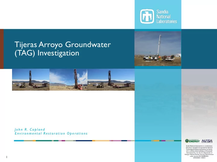

Tijeras Arroyo Groundwater (TAG) Investigation J o h n R . C o p l a n d E n v i ro n m e n t a l R e s t o ra t i o n O p e ra t i o n s Sandia National Laboratories is a multimission laboratory managed and operated by National Technology & Engineering Solutions of Sandia, LLC, a wholly owned subsidiary of Honeywell International Inc., for the U.S. Department of Energy’s National Nuclear Security Administration 1 under contract DE-NA0003525. SAND2020-11058 O
TAG Site Description 2 ▪ The Tijeras Arroyo Groundwater (TAG) Investigation Area of Concern (AOC) covers 1.82 square miles (1,165 acres). ▪ Located within the northern part of Kirtland Air Force Base (KAFB), ▪ Encompasses Sandia National Laboratories (SNL) Technical Areas I, II, and IV. ▪ The facilities at TA-I, TA-II, and TA-IV were built on land that had been previously developed by commercial airline operators starting in 1928 and to a much larger degree by the military during World War II. ▪ SNL activities began in 1948 and have primarily involved weapons development and energy research. ▪ Two water-bearing units, the Perched Groundwater System (PGWS) and the Regional Aquifer, are present in the alluvial-fan sediments (mostly sands and gravels) under the TAG AOC. ▪ Corrective action per NMED guidance is only required for elevated nitrate concentrations in the PGWS.
TAG Groundwater Description 3 ▪ Perched Groundwater System (PGWS) ▪ The water table occurs at a depth ranging from approximately 270 to 330 feet below the ground surface across the TAG AOC. ▪ The PGWS was created by manmade activities including sewage systems and wastewater outfalls. These activities were eliminated in 1992 resulting in the PGWS naturally dewatering (drying up) at approximately 0.5 feet per year. Landscape water has been reduced too. ▪ A thin layer of 7 to 20 feet of saturation in the silty sands remains across much of the TAG AOC. ▪ Thickness of the saturated layer is consistently decreasing; water mostly percolates downward. ▪ Groundwater in the PGWS slowly flows southeast at approximately 24 feet per year and merges with the Regional Aquifer near Powerline Road on KAFB. ▪ Regional Aquifer ▪ Depth to the Regional Aquifer ranges from approximately 440 to 560 feet below the ground surface across the TAG AOC. ▪ Vertically separated from the PGWS by a clayey Perching Horizon and about 200 feet of unsaturated strata. ▪ Groundwater in the Regional Aquifer flows west and northwest at approximately 55 feet per year.
Conceptual Site Model for the TAG Vicinity 4
TAG Groundwater Monitoring 5 ▪ Groundwater monitoring began in 1992. ▪ The U.S. Department of Energy (DOE) and its prime contractor for SNL have installed 31 monitoring wells in the TAG AOC. ▪ KAFB and the City of Albuquerque have installed 70 monitoring wells in the surrounding area. Cooperation and data sharing enhances our understanding of the hydrogeologic setting. ▪ Monitoring wells screened in the PGWS yield small volumes of water (typically one to two gallons per minute). ▪ Groundwater in the PGWS is contaminated with nitrate at concentrations slightly above the maximum contaminant level (MCL). ▪ The plume in the southeast corner of the TAG AOC is approximately 280 acres. ▪ Nitrate is typically derived from both man-made and natural sources, and may include septic leach fields, wastewater discharges, fertilizers, and degradation of minerals and plant material in soil. ▪ No other chemicals exceed the MCL. ▪ Depending on location, PGWS monitoring wells will go dry in 5 to 44 years, except in the extreme southeast corner of the AOC. ▪ Water from the PGWS is not used for any purpose at SNL; no one is drinking contaminated groundwater.
6
TAG Groundwater Monitoring 7 ▪ Elevated nitrate concentrations in the PGWS do not pose a threat to drinking water in the Regional Aquifer. SNL operations have not contaminated the Regional Aquifer. ▪ The nearest drinking-water production well in the Regional Aquifer is KAFB-20, which is located approximately 1 mile to the west of the elevated nitrate concentrations in the PGWS. ▪ The nearest Albuquerque Bernalillo County Water Utility Authority well is Ridgecrest 1 which is located approximately 2 miles to the north of the elevated nitrate concentrations in the PGWS. Maximum Concentration in Constituent of Maximum Concentration in Regional Perched Groundwater System, MCL Concern Aquifer, 2019 2019 24.6 milligrams per liter 4.24 milligrams per liter (well TJA-3); 10 milligrams Nitrate (well TJA-7) 37.1 milligrams per liter (well TJA-4, merging zone) per liter 5.71 micrograms per liter 0.700J micrograms per liter (well TJA-3); 5 micrograms Trichloroethene (well TJA-2, one-time exceedance) <0.300 micrograms per liter (well TJA-4) per liter
8 Maximum 2019 Nitrate Concentrations in the PGWS and the Regional Aquifer
Current Status and Recent Activities 9 ▪ Results from ongoing water-level measurements and groundwater sampling will be presented in the next Annual Groundwater Monitoring Report that will be submitted to the New Mexico Environment Department (NMED) Hazardous Waste Bureau (HWB) in June 2021. ▪ The Revised TAG Current Conceptual Model (CCM) and Corrective Measures Evaluation (CME) Report was submitted to the NMED HWB in February 2018. ▪ Three remedial alternatives were proposed in the revised CCM/CME report: ▪ Monitored natural attenuation using the existing well network. ▪ In-situ bioremediation requiring installation of numerous wells. ▪ Groundwater extraction and treatment requiring installation of numerous wells. ▪ All three remedial alternatives require the semiannual sampling of both water- bearing units. ▪ NMED HWB is anticipated to select a remedial alternative in 2021.
Recommend
More recommend