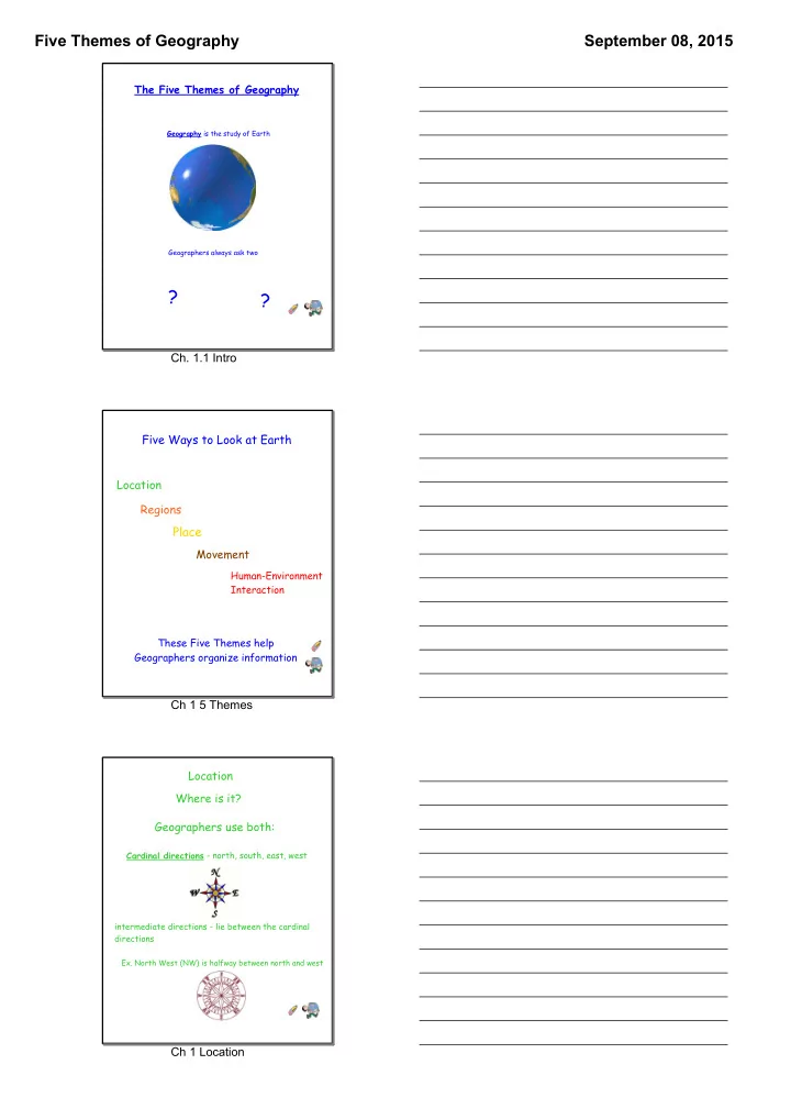
there s t e n o ch 1 1 intro five ways to look at earth
play

? there? s t e n o Ch. 1.1 Intro Five Ways to Look at Earth - PDF document

Five Themes of Geography September 08, 2015 The Five Themes of Geography Geography is the study of Earth Geographers always ask two Where are things ? Why are they located? ? there? s t e n o Ch. 1.1 Intro Five Ways to Look at Earth


  1. Five Themes of Geography September 08, 2015 The Five Themes of Geography Geography is the study of Earth Geographers always ask two Where are things ? Why are they located? ? there? s t e n o Ch. 1.1 Intro Five Ways to Look at Earth Location Regions Place Movement Human-Environment Interaction These Five Themes help notes Geographers organize information Ch 1 5 Themes Location Where is it? Geographers use both: Cardinal directions - north, south, east, west intermediate directions - lie between the cardinal directions Ex. North West (NW) is halfway between north and west notes Ch 1 Location

  2. Five Themes of Geography September 08, 2015 Location Geographers also use two special measurements of Earth to describe location latitude - is the distance north or south of the Equator, measured in degrees longitude - is the distance east or west of the Prime Meridian, also measured in degrees Ch1 Location 2 The Hemispheres The Equator and the Prime Meridian both divide Earth, in two. Each half of Earth is called a hemisphere. The Equator divides Earth into Northern and Southern Hemispheres. The Prime Meridian divides Earth into Eastern and Western Hemispheres. The Eastern Hemisphere includes the area from the Prime Meridian east to 180 0 of longitude The Western Hemisphere includes the area from the Prime Meridian west to 180 0 of longitude The North Pole marks 90 0 north of The Northern Hemisphere includes all lines of latitude the Equator north of the Equator The Prime Meridian marks 0 0 longitude The Southern Hemisphere The Equator marks contains all lines of latitude 0 0 latitude south of the Equator notes ch 1 Hemispheres Practice with Hemispheres Examine the illustration below. Decide in which two hemispheres (eastern or Western and Northern or Southern) each of the following continents or oceans is located. (Example: The U.S. is in the Northern and Western Hemispheres.) Northern Hemisphere Eastern Hemisphere Western Hemisphere Southern Hemisphere 1. North America ____________ 7. Indian Ocean _____________ 8. Asia____________________ 2. Europe _________________ 9. Africa __________________ 3. South America ____________ 10. Antarctica ______________ 4. Pacific Ocean _____________ 11. Arctic Ocean_____________ 5. Australia ________________ 12. Southern Ocean __________ 6. Atlantic Ocean ____________ Ch 1 Practice with Hemispeheres

  3. Five Themes of Geography September 08, 2015 Global Grid Lines of longitude and latitude form a global grid. Geographers can identify the absolute location of any point on Earth by finding the latitude and longitude lines that intersect at that point. Lines of latitude are also called parallels, because they run east and west and are parallel to one another. This means that they never cross. Lines of longitude are also called meridians. Meridians run north and south, from the North Pole to the South Pole. The Prime Meridian at 0 o longitude, runs through Greenwich, England. The Equator at 0 o latitude, circles Earth midway between the North and South poles. notes Ch 1 Global Grid Regions regions are used to group places that have something in common Population History Climate Landforms Ch 1 Regions Population Ch 1 Population

  4. Five Themes of Geography September 08, 2015 History Ch 1 History Sep 4­12:10 PM Climate Ch 1 Climate

  5. Five Themes of Geography September 08, 2015 Landforms Rocky Mountains African Plains Colorado Plateau Ch1 Landforms Place Place includes the human and physical features of a specific place Physical features are climate and landforms Human features are how people live, work they do, religion they practice, and the languages they speak Ch 1 Place Movement - how people, goods and ideas get from one place to another - people coming to the U.S. bring their traditions and culture and infuse it - technology has helped spread music ideas, etc... around the world notes Ch 1 Movement

  6. Five Themes of Geography September 08, 2015 Human-Environment Interaction - how people affect their environment or how natural surroundings (environment) affect people 1.1 Quiz Time to Practice Ch 1 Human­Environment Interation Chapter 1 Section 1: The Five Themes of Geography The World of Geography Notes 1. The study of Earth is called ____________________. 2. What two questions do geographers try to answer while studying different places? __________________________________________ 3. How do the five themes—location, region, place, movement, and human­environment interaction—help geographers when they study Earth? __________________________________________________ 4. North, east, south, and west are called ____________________. 5. What are two special measurements geographers use to describe location? ________________________________________________ 6. What line of latitude at 0 degrees of latitude is located around the middle of the globe? _________________________________________________ Ch 1.1 Notes 7. What is the line of longitude that marks 0 degrees of longitude?_______________________________________ 8. Each half of Earth is called a ____________________. 9. The invisible lines that form east­west circles around Earth are called lines of _______________ 10. The invisible lines that circle Earth from north to south are called lines of_______________. 11. Why is the study of movement useful to geographers? _________________________________________________ Ch 1.1 Notes­2

  7. Five Themes of Geography September 08, 2015 Video The Geographers Tools Ch 1.2 Intro Globes Advantages: ~Globes show an accurate model of Earth and its contents ~Continent and globe location would be more accurate Disadvantages: ~Not to scale , or relative size ~ Cannot be large enough to show streets and still be convenient for carrying e s o t n Ch 1 Globes Maps Advantages: ~Convenient to carry ~Can show greater detail of a specific area Disadvantages: ~Earth is round, when you flatten something that is round the continents become out of shape ~This is distortion , or loss of accuracy s t e n o Ch 1 Maps

  8. Five Themes of Geography September 08, 2015 Mapmakers try to make maps as accurate as possible. They use 3 tools to make maps Aerial Photos Satellite Images Geographic Information System notes Ch 1 Mapmakers Aerial Photos & Satellite Images Aerial Photos and Satellite Images are a valuable source of information about Earth's surface in great detail. They are not good for seeing underground transit Rainforest lines, streams covered by vegetation, etc... They can also distort views Ch 1 Aerial and Satellite Geographic Information System (GIS) GIS is a computer based system that links information to locations GIS systems connect information with places For Example: Where a business might open Where to station military troops notes Ch 1 GIS

  9. Five Themes of Geography September 08, 2015 Getting It All on the Map A Projection of Earth is a method of mapping Earth on a flat surface notes Ch 1 Map Projection Advantages: -land near equator about the right size Disadvantages" -areas near the poles look bigger than they are Ex. on a Mercator map Greenland looks bigger than South America, but actually Greenland is only 1/8 the size of South America Ch 1 Mercator Projection Advantages: -show correct size of land masses Disadvantages: - shapes are altered -lines that would be straight on Earth may be forced into curves to fit Ch 1 Equal Area Projection

  10. Five Themes of Geography September 08, 2015 Advantages: - shows most distances, sizes, and shapes quite accurately Disadvantages: -still has distortions, especially around the edges Geographers believe the Robinson Projection is the best world map available. notes Ch 1 The Robinson Project Other projections are useful for showing small areas, but not the whole world. Ch 1 Other Projections Reading Maps Ch 1 Reading Maps

Download Presentation
Download Policy: The content available on the website is offered to you 'AS IS' for your personal information and use only. It cannot be commercialized, licensed, or distributed on other websites without prior consent from the author. To download a presentation, simply click this link. If you encounter any difficulties during the download process, it's possible that the publisher has removed the file from their server.

Recommend


More recommend