The Port s Mission s Mission The Port Promote maritime commerce, - - PowerPoint PPT Presentation

the port s mission s mission the port
SMART_READER_LITE
LIVE PREVIEW

The Port s Mission s Mission The Port Promote maritime commerce, - - PowerPoint PPT Presentation

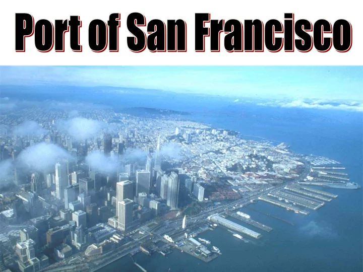
The Port s Mission s Mission The Port Promote maritime commerce, navigation and fisheries Protect natural resources Attract the public to use and enjoy the waterfront The Port Today 7 miles of prime San Francisco


slide-1
SLIDE 1
slide-2
SLIDE 2

The Port The Port’ ’s Mission s Mission

  • Promote maritime commerce,

navigation and fisheries

  • Protect natural resources
  • Attract the public to use and enjoy the

waterfront

slide-3
SLIDE 3
  • 7 ½ miles of prime San Francisco Waterfront
  • Over 600 acres of facilities
  • 160 acres of maritime cargo / industrial facilities
  • Over 270 buildings
  • 18.8 million sq. ft. of leased space under management
  • The Port currently receives approximately 80% of its revenues from real

estate related activities

The Port Today

3

slide-4
SLIDE 4

6‐year, inclusive community planning process, adopted 1997 Reunite San Francisco with its Waterfront

Achieving Consensus:

The Port’s Waterfront Land Use Plan

Established:

  • Policies/objectives
  • Allowable uses
  • Design guidelines
  • Process for
  • ngoing

community review

slide-5
SLIDE 5

EXPLORATORIUM

slide-6
SLIDE 6

EXPLORATORIUM

slide-7
SLIDE 7

CRUISE TERMINAL

slide-8
SLIDE 8

CRUISE TERMINAL

slide-9
SLIDE 9

CRUISE TERMINAL

slide-10
SLIDE 10

MISSION ROCK

slide-11
SLIDE 11

MISSION ROCK

slide-12
SLIDE 12

MISSION ROCK

slide-13
SLIDE 13

Pier 70 Master Plan Area

slide-14
SLIDE 14 Illinois Street 3rd Street Tennessee Street Minnesota Street 20th Street 22nd Street 19th Street 18th Street Irish Hill San Francisco Bay Potrero Power Plant Parcel 9 Parcel 6 Parcel 5 Parcel 4 Parcel 2 Crane Cove Park Parcel 3 Parcel 8 Parcel 7 Slipway Park Parcel 1 Central Plaza Park ? ? ? ? ? ? Potential Area of Heavy Degraded Petroleum Hydrocarbons A' A' A C:\GIS\4963 - Pier 70\arcmap_doc\2010\4963-01-072.mxd Legend Sample Location Approximate 1869 Shoreline Approximate Groundwater Flow Direction Approximate Location of Site Conceptual Model Surface Feature Fence Other Road Edge Potential Area of Heavy Degraded Petroleum Hydrocarbons Area of Potrero Power Plant Impacts Building Pier 70 Site Area Master Plan Parcel Areas (eg. Parcel 1 = P1, Crane Cove Park = CC, etc...) 400 800 200 Feet
slide-15
SLIDE 15
slide-16
SLIDE 16
slide-17
SLIDE 17

CRANE COVE PARK

slide-18
SLIDE 18

BAYVIEW GATEWAY

slide-19
SLIDE 19
slide-20
SLIDE 20
slide-21
SLIDE 21

PORT

OF

SAN FRANCISCO

slide-22
SLIDE 22

Environmental Regulations Transfer Agreement City Charter Waterfront Plan Burton Act Public Trust Law

Community C i t y H a l l State Lands Tenants BCDC Federal Gov’t

Governance and Oversight Governance and Oversight