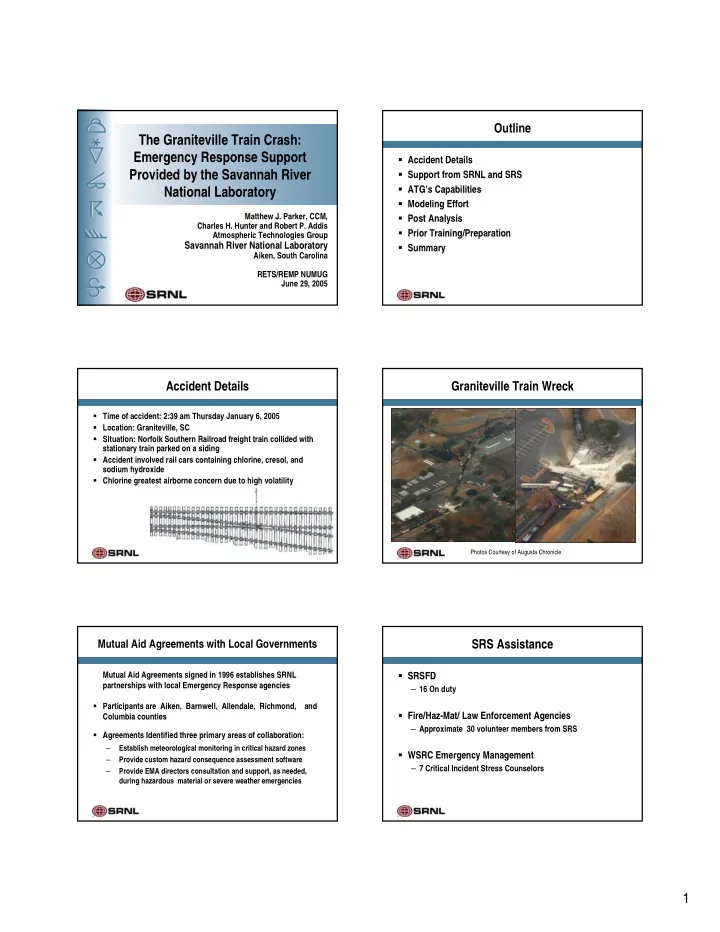
The Graniteville Train Crash: Emergency Response Support Accident - - PDF document

the graniteville train crash emergency response support
SMART_READER_LITE
LIVE PREVIEW

The Graniteville Train Crash: Emergency Response Support Accident - - PDF document

Outline The Graniteville Train Crash: Emergency Response Support Accident Details Provided by the Savannah River Support from SRNL and SRS ATGs Capabilities National Laboratory Modeling Effort Matthew J. Parker, CCM, Post


slide-1
SLIDE 1

1 The Graniteville Train Crash: Emergency Response Support Provided by the Savannah River National Laboratory

Matthew J. Parker, CCM, Charles H. Hunter and Robert P. Addis Atmospheric Technologies Group

Savannah River National Laboratory

Aiken, South Carolina RETS/REMP NUMUG June 29, 2005

Outline

Accident Details Support from SRNL and SRS ATG’s Capabilities Modeling Effort Post Analysis Prior Training/Preparation Summary

Accident Details

Time of accident: 2:39 am Thursday January 6, 2005 Location: Graniteville, SC Situation: Norfolk Southern Railroad freight train collided with stationary train parked on a siding Accident involved rail cars containing chlorine, cresol, and sodium hydroxide Chlorine greatest airborne concern due to high volatility

Graniteville Train Wreck

Photos Courtesy of Augusta Chronicle

Mutual Aid Agreements with Local Governments

Mutual Aid Agreements signed in 1996 establishes SRNL partnerships with local Emergency Response agencies Participants are Aiken, Barnwell, Allendale, Richmond, and Columbia counties Agreements Identified three primary areas of collaboration:

– Establish meteorological monitoring in critical hazard zones – Provide custom hazard consequence assessment software – Provide EMA directors consultation and support, as needed, during hazardous material or severe weather emergencies

SRS Assistance

SRSFD

– 16 On duty

Fire/Haz-Mat/ Law Enforcement Agencies

– Approximate 30 volunteer members from SRS

WSRC Emergency Management

– 7 Critical Incident Stress Counselors

slide-2
SLIDE 2

2

SRS Assistance (cont.)

SRS Operations Center (SRSOC)

– 6 Personnel – Logistics requests – DOE Headquarters Briefings – Department of Homeland Security Briefings

Wackenhut Services Incorporated

– 7 Personnel

SRNL Atmospheric Technologies Group

– 6 Personnel – Consequence modeling & meteorological data – Weather forecasting & consulting

SRS Tower Network

SAVANNAH RIVER AUGUSTA Aiken

EDGEFIELD CO AIKEN CO

GA SC

R I C H M O N D C O . BURKE CO B A R N W E L L C O . A L L E N D A L E C O . AIKEN CO. BARNWELL CO. 20 20 19 1 1 1 781

WJBF Existing SRS Monitoring Sites SAVANNAH RIVER SITE

278 278 78 78 1 78 C O L U M B I A C O R I C H M O N D C O 25 North Augusta 25 520 125 1 03R00172-01.ai

9 towers on SRS (200ft) 4 towers Richmond county (120 ft) 1500 ft TV tower data available every 15 minutes

Meteorological Data Flow

Atmospheric Modeling Linux & IBM Computer Arrays Weather center computers WIND System Software Applications F i r e w a l l

Internet TV Tower SRS Towers Worldwide weather data Local weather data

Sun Unix Relational Data base & LINUX RAIDs

Regional Observing Stations

NWS Observing Stations SC & GA

SRNL forecast models use weather analyses derived from data from NWS observing stations SRNL receives data from all NWS stations across all USA (as well as world wide)

  • Surface observations
  • Upper air balloon soundings

Regional Atmospheric Modeling at SRS

SRNL Forecasts Weather Conditions 24-36 hours For South East USA

SRNL uses the Regional Atmospheric Modeling System (RAMS) to forecast winds etc. at SRS for:

  • emergency response
  • prescribed forest burns
  • operational forecasting

Model runs updated every 12 hrs

Local Atmospheric Modeling at SRS

SRNL Forecasts Weather Conditions 3 - 6 hours For SRS & environs

SRNL uses RAMS to nest a fine scale forecast FOR winds etc. at SRS for emergency response Model runs updated every 3 hrs

slide-3
SLIDE 3

3

Hierarchical Menu of Consequence Assessment Codes

  • Area Evacuation ( immediate phase, < 5 km)
  • Puff / Plume (early phase, 0.5 - 50 km)
  • 2DPUF (early- intermediate phase, 1 - 100 km)
  • LPDM (intermediate phase, 5 - 300 km)
  • Stream II (aqueous)

Supporting codes:

  • NARAC, CAMEO/ALOHA, HOTSPOT, VSMOKE, HPAC, HYSPLIT

Consequence Assessment Modeling Modeling Considerations

Estimating a Chlorine release rate

– Extent of damage (small crack vs. large rupture) – Amount of inventory remaining

Dense gas behavior for Chlorine

– Boiling point -29.3 F

Other chemicals

Synopsis of Meteorological Conditions - Morning of Jan 6

Surface high (1022 mb) off the Southeast U.S coast

producing south to southwesterly flow over Georgia and South Carolina Partly cloudy sky with areas of fog Observations from the SRS Regional Tower Network

Wind: SSW 2-4 mph (sfc); 6-8 mph (200 ft) Temp: Mid 50s F RH: 90%

  • Atm. Stability:

Slightly stable to neutral

Initial SRNL Response (Day 1)

Assistance requested shortly after 7:00 am First Puff-Plume model result web-posted for external access by 8:00 am Subsequent model results posted throughout the day (every 2-3 hours) with updated meteorology from local meteorological towers Ongoing discussions with Aiken County EOC and SC DHEC including briefings on current and forecast meteorological conditions Weather support for the SRS on-scene responder teams

Ongoing SRNL Response (Day 2)

Continued posting of model results posted throughout the day (every 2-3 hours) Ongoing discussions with Aiken County EOC including briefings on current and forecast meteorological conditions Modeling to support recovery actions

– Case 1: Spill of rail car with 40% inventory – Case 2: Spill of rail car with 100% inventory

First Atmospheric Model Run Posted on WEB site for local and states

slide-4
SLIDE 4

4

Puff/Plume results integrated with GIS

Local Atmospheric Modeling at SRS

SRNL Forecasts Weather Conditions 12 hours For SRS & environs

SRNL uses RAMS ( to nest a fine scale forecast for winds etc. at SRS for emergency response Forecast wind fields updated every 3 hrs

Land-Use Features for Inner Grids

  • Topography

shows north- south oriented valley in which Graniteville is located.

Incorporation of Nested Grids

  • Lowest level above

ground (outer 2 grids, 15 m AGL; inner 2 grids, 7 m AGL).

  • Initialize model with

RUC and nudge to lateral BC’s every 3 hours

  • Simulate from 18UTC,

05 Jan to 00UTC, 07 Jan

slide-5
SLIDE 5

5

Close-up of railroad track “spur” Note the green tree tops. Possible indication of plume depth.

slide-6
SLIDE 6

6

Prior Training / Preparation

Annual Emergency Response Organization exercises Scenarios for accidents involving multiple tankers for an onsite railway (non-SRS shipments) Multiple chemical types used (HF, NH4, etc) Use of ALOHA for source term Integration with ATG’s models Post analysis in our own backyard

Summary

SRNL resources worked as designed, providing timely information directly to the local decision-maker

– Aiken County Joint Operations Center – State authorities in Columbia (DHEC)

Very positive feedback from Aiken County authorities.

‘It was very crucial to give us up-to-date wind conditions and plume models’

  • Mike Hunt, Aiken Co. Sheriff

courtesy Augusta Chronicle