
SLIDE 1
The Drone Used to Measure the Tianlai Dish Antenna Gain Patterns
Jingxin Liu, Qiaolin Shuang, Jiexia Li, Santanu Das, Fengquan Wu, Juyong Zhang & Peter Timbie April 24, 2018
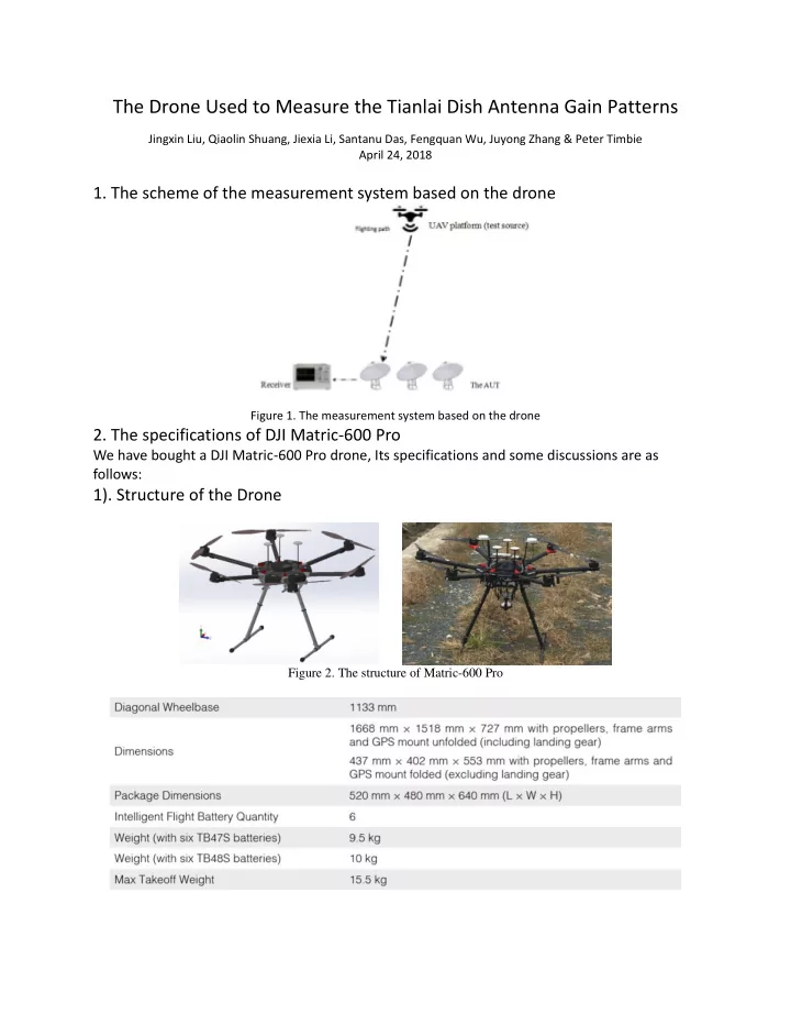
- 1. The scheme of the measurement system based on the drone
Figure 1. The measurement system based on the drone
- 2. The specifications of DJI Matric-600 Pro