
SLIDE 1
Geo-referenced Information System for Disaster Risk Management (Geo-DRM) 26-27 June 2014, Bangkok, Thailand
Presented By Rameshwor Dangal M inistry of Home Affairs Government of Nepal
1
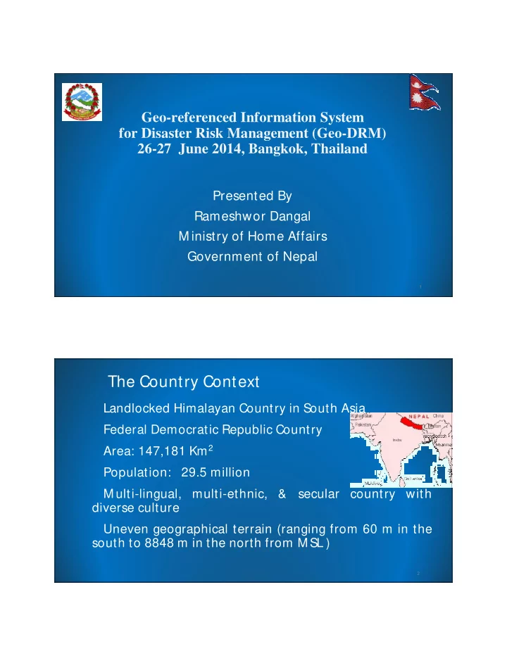
Landlocked Himalayan Country in South Asia Federal Democratic Republic Country Area: 147,181 Km2 Population: 29.5 million M ulti-lingual, multi-ethnic, & secular country with
diverse culture
Uneven geographical terrain (ranging from 60 m in the
south to 8848 m in the north from M SL )
2