texas floodplain management association conference larry
play

Texas Floodplain Management Association Conference Larry Voice, FEMA - PowerPoint PPT Presentation

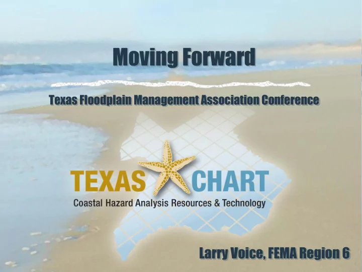
Moving Forward Texas Floodplain Management Association Conference Larry Voice, FEMA Region 6 Texas Coastal Mapping Effort 367 miles of open Gulf of Mexico shoreline 22 major hurricanes since 1875 Current maps dates range from 1971-


  1. Moving Forward Texas Floodplain Management Association Conference Larry Voice, FEMA Region 6

  2. Texas Coastal Mapping Effort  367 miles of open Gulf of Mexico shoreline  22 major hurricanes since 1875  Current maps dates range from 1971- 2007  Update includes a comprehensive storm surge model for the Texas Gulf Coast  Half of the 17 counties are rural and sparsely populated

  3. Project Update – Storm Surge Study  USACE completed storm surge study for entire coast  Validated against historic storms (Brett, Allen, Rita, Carla, Ike)  Provides Stillwater Elevations Surge elevations for Hurricane Alicia, modeled as part of the Texas coast storm surge model validation. The color scale on the right is an indicator of storm surge depth with the lowest values indicated in blue.

  4. Project Update – Wave Analysis  Nearly Complete  Preliminary maps submitted starting in April  Issue Preliminary FIRMs starting in June.

  5. Engagement Opportunities  To Date  Project Scope and Analysis Meetings  Meet and Greet Meetings in 2007  Elevation Grid Review Meetings  WHAFIS Set Up Meeting  Technical Workshops  Flood Risk Review Meetings

  6. Collaboration Throughout  Mapping project partners include: FEMA – Region 6 and Headquarters  U.S. Army Corps of Engineers  Texas Water Development Board and TNRIS  FEMA’s Mapping Contractors  17 county governments and their communities   The Whole Community concepts benefit: Residents and Business owners  Real Estate professionals  Insurance professionals  Local officials, planners, builders and developers 

  7. Texas Coastal Hazard Analysis Resources & Technology  TXCHART  Concerted effort to broaden the education and information sharing throughout the Floodplain Mapping Process  Effort aims to increase awareness of coastal flood risks of residents, community officials and business owners  Interaction of local community officials and FEMA in the review of intermediate data , allowing local input to be gathered and included as the modeling is being finalized  Preparation of non-regulatory Flood Risk Products to discuss flood hazards and understand the variability of study results along the coastline  Promotion of pro-active mitigation strategies for coastal communities once new data is provided.

  8. Project Timeline New Flood Maps Better Informed Coastal = and risk products Communities Communities should plan community outreach now

  9. Community Role in Public Education & Outreach  Risk Awareness begins at the Local Level  Easily make information available  You are the trusted source  Inform your citizens  Tools and templates available  Review your current Community Outreach Plan  Contact us – we have products to support your efforts

  10. Upcoming Engagement with Study Results  Community Consultation Officers (CCO) Meeting  FEMA will review Preliminary FIRM and FIS with community  Explanation of scientific methods for determining flood risk data  Explain the regulatory process for map adoption  Discuss FIRM and FIS report maintenance through LOMRs  Impacts of New Mapping on Insurance  Introduction to Non-Regulatory Flood Risk Products  Introduce and coordinate upcoming Meetings – led by community , supported by FEMA

  11. Upcoming Engagement with Study Results - New  Resilience Meetings  How to use the Non-Regulatory products?  Local officials, planners, emergency managers, regional authorities  Stakeholder Mapping Update meetings  How will map changes affect your citizens?  Local realtors and insurance professionals  Open Houses (Community to lead/FEMA support)  How the maps will affect your property?  Public – residents and business owners  Prepare now for new Risk Information

  12. Regulatory Update Products Traditional Mapping Products DFIRM Database Flood Insurance Rate Map 12

  13. Awareness Prompts Action Limit of Moderate Wave Action (LiMWA)  FEMA does not impose floodplain management requirements based on the LiMWA.  The LiMWA is provided to communicate the higher risk that exists in the area.  1.5-foot breaking wave in the LiMWA zone can potentially cause foundation failure  Communities are encouraged to adopt building construction standards similar to Zone VE in those areas.

  14. Limit of Moderate Wave Action (LiMWA)  LiMWA is Non-Regulatory  Defines the Coastal A Zone Limit of Moderate Wave Action Landward limit of 1.5 ft (LiMWA) breaking wave height

  15. Why Show the LiMWA?  Over the years, post-storm damage assessments by FEMA Mitigation Assessment Teams (MATs) show that A Zone buildings constructed directly behind V Zones often suffer damage due to surge, breaking waves, coastal erosion and scour

  16. Awareness Prompts Action – Non-Regulatory Products  Changes Since Last FIRM (CSLF)  Risk MAP Coastal Depth Grids  Areas of Mitigation Interest (AOMI)  Flood Risk Report  Flood Risk Database

  17. Taking Action to Reduce Risk Community Awareness and Action = Reducing Flood Risk Long-Term Share this information with your Community   Use the new products to enhance Hazard Mitigation Plans Four basic types of mitigation objectives: • Prevention • Property protection • Flood control • Emergency services Additional mitigation objectives: • Public education and awareness • Natural resources protection • Sustainability

  18. Recommended Practices in Coastal A

  19. Resilience Meeting Goal - To build local capacity for implementing priority mitigation activities along the Texas coast. Objectives – to help communities: • Better understand their flood risk • Identify strategies they can use to reduce that risk and improve their resilience to floods • Identify resources available to help them implement those strategies • Understand the importance of communicating flood risk to their residents • Know their role in helping their communities take action to reduce their flood risk • Use the new Flood Risk Data available

  20. Stakeholder Mapping Update Meeting Goals • Initiate effective partnerships and promote involvement with insurance agents, realty professionals and lenders • Convey technical information and educate stakeholders to use new tools and flood risk data • Build stakeholder awareness of coastal flood studies, the post- preliminary mapping process, NFIP policy and the impacts on affected citizens One Meeting per County • Coordinated with the county – Communities encourage participation of their stakeholders Includes: Background on the project, Insurance Q & A, demo of mapping portal and website 

  21. Public Open House Goals • Promote public awareness of the flood risk • Convey technical information and educate public to use new tools to make informed decisions about their flood risk The Open House meeting: • Led by County and Community FPAs • FEMA supports your Outreach • One per county – get the word out to your citizens! • Interactive Digital Maps, Community tables with paper maps, Engineering support, Insurance Specialists, new flood risk products, coastal mapping video, TXCHART.com assistance

  22. Resources  TXCHART.com  Riskmap6.com  Key Message App- http://txchart2go.riskmap6.com  Communication Assistance  Flood risk products/flood hazard maps  Media materials  The Coastal Voice – sign up online  FloodSmart for Local Officials  Social Media helps  Coastal Fact Sheets and Resources – available in Spanish, Vietnamese and Haitian Creole

  23. www.txchart.com Links to new products, like Changes Since Last FIRM (CSLF) Resources in English, Spanish, Vietnamese and Haitian Creole

  24. Flood Risk Information and Links in Spanish

  25. http://maps.riskmap6.com Interactive map… www.riskmap6.com …more Resources

  26. http://txchart2go.riskmap6.com

  27. Challenges - Levees  Levees must be certified to 44 CFR 65.10  If levee is not certified, FEMA de-accredits the levee  FEMA is currently in the process of evaluating options to replace their de-accredited levee approach with a suite of methodologies that are  technically sound, credible, and cost effective  Project Implication – delay in map delivery  Counties with de-accredited levees will not proceed with official Preliminary FIRMs and Post-Preliminary Process without new procedures http://www.fema.gov/plan/prevent/fhm/lv_lamp.shtm

  28. Next Steps  Preliminary Maps issued Community Consultation Officer  Resilience meetings and Stakeholder meetings  Open Houses scheduled – coordinated with counties  90-day Appeal Period begins   Letter of Final Determination 6-month compliance period  Effective Maps issued 

  29. Get the word out to your residents…  Coastal Texans must be informed; it’s up to everyone to know their risk, know their role, and take action now.  Through flood studies and updated maps, communities in coastal areas will receive more precise flood risk information about the flood risk where they work and live.  Share information about this study with your family and neighbors; visit our website – www.txchart.com

  30. Questions? Larry Voice TX Coastal Project Monitor, FEMA Region 6 Larry.Voice@fema.dhs.gov (940) 898-5419

Download Presentation
Download Policy: The content available on the website is offered to you 'AS IS' for your personal information and use only. It cannot be commercialized, licensed, or distributed on other websites without prior consent from the author. To download a presentation, simply click this link. If you encounter any difficulties during the download process, it's possible that the publisher has removed the file from their server.

Recommend


More recommend