
SLIDE 1
1
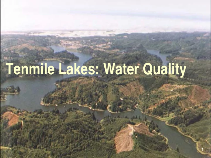
Tenmile Lakes: Water Quality 1 Topics of Discussion Tenmile Lakes - - PowerPoint PPT Presentation
Tenmile Lakes: Water Quality 1 Topics of Discussion Tenmile Lakes Basin Partnership History of Tenmile Lakes What do we know? Factors impacting WQ Future? 1 The Watershed Council Formed during the Dam fight City of
1
1
Tenmile Lakes Basin Partnership History of Tenmile Lakes What do we know? Factors impacting WQ Future?
Formed during the Dam fight City of Lakeside is Fiscal agent Volunteer Group Grant supported: Federal / State 14 Boardmembers
Average 2 yr budget = ~500,000 Science/economic based approach to
3/11/2014 4
3/11/2014 5
3/11/2014 6
Lakes formed ~18,000 yrs ago by
Supported Native American
First European Settlers early
1868 fire burned eastern portion of
Hydrologic modifications Native Salmonids >100,000 Nonnative species absent
Paleolimnology Study. (Eliers 1995) Limnology Report. (Systma 1998) Nutrient Budget Phase I and II. (Eliers 2002) Riparian Assessment. (TLBP 2002) Road/Erosion Surveys. (TLBP 2002) Watershed Assessment. (TLBP 2003) Tenmile Lakes TMDL (ODEQ 2009) Aquatic Plant Surveys. (TLBP 2003) Pre 74’ Sanitary Surveys (Coos County/TLBP 2007)
3/11/2014
5 HUC field 4 subbasins: Clear, Tenmile, Saunders,
Watershed area 97,000 sq acres or 98 miles Tenmile (N & S) = 42.2 shoreline miles S. Lake largest = 22.9 shoreline miles
Both S. and N. Tenmile considered highly
History reveals major changes in fish populations Coho salmon once dominated system Lakes provided productive salmonid rearing habitat Perch and Bullheads introduced in 1930s
Contract commercial fishery for catfish in 1952-54
Bluegill introduced in 1964 Lakes and lower tributaries treated with Rotenone
in 1968.
LMB introduced in 1971 Bullhead/perch back in 1986 Black crappie introduced in 1987 Hybrid Bass introduced in 1980s Smallmouth Bass introduced in system 1980s
Sediment Accumulation Rate at South Tenmile Lake Site Anthropogenic Events
Timeline 1910 – 1920 Railroad and road building Early logging prior to riparian and water protection measures 1920 – 1940 Agricultural wetland conversion, continued upland timber harvest 1939 - 1945 World War II 1955 to Present Accelerated urban and residential lakeshore development Upland timber harvest (Forest Practices Act 1972) Continued stream channelization and maintenance Increased low gradient channel instability Loss of wetlands TLBP 2002a
14
Figure 41 - Accumulation Rate of Cyanobacterial Akinetes in South Tenmile Lake (STA). 8
Results of Tenmile Lakes Septic Survey
20% 2% 2% 9% 34% 33%
Apparent properly functioning systems. Sites with untreated gray water discharge. System failures with evidence of sewage discharge into lake or ground water. Bottomless tanks identified. Systems in need of repair (not including gray water). Owners with systems in need of repair.
Pre-1974 Septic Systems
10
11
Estimates of Monthly Loading of TP From Septic System Inputs.
The annual septic system contribution of TP is estimated at about 10- 22% of the total watershed inputs. Septic system contributions are expected to be greatest in the summer and early fall and it is likely that septic inputs constitute an important component supplying nutrients to support blooms of cyanobacteria from late July to October when runoff from the upper watershed is minimal.
2 4 M iles
FAA Lakes Private property (small lot) Douglas County property Coos County property Industrial Timber State property Umpqua Lighthouse S.P. Tugman State Park Siuslaw National Forest Elliott State Forest M ixed State & Federal Watershed Boundary
Land Use
Tenmile Lakes Watershed
N
3/11/2014 12
97,000 sq acres predominantly Forest = 58%
Ten named Lakes in system
Largest Landowner: Elliott State Forest
Second Largest: Menasha Land & Timber
ODNRA: 8,650 acres
Agricultural Land use: 3%
Department of State Lands: Authority on lake bottom up to average high water @ 12.21 msl
Coos County authority of Nonresource lands
City of Lakeside authority within City limits
Over 600 lakefront lots with over 400 developed
3/11/2014 19
3/11/2014 20
3/11/2014 21
3/11/2014 22
3/11/2014 23
3/11/2014 24
3/11/2014 25
3/11/2014 26
3/11/2014 27
3/11/2014 28
Strong correlation between introduction of LMB and
Strong correlation between nonnative fish
Sediment Cores reveal change in Zooplankton
Sediment Accrual Rates (SAR) have increased 10 fold
All Land-uses: Forestry, Agricultural, Lakefront
Amount of “in-lake” nutrient cycling unknown Numerous invasive species (plant and fish)
14
Water quality problems in the Tenmile Lakes include: 1.) the presence of weeds (macrophytes) at densities that impair multiple recreational beneficial uses 2.) toxic and nuisance algal blooms impairing recreational, aesthetics, and drinking water beneficial uses Fishery issues in the Tenmile Lakes include: 1.) a major reduction in the historical anadromous fisheries populations (Abrams et al., 1991) 2.) the presence of exotic fish species (Abrams et al., 1991) Related issues in the Tenmile Lakes include: 1.) sediment accumulation at the mouths of streams (based on historical aerial photographs) resulting in significant changes in lake bathymetry 2.) increased sediment accrual rates for the lake as a whole (TLBP, 2002)
3/11/2014 31
3/11/2014 32
3/11/2014 33
3/11/2014 34
3/11/2014 35
3/11/2014 36
Address all sediment inputs (nitrogen/phosphorus) sources 15
3/11/2014 37
3/11/2014 38
1997 – Present Fisheries and Water Quality Improvements
16
~$6 million Federal/State/local grant dollars ~$1 million for Monitoring Results: 6 miles of ESF roads decommissioned 10 miles of County Hwy road drainage improvements 10 miles of riparian agricultural improvements City of Lakeside Wetland/Riparian Ordinance 55 fish passage structures improving fisheries access to ~28 miles of high quality stream habitat ~10,000cubic yards of high erosion potential sediment removed 4 Lakeside road segments upgraded with proper drainage Oregon’s first Invasive Species Spray-off Station 2 Floating Restrooms
16
Not all tributary streams have
Upslope Forestry Lakefront Development Septic Systems
3/11/2014 39
17
3/11/2014 40
3/11/2014 41
3/11/2014 42