
SLIDE 1
29
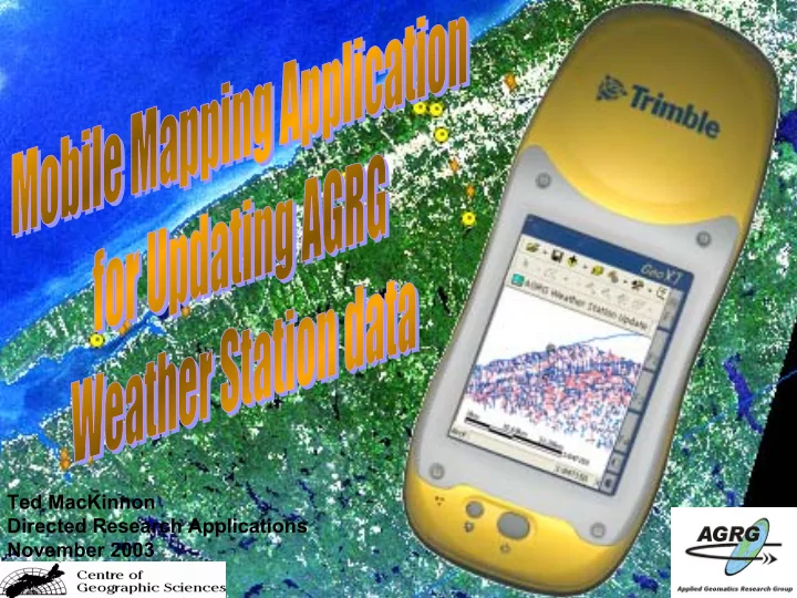
Ted MacKinnon Directed Research Applications November 2003
Ted MacKinnon Directed Research Applications November 2003 29 - - PowerPoint PPT Presentation
Ted MacKinnon Directed Research Applications November 2003 29 ArcPad combines both mobile mapping and geographic information system (GIS) technology together. It also provides database access, mapping, GIS, and global positioning
29
Ted MacKinnon Directed Research Applications November 2003
30
pan, and center on the current GPS position.
features.
mouse pointer, pen, or GPS.
31
from a project to use with ArcPad in the field
known as “disconnected editing” is great for updating an existing database and project with out having to create a new one each time.
complete data sets, allowing you to save disk space.
important to customize interface to reflect our own preferences.
the mobile device. Some of the customizations possible are:
32
33
CONFIGURATION icon
displaying <ArcPad> and <CONFIG> elements
34
Properties
35
called ArcPad.apx and must be placed in the System Folder in order for ArcPad to load the file upon start up.
36
37
38
Prompt, and select an Image for the button The details of your new toolbar and button will then be displayed in the CONFIG tree
39
– Check to see if layer is present – Set layer to an editable layer if it is not already – Find the coordinates of the point that the user selected – Add a new point feature to the layer – Initiate the form to collect attribute data – Return the button back to its original state
40
where your ArcPad.vbs script will be written
the top and then begin writing your code below
in any preferred text editor)
41
'=========================================================== '-------------------------------------------------------------------------------------------------------- ‘ ArcPad.VBS ' November 25, 2003 ' ' Mobile Mapping application used to assist in recording information collected ' during a visit to one of the AGRG weather stations or when using the ‘ handheld weather station. This tool will provide information about the existing ' stations as well as collecting information. This file must accompany the ‘ ArcPad.apx file and be stored in the system folder. '-------------------------------------------------------------------------------------------------------- '============================================================
42
'======================================================= ' AddData: Adds data to an existing layer called weatherstations_update '======================================================= Sub AddData Dim X, Y, objToolButton, blnLyrExists 'Get a reference to the tool button object Set objToolButton = ThisEvent.Object 'Initialize blnLyrExists flag To False blnLyrExists = False Dim objLyr 'Check Map Layers for weatherstations_update.shp For Each objLyr in Map.Layers If StrComp (objLyr.Name, "weatherstations_update", 1) = 0 Then blnLyrExists = True Exit For End If Next 'Notify the user if weatherstations_update.shp layer does not exist If Not blnLyrExists Then MsgBox "The weatherstations_update.shp layer is not selected.", vbExclamation, "Layer not present" 'Return the tool button to its original state, and then exit
Exit Sub End If 'If the weatherstations_update.shp layer does exist: 'Get the coordinates of the spot where the user clicked on the map X = Map.PointerX Y = Map.PointerY 'Get a reference to the weatherstations_update.shp Layer object Dim objLayer Set objLayer = Map.Layers("weatherstations_update") 'If the layer can be editable, then make it editable If objLayer.CanEdit Then
'Check to see if a point already exist at the specified XY location ... If Not Map.SelectXY(X,Y) Then 'If no point exists then add a new point at the clicked location Call Map.AddFeatureXY(X,Y) 'Return the tool button to its original state
Else Msgbox "Hey Dude, there is already a point there." Call IdentifyXY(X,Y) 'Return the tool button to its original state
End If 'Return the tool button to its original state
End If
43
writing your script, click the Compile icon check for any syntax errors
compiled if you hear a beep after clicking the icon
44
created
then click Edit to open the Tool Properties window
window add code that will refer to a section of the script Call AddData
45
icon and then choose the shapefile that you wish to use as a layer file.
definition file (.apl) with the same name as the shapefile
46
the .apl window to set the properties of the layer definition file.
the Name text box
47
<LAYER> as name = AGRGstations
48
and a new blank form will appear
49
FORM in the main menu
height
selected
50
menu
second page, then repeat to add a third and fourth page
51
selecting PAGE PROPERTIES from PAGE in the main menu
52
that you wish to add to your form
window will open up allowing you to set all the properties for the new control item
53
wish the value to be written to the main shapefile
add choices to your combo box
54
controls and setting their properties until your form is complete
55
the top and then begin writing your code to go with your .apl file below
in any preferred text editor)
56
writing your script, click the Compile icon check for any syntax errors
compiled if you hear a beep after clicking the icon
57
58
59
60
CONTROL NAMES StationID cboLocation dtpDate cboVisitor cboStartTime txtComments txtFID CONTROL NAMES
61
CONTROL NAMES CONTROL NAMES
cboEquipment txtEquipmentNotes txtStationID
62
CONTROL NAMES CONTROL NAMES txtPhotoName txtDirection sldDirection txtDescription txtStationID txtNumPhotos
63
CONTROL NAMES CONTROL NAMES txtOwner txtPhone
txtAddress
txtDirections txtStationID