
SLIDE 1
N A T U R A L R E S O U R C E S C O N S E R V A T I O N S E R V I C E
Helping People Understand Soils
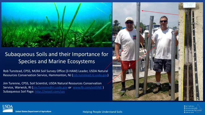
Subaqueous Soils and their Importance for Species and Marine Ecosystems
Rob Tunstead, CPSS, MLRA Soil Survey Office (3-HAM) Leader, USDA Natural Resources Conservation Service, Hammonton, NJ (rob.tunstead.nj.usda.gov) Jim Turenne, CPSS, Soil Scientist, USDA Natural Resources Conservation Service, Warwick, RI (jim.Turenne@ri.usda.gov or www.fb.com/soilSNE ) Subaqueous Soil Page: http://nesoil.com/sas