
SLIDE 1
¡ ¡ ¡ 1 ¡ ¡
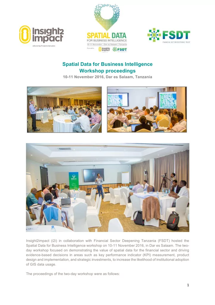
Spatial Data for Business Intelligence Workshop proceedings
10-11 November 2016, Dar es Salaam, Tanzania
Insight2impact (i2i) in collaboration with Financial Sector Deepening Tanzania (FSDT) hosted the Spatial Data for Business Intelligence workshop on 10-11 November 2016, in Dar es Salaam. The two- day workshop focused on demonstrating the value of spatial data for the financial sector and driving evidence-based decisions in areas such as key performance indicator (KPI) measurement, product design and implementation, and strategic investments, to increase the likelihood of institutional adoption
- f GIS data usage.