
SLIDE 1
Spatial Data Management
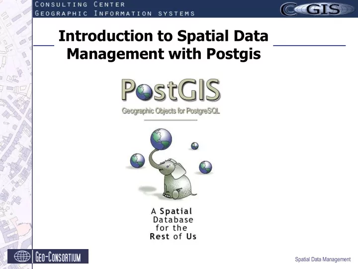
Introduction to Spatial Data Management with Postgis Spatial Data - - PowerPoint PPT Presentation
Introduction to Spatial Data Management with Postgis Spatial Data Management Content Introduction Managing Spatial Data with PostGIS PostGIS Data Model Creating a PostGIS enabled Database Insert Coordinates using SQL
Spatial Data Management
Spatial Data Management
Spatial Data Management
Spatial Data Management
Spatial Data Management
Spatial Data Management
Spatial Data Management
Spatial Data Management
POINT(2572292.2 5631150.7) LINESTRING (2566006.4 5633207.9, 2566028.6 5633215.1, 2566062.3 5633227.1) MULTILINESTRING((2566006.4 5633207.9, 2566028.6 5633215.1), (2566062.3 5633227.1, 2566083 5633234.8)) POLYGON (2568262.1 5635344.1, 2568298.5 5635387.6, 2568261.04 5635276.15, 2568262.1 5635344.1); MULTIPOLYGON(((2568262.1 5635344.1, 2568298.5 5635387.6, 2568261.04 5635276.15, 2568262.1 5635344.1), (2568194.2 5635136.4, 2568199.6 5635264.2, 2568200.8 5635134.7, 2568194.2 5635136.4 )))
Spatial Data Management
Spatial Data Management
createdb <dbname>
createlang plpgsql <dbname>
psql -d <dbname> -f postgis.sql This file also contains the CreateTable SQL for the metadata table geometry_columns psql -d <dbname> -f spatial_ref_sys.sql
Spatial Data Management
create table user_locations (gid int4, user_name varchar); select AddGeometryColumn ('db_mapbender','user_locations','the_geom','4326','POINT',2); insert into user_locations values ('1','Morissette',GeometryFromText ('POINT(-71.060316 48.432044)', 4326)); insert into user_locations values ('2', 'Sperb',GeometryFromText ('POINT(-48.6764 -26.8916)', 4326)); ...
Spatial Data Management
f_table_catalog | spatial f_table_schema | db_mapbender f_table_name | user_locations f_geometry_column | the_geom coord_dimension | 2 srid | 4326 type | POINT attrelid | 8751803 varattnum | 11 stats | gid | 1 user_name | Sperb the_geom | SRID=4326;POINT(-48.6764 -26.8916)
Spatial Data Management
shp2pgsql –s <epsgcode> <ShapeFileName> <TableName> <dbName> > <filename>
psql -d <dbname> -f <filename>
Spatial Data Management
Spatial Data Management
Select asewkt(<geometrycolumn>) from <table name>
gid | 1 user_name | Sperb the_geom | SRID=4326;POINT(-48.6764 -26.8916) Select user_name, asewkt(the_geom)from user_locations
Spatial Data Management geodata2=# SELECT EXTENT(the_geom) FROM tbl_spatial; extent
(1 row)
Example: Query for the minimum bounding box rectangle
Example: touches(), intersects(), overlaps(), buffer()...
Spatial Data Management
CREATE INDEX <indexname> ON <tablename> USING GIST ( <geometrycolumn> GIST_GEOMETRY_OPS );
Spatial Data Management
Internet
1 Client request map 2 Firewall admits request 3 Webserver authenticates user 4 Authorisation of user 5 Standard WMS getMap request 6 Spatial data query (SFS SQL) 7 Native data 6A OGC WFS getFeature request 7A ...returns GML 8 ... returns map image 5a OGC WFS getFeature request 6a Spatial data query (SFS SQL) 7a ...returns WKT 8a ...returns GML 9 GML and iamge are returned to the client
Intranet
A OWS requests B Webserver, 3 Authentication 4 Authorisation 5, 6, 7, C, A Standard WMS request 5a, 6a, 7a, D, A WFS request ...
Spatial Data Management
LAYER ... CONNECTIONTYPE postgis CONNECTION "user=<username> dbname=<database> host=<server> port=5432 password=<password>" DATA “<geometry_column> from <table>“ ... END
Example of a most simplistic SQL selection: DATA "the_geom from nutzung"
Spatial Data Management
Create view: CREATE VIEW qry_users AS SELECT * FROM users WHERE user_type LIKE 'professional' ORDER BY gid; DATA string in MAP configuration file: DATA "the_geom from (select * from qry_ nutzung) as foo using unique gid using SRID=31467"
Spatial Data Management
Example: Select street names from table <str_name> as Label for geometries from tbale <str> DATA "the_geom from (SELECT landuse.object_id, landuse.area, forest.type, forest.the_geom FROM landuse INNER JOIN forest ON landuse.gid = forest.gid) as foo using unique gid using SRID=4326"
Spatial Data Management
FILTER "[filteritem] = [Kriterium]" Example: Selection of users with type = "professional" DATA "the_geom from (select * from qry_users) as foo using unique gid using SRID=4326" FILTER "user_type > 'professional'"
Example: Selection of numbered roads from a network (second character is a number like in A42, B52,...) DATA "the_geom from tbl_streets" FILTER "(substr(street_name, (length(street_name)-1), 1)) BETWEEN 0 and 9"
Spatial Data Management
z.B.: CREATE SCHEMA spatial_schema;
z.B.: CREATE TABLE spatial_schema.db_user_locations (id int8, user_name varchar, user_type int4) WITH OIDS; SELECT * FROM spatial_schema.db_user_locations;
Spatial Data Management
Example: Load DBF file with OpenOffice.org and store it as CSV
Example: CREATE TABLE mytable (id int8, area float8, boart varchar) WITH OIDS; Example: COPY mytable FROM ‘/data/postgis_schulung/poi.csv’;
Spatial Data Management
Spatial Data Management
Spatial Data Management