
SLIDE 1
California State Legislative Conference Committee
- n Wildfire Preparedness and Response
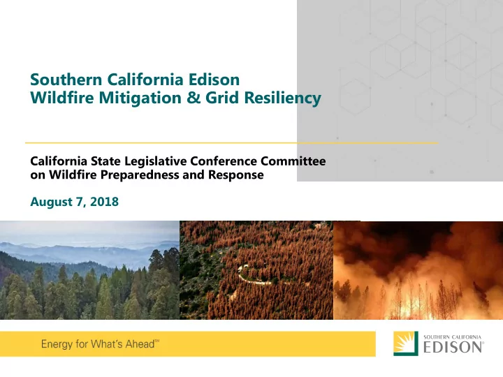
Southern California Edison Wildfire Mitigation & Grid Resiliency - - PowerPoint PPT Presentation
Southern California Edison Wildfire Mitigation & Grid Resiliency California State Legislative Conference Committee on Wildfire Preparedness and Response August 7, 2018 CALIFORNIAS WILDFIRE RISK Year-Round Fire Season: Changes to
2
3
during Red Flag Warning
Blocking
Practices
(joint patrol with fire agencies prior to fire season)
Technology
Weather Monitoring
Analytics to Improve Weather Prediction
Settings
Shutoff & Community Engagement
Management
SCE crews are installing 4,000 circuit miles of covered conductor planned in a multi-year Grid Resiliency Program across the high fire risk areas in advance of CPUC application filing.
Fire-resistant poles, crossarms and insulators Covered conductors/ insulated wire wrap Fast-acting fuses and advanced lightning arrestors
4
5 Weather Stations Strategically deployed to collect high-resolution weather data Enables more accurate forecasting at the circuit level Situational Awareness Center 24/7 weather and situational awareness monitoring Co-located with SCE’s Emergency Operations Center and Watch Office SCE meteorologists with electrical system and power delivery expertise Fire Monitoring Cameras New, HD cameras installed on SCE telecom tower to monitor wildfire activity Remote-controlled pan-tilt-zoom helps to pinpoint wildfire locations and improve response times Hi-Res Weather Data Visualization Visualization shows weather conditions at the circuit level Alerts notify meteorologists and incident response teams when conditions reach pre-identified thresholds
6
7
8
9
indicate extreme weather, SCE will begin predictive modeling to assess potential impact
weather conditions forecasted and NWS Red Flag Warning issued
local gov’t and agencies (e.g. emergency responders)
notifications on possible power shutoff
weather conditions imminent; continued modeling and more accurate forecasts determine affected areas
coordinate and communicate with local government, agencies and customers of possible power shutoff
weather and dangerous conditions validated by field resources
government, agencies and customers of power shutoff
weather subsides to safe levels and conditions validated by field resources
patrols of equipment begin, then power is restored to affected communities
customers notified
restoration
PLANNING AND MONITORING OUTAGE 10
Note: Actual onset of weather conditions and other circumstances beyond our control may impact coordination and notification efforts
weather watch alerts from the National Weather Service (NWS) and continues to refine predictive models
Dead, dying, diseased trees present a hazard and are removed to protect electrical facilities and eliminate risk of fire.
11