
SLIDE 1
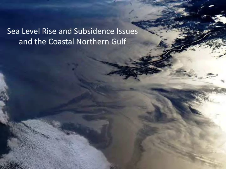
Sea Level Rise and Subsidence Issues and the Coastal Northern Gulf - - PowerPoint PPT Presentation
Sea Level Rise and Subsidence Issues and the Coastal Northern Gulf 1897The effects of the withholding by the levees from the great areas of the delta of the annual contribution of sedimentary matters and the steady, though slow, subsidence
1897—”The effects of the withholding by the levees from the great areas of the delta of the annual contribution of sedimentary matters and the steady, though slow, subsidence of the theses areas, is one which should be taken in account in deciding the important question of how to protect the people from the flood waters of the river….No doubt the great benefit to the present and two or three following generations accruing from a complete system of absolutely protective levees…far outweighs the disadvantages to future generations from the subsidence
cause…”
LSU Coastal Studies Institute LSU Center for GeoInformatics
Shoreline Loss and Interior Headland Areas Converting to Open Water (Port Fourchon and Caminada Headland
Use of USAC NOAA Image Mapping Sho Coastal Mov and Loss Th the Abandon the Mississip Delta Lobes Headlands
Interior of Caminada Headland and Open Water- Conversion to Open Water with Subsidence of the Delta Headland and Sea Level Rise
Caminada Headland Inundated by Tropical System, July 2010- Tropical Storms and Hurricanes are Significant Drivers in Changing and Loss of the Coastal Landscape
Morganza Reach J-2 Alignment
Terrebonne Parish South and East of Houma, Louisiana
Morganza Reach J-2 Alignment
Terrebonne Parish South and East of Houma, Louisiana
Morganza Reach J-2 Alignment
Terrebonne Parish South and East of Houma, Louisiana
NWS SLOSH storm surge model
Grand Isle Port Fourchon Galliano
Water level reference to datum - NAVD88
The National Hurricane Started Running ‘Category 0’ Storms Due to the High Vulnerability of the Coast to Even Small Storm Events
South Lafourche Levee District Levee Southern Extent During Hurricane Ike South Lafourche Flood Gate now converted to a Lock Flooded Homes outside South Lafourche Levee District Levees and Flooded Highway LA-1 to Port Fourchon and Grand Isle Hurricane Ike Inundation South Lafourche Parish
Landfalling Hurricanes in Other States are Flood Threats to the Louisiana Coast
Hurricane Ike Surge Event at Cameron Parish, Calcasieu Pass and Hurricane Category Has No Relation to Height of Storm Surge! An Example- Ike Vs. Isaac Hurricane Isaac Surge Event at St Bernard Parish at Shell Beach and the MRGO
Even Minimal Storms Are a Real Threat to the Coast
The National Climate Assessment (NCA) is being conducted under the authority of the Global Change Research Act (GCRA) of 1990. The GCRA requires a report to the President and the Congress every four years that integrates, evaluates, and interprets the findings of the U.S. Global Change Research Program (USGCRP). The Act requires assessment of the effects of global change (both human- induced and natural) on the natural environment, agriculture, energy production and use, land and water resources, transportation, human health and welfare, human social systems, and biological diversity. The time periods for analysis include current conditions as well as projections of major trends for the subsequent 25 to 100 years. National climate assessments provide status reports about climate change science and impacts. They are based on observations collected across the country as well as research that uses projections from climate system and other models. The NCA incorporates advances in the understanding of climate science into larger social, ecological, and policy systems, and provides integrated analyses of impacts and vulnerability. The NCA integrates scientific information from multiple sources and highlights key findings and significant gaps in our knowledge. It also helps the federal government prioritize climate research investments that will provide science for use by communities around the country to plan more sustainably for our future.
Collaborative Efforts by USACE, NOAA , USGS, EPA and Others is Critical in the Production of Reports as the NCA and Sea Level Rise Scenarios Reports
Old Highway LA-1 New Elevated Causeway
Fourchon to the New Leeville Bridge
Collaborative Work in the Field Has Produced Reports on Vertical Motion Downward of Coastal Louisiana Landscapes that Are Important Companion Reports to the NCA and SLR Reports
Note: The tide gauge record at Grand Isle contains components of global sea level rise, regional oceanographic change, and regional local vertical land motion.
Climate models project acceleration in Sea Level Rise starting before 2100 due to climate change- Many Areas through SE Coastal Louisiana See High Rates Now In Excess of 10mm
Note: this an example only, as exact rates and timing of the accelerations are unknown
Surveying using the LSU C4G Real Time Network along Louisiana Highway LA-1 Above Port Fourchon
Source- LSU Center for GeoInformatics
USACE Reports and Planning Guidance are Important Resources
Louisiana Has Critical Infrastructure and Facilities that are now the Focus of Studies Looking at Future Vulnerability (South Lafourche Parish and Highway LA-1
SLR and Subsidence Effects Lead to Greater Storm Damage in the Future with the same Storm Event
Source- LSU Center for Coastal Studies
The Future Landscape