
SLIDE 1
SDG indicator 15.3.1 Proportion of land that is degraded over total - - PowerPoint PPT Presentation
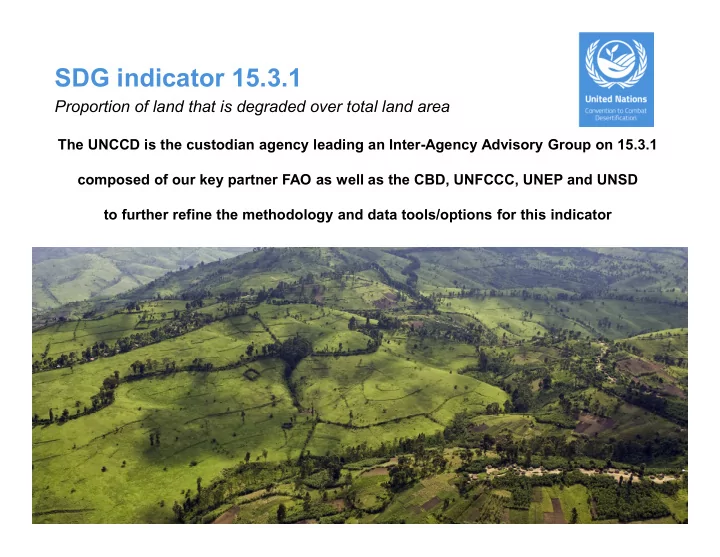
SDG indicator 15.3.1 Proportion of land that is degraded over total land area The UNCCD is the custodian agency leading an Inter-Agency Advisory Group on 15.3.1 composed of our key partner FAO as well as the CBD, UNFCCC, UNEP and UNSD to further
IPCC (6) GLC-Share (11) SEEA (15) ESA CCI-LC classes (22) National Legend Forest Land Tree Covered Areas Forest tree cover Tree broadleaved evergreen, Tree broadleaved deciduous, Tree needle leaved evergreen, Tree needle leaved deciduous, Tree mixed leaf type, Mosaic tree, shrub / herbaceous cover, Tree flooded, fresh water Grassland Grassland Shrub Covered Areas Sparse Vegetation Pasture and natural grassland Shrubland, bushland, heathland Sparsely vegetated areas Natural vegetation associations and mosaics Mosaic natural vegetation / cropland, Mosaic herbaceous cover / tree, shrub, Scrublands, Grassland, Lichens and mosses, Sparse vegetation Cropland Cropland Medium to large fields of rain-fed herbaceous cropland Medium to large fields of irrigated herbaceous cropland Permanent crops, agriculture plantations Agriculture associations and mosaics Cropland rain fed, Herbaceous cover Tree or shrub cover Cropland, irrigated or post- flooding, Mosaic cropland / natural vegetation Wetlands Herbaceous Vegetation, aquatic and regularly flooded Mangrove Open wetland Tree cover, flooded, saline water, Shrub or herbaceous cover, flooded Water bodies Settlements Artificial Surfaces Urban and associated developed areas Urban areas Other land Bare soil Snow and Glacier Barren land Permanent snow and glaciers Bare areas, Permanent snow and ice Water Bodies Inland water bodies Coastland Water bodies Sea