SLIDE 1
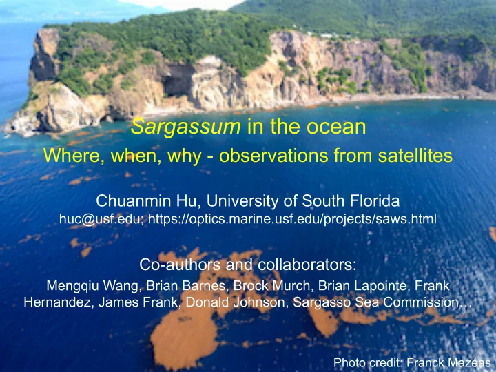
Sargassum in the ocean
Where, when, why - observations from satellites
Chuanmin Hu, University of South Florida
huc@usf.edu; https://optics.marine.usf.edu/projects/saws.html
Co-authors and collaborators:
Mengqiu Wang, Brian Barnes, Brock Murch, Brian Lapointe, Frank Hernandez, James Frank, Donald Johnson, Sargasso Sea Commission…
Photo credit: Franck Mazéas
SLIDE 2
The most comprehensive survey is still not enough
1992 – 2015 Sargassum survey
Slide from Amy Sinuda of Sea Education Association Annual surveys using neuston tows (1992 – 2015). Color represent density in g/m2
SLIDE 3 From space: How? Sargassum shows “red-edge” reflectance MODIS AFAI image VIIRS AFAI image Red-edge reflectance
Trinidad L e s s e r A n t i l l e s
Central West Atlantic
Hu (2009, RSE); Wang and Hu (2016, RSE)
SLIDE 4
Wang, Hu, et al. (2018, GRL) How? Experiment to determine biomass density versus reflectance
SLIDE 5
Where: near real-time products for the Intra-Americas Sea Gulf of Mexico, Caribbean, C West Atlantic, W Africa…. https://optics.marine.usf.edu/projects/saws.html Hu et al. (2016, EOS)
SLIDE 6
Near real-time products for the Intra-Americas Sea Google Earth compatible, functions to animate image sequence
SLIDE 7
Turtle rehabilitation program Some applications
NOAA Fisheries and partners have been using SaWS to identify Sargassum habitat in near real-time, which is critical to sea turtle conservation and research. During storm events when juvenile turtles are washed ashore, responders need to collect and hold them in a central facility until they are released in Sargassum habitat (otherwise they would have little chance of survival). During Hurricane Irma, over 2,500 hatchlings were washed ashore and later placed on Sargassum mats.
SLIDE 8 Time series: western Gulf of Mexico
Climatology between April 2000 – March 2017
Mar Apr May Jun
Mean monthly areal coverage (km2)
SLIDE 9
Prediction for the Caribbean Sea
Prediction: if a bloom occurs in the central West Atlantic in February, there will be major blooms in the Caribbean in May - August Wang and Hu (2017, GRL)
SLIDE 10 Monthly bulletins
- ptics.marine.usf.edu/projects/saws.html
Prediction for the Caribbean Sea
SLIDE 11
Sargassum transport through Gulf of Mexico
11
Prediction in other places? Florida Keys
SLIDE 12
- Satellite remote sensing is the only way to provide frequent and
synoptic observations of pelagic Sargassum in the vast ocean
- The general large picture (seasonality, distribution, amount, etc) has
been established for several regions, and can be established for other regions
- when, where, how much, some prediction
- Infrastructure for near real-time monitoring and tracking has been
established through SaWS
- Further research is required to 1) understand what caused the inter-
annual changes and 2) predict the future
General conclusions So what?
How to take the increased blooms as an opportunity?
- Fertilizers, biofuel, other use?
- Improve fisheries?
- Improve tourism guide?