
SLIDE 1
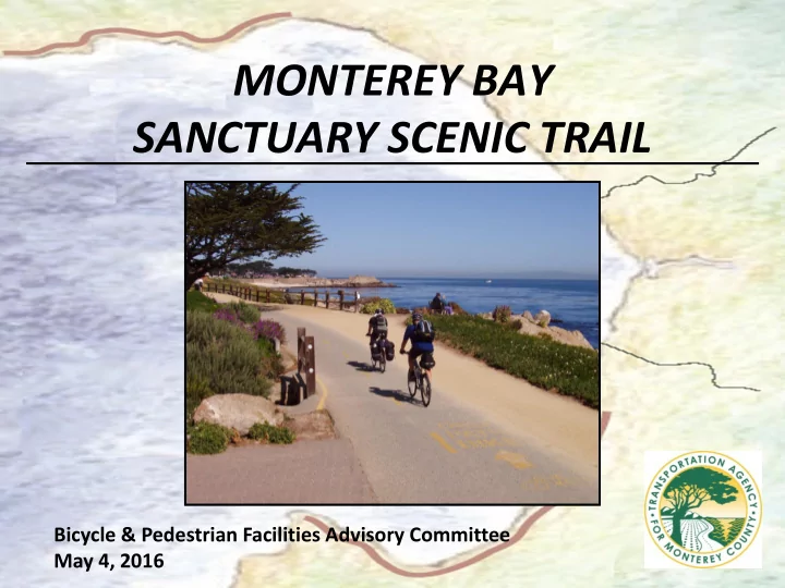
MONTEREY BAY SANCTUARY SCENIC TRAIL
Bicycle & Pedestrian Facilities Advisory Committee May 4, 2016
SANCTUARY SCENIC TRAIL Bicycle & Pedestrian Facilities Advisory - - PowerPoint PPT Presentation
MONTEREY BAY SANCTUARY SCENIC TRAIL Bicycle & Pedestrian Facilities Advisory Committee May 4, 2016 Vision Master Plan 2008: Multi-use recreation trail along Monterey Bay Multi agency partnership TAMC, Santa Cruz, AMBAG
Bicycle & Pedestrian Facilities Advisory Committee May 4, 2016