SLIDE 1
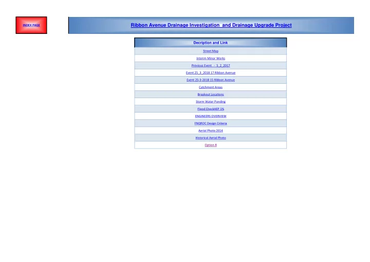
Decription and Link
Street Map Interim Minor Works Previous Event - 5_2_2017 Event 25_3_2018 17 Ribbon Avenue Event 25-3-2018 15 Ribbon Avenue Catchment Areas Breakout Locations Storm Water Ponding Flood CheckAEP 1% ENGINEERS OVERVIEW FNQROC Design Criteria Aerial Photo 2014 Historical Aerial Photo Option 8
Ribbon Avenue Drainage Investigation and Drainage Upgrade Project
INDEX PAGE
SLIDE 2
RETURN TO INDEX
RIBBON AVENUE STREET MAP
SLIDE 3
RETURN TO INDEX
INTERIM MINOR WORKS
SLIDE 4 RIBBON AVENUE STREET MAP - EVENT 5/2/2017
RETURN TO INDEX
Rainfall Runoff Event 5/2/2017
22 RIBBON AVENUE 17 RIBBON AVENUE
18 RIBBON AVENUE
SLIDE 5 Inundation of Property - Event 25-3-2018 - No. 17 Ribbon Avenue
RETURN TO INDEX
SLIDE 6 RETURN TO INDEX
25-3-2018 15 RIBBON AVENUE STREET MAP
SLIDE 7
Drainage Catchment Areas
RETURN TO INDEX
SLIDE 8
RIBBON AVENUE STREET MAP
RETURN TO INDEX
SLIDE 9
RETURN TO INDEX
STORMWATER RUNOFF AND PONDING
SLIDE 10
http://dnrm-floodcheck.esriaustraliaonline.com.au/floodcheck/
RETURN TO INDEX
QRA FLOOD HAZARD MAPPING - PORT DOUGLAS - AEP 1%
SLIDE 11
RETURN TO INDEX
ENGINEERS OVERVIEW
SLIDE 12
Far North Regional Organisation of Council - Regional Development Manual http://www.fnqroc.qld.gov.au/regional-programs/regional-development-manual/version-7-2017 Design Guidelines - D4 - Stormwater Drainage
RETURN TO INDEX
FNQROC MINIMUM STANDARD
SLIDE 13
HISTORICAL AERIAL PHOTO AND CURRENT
RETURN TO INDEX
SLIDE 14
RETURN TO INDEX
DRAINAGE OPTION 8