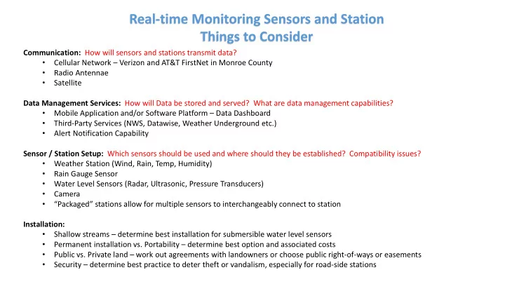
Real-time Monitoring Sensors and Station Things to Consider - - PowerPoint PPT Presentation

real time monitoring sensors and station things to
SMART_READER_LITE
LIVE PREVIEW

Real-time Monitoring Sensors and Station Things to Consider - - PowerPoint PPT Presentation

Real-time Monitoring Sensors and Station Things to Consider Communication: How will sensors and stations transmit data? Cellular Network Verizon and AT&T FirstNet in Monroe County Radio Antennae Satellite Data Management


slide-1
SLIDE 1

Real-time Monitoring Sensors and Station Things to Consider

Communication: How will sensors and stations transmit data?

  • Cellular Network – Verizon and AT&T FirstNet in Monroe County
  • Radio Antennae
  • Satellite

Data Management Services: How will Data be stored and served? What are data management capabilities?

  • Mobile Application and/or Software Platform – Data Dashboard
  • Third-Party Services (NWS, Datawise, Weather Underground etc.)
  • Alert Notification Capability

Sensor / Station Setup: Which sensors should be used and where should they be established? Compatibility issues?

  • Weather Station (Wind, Rain, Temp, Humidity)
  • Rain Gauge Sensor
  • Water Level Sensors (Radar, Ultrasonic, Pressure Transducers)
  • Camera
  • “Packaged” stations allow for multiple sensors to interchangeably connect to station

Installation:

  • Shallow streams – determine best installation for submersible water level sensors
  • Permanent installation vs. Portability – determine best option and associated costs
  • Public vs. Private land – work out agreements with landowners or choose public right-of-ways or easements
  • Security – determine best practice to deter theft or vandalism, especially for road-side stations
slide-2
SLIDE 2

Trempealeau County – Blair Mill Dam

Lake Henry

slide-3
SLIDE 3

Trempealeau County – Monitoring Stations

Communication:

  • Radio Antennae

Data Management Services:

  • Data is stored on in-house servers
  • Data is also used and displayed by NWS
  • Data is transmitted when change occur. If no change, then

data is being transmitted every 12 hours. Sensor / Station Setup:

  • Solar and Battery Powered Station
  • Rain Gauge Sensor – Tipping Bucket
  • Water Level Sensors – Radar and Pressure Transducers
  • Configurable Data Transmitter
slide-4
SLIDE 4

Trempealeau County – Installation

Installation:

  • Third-Party contracted for installation
  • 10-ft aluminum standpipe encasement with security

locked access panel

  • Secured in place by concrete
  • Conduits for water level sensor cables
  • Weatherproof design, but desiccants are also used to

prevent moisture damage to electronic components.

  • Station is covered by wooden box during winter

months to protect station from extreme weather. Pole Mounting Option with Telemetry Cabinet:

  • Offers a height adjustable option
  • More portable option for relocating stations
  • Weatherproof
slide-5
SLIDE 5

Trempealeau County – Whitehall

slide-6
SLIDE 6

RECONYX CAMERA – Hyperfire 2 Cellular IR Camera

Features:

  • Wide Screen – High Definition Images
  • Color by day, Infrared by night
  • Remote viewing capability through

mobile app / software

  • Time-lapse options for capturing

images and managing data

  • External Trigger option is

programmable for water level or water contact sensor

  • Embedded GPS
  • Battery Life of 5,000 images or 1 year
  • External battery option also available

to utilize a 12V power source if needed.

  • Verizon or AT&T 4GLTE compatible
  • Weather durability
  • Price Estimate $660
  • Yearly data plan charges would apply

Photo taken from top of PL-566 dam in La Crosse County. Camera monitoring of trash rack

slide-7
SLIDE 7

Little La Crosse River Watershed – Monitoring Station Planning

Site 1. Town of Leon – Jancing Avenue Crossing Station Setup: Water Level Sensor, Camera Sensor, Road-side Warning Site 2. County Road F Crossing Station Setup: Water Level Sensor, Camera Sensor Site 3. Nebraska Avenue Crossing Station Setup: Water Level Sensor Note: This will also serve as a monitoring site as part of the Fisher and Farmers Partnership Grant Site 4. Market Road Crossing Station Setup: Water Level Sensor Note: Village of Cashton Wastewater Treatment Plant has a rain gauge station. Coordinate data sharing. Site 5. Village of Cashton Station Setup: Rain Gauge Sensor Site 6. St. Mary’s Ridge Station Setup: Rain Gauge Sensor All sites had good coverage on both Verizon and AT&T’s FirstNet (first responders) Networks.

1 2 3 4 5 6

Sparta Village of Cashton Town of Leon

27

slide-8
SLIDE 8

Kickapoo River Watershed – Monitoring Station Planning

Site 1. Village of Norwalk – Railroad St. Crossing Station Setup: Water Level Sensor Site 2. Village of Wilton – St. Hwy 71 Station Setup: Water Level Sensor Note: Establish rain gauge in Village of Wilton Site 3. County Road Z Station Setup: Water level sensor, rain gauge sensor Site 4. County Road T Crossing Station Setup: Water Level Sensor Site 5. Village of Ontario USGS Gage Station – data sharing Site 6. St. Mary’s Ridge Station Setup: Rain Gauge Sensor Site 7. County Road U – Helgren Farm Weather Underground Registered Personal Weather Station Site 8. Nevada Rd. – Firefly Ranch Weather Underground Registered Personal Weather Station

1 7 2 3 4 5 6 8

Village of Norwalk Village of Wilton Village of Ontario

T 131 71 33

All sites had good coverage on both Verizon and AT&T’s FirstNet (first responders) Networks.