
SLIDE 1
PRESENTATION OVERVIEW History of Mudge OCP/LUB vs. Gabriola OCP/LUB - - PowerPoint PPT Presentation
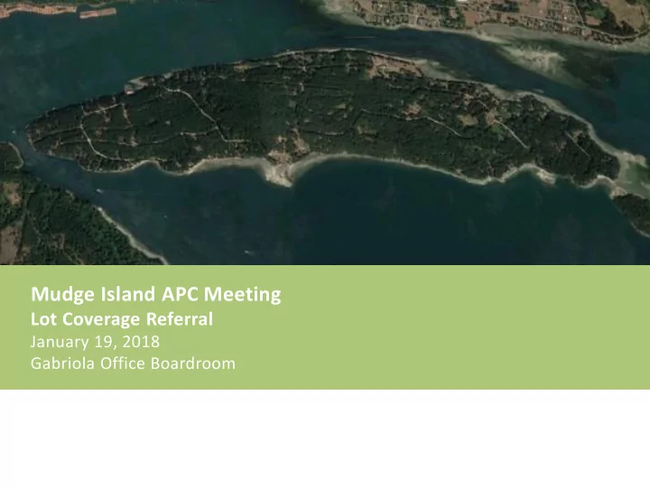
Mudge Island APC Meeting Lot Coverage Referral January 19, 2018 Gabriola Office Boardroom Preserving Island Communities, Culture and Environment Bowen Denman Hornby Gabriola Gambier Lasqueti Mayne North Pender Salt Spring Saturna South
the total area of a lot covered by buildings and structures measured within the outer most walls,
the total area covered by buildings and structures measured within the outer most walls,
any roofed structure used or intended to be used for the shelter, habitation, storage, accommodation, assembly of persons, animals, goods or chattels. a roofed structure, including a mobile home, used or intended to be used for accommodating or sheltering any use or occupancy and:
metres (107.64 square feet);
more than 3.0 metres (9.8 feet) apart are deemed to be one building
any construction and human made land alteration fixed to, supported by, or sunk into land or water; for clarity septic fields, septic tanks, absorption fields and related appurtenances, concrete and asphalt paving or similar surfacing of the land, and retaining structures are considered structures. anything constructed or erected that is fixed to, supported by or sunk into land or water, whether underwater or otherwise, excluding vehicles except for vehicles used as a restaurant where a restaurant is a permitted use, floating vessels, paving for vehicle parking, sidewalks, and sewage absorption fields; for clarity, swimming pools, dugouts, cisterns, above ground septic tanks and detached ground level decks are considered structures