
SLIDE 1
Preparation of Development Plan for Fourteen Upazilas, Pacakage-02 - - PowerPoint PPT Presentation
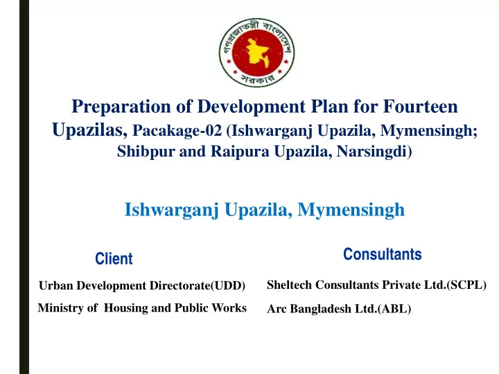
Preparation of Development Plan for Fourteen Upazilas, Pacakage-02 (Ishwarganj Upazila, Mymensingh; Shibpur and Raipura Upazila, Narsingdi) Ishwarganj Upazila, Mymensingh Consultants Client Sheltech Consultants Private Ltd.(SCPL) Urban
total regional employment growth.
the employment growth.
0% 20% 40% 60% 80% 100%
Percentage Activity Sectors
Shift-share Components of Ishwarganj Upazila
National Share (Nj) Industrial Mix (Pj) Local Share (Dj)
Broad Zoning of Upazila Structure Plan
Source: Proposed by Consultants
31948.835 45.74
735.703 1.05
227.471 0.325
455.113 0.65
34.986 0.05
175.008 0.25
1307.682 1.8
30678.603 44.2
3034.942 4.3
1044.97 1.7
69643.31 100
Broad Zoning of Urban Structure Plan
Landuse Category Total Area (Acre) Percent 1
Government Services 42.668 0.06
2
Agriculture 49501.474 71.08
3
Circulation Network 742.781 1.07
4
Commercial Activity 225.369 0.32
5
Community Service 6.195 0.01
6
Educational & Research 128.656 0.18
7
Health Facilities 9.367 0.01
8
Industrial 23.249 0.03
9
Mixed Use 44.071 0.06
10
Non-Govenrment 3.108 0.00
11
Open Space 27.751 0.04
12
Recreational Facilities 5.106 0.01
13
Religious 59.895 0.09
14
Residential 15059.454 21.62
15
Vacant Land 37.732 0.05
16
Water Body 3726.124 5.35
Total
69643 100.00
Landuse Category Hierarchy of Roads Length (km.) Circulation Network NationalHighway(6 lane) 16.70 Primary Road 70.24 Secondary Road 264.33 Tertiary/Local Road 757.18 Total 1108.45
Hierarchy of Roads Length (km.) Regional Road 3.65 Primary Road 5.06 Secondary Road 27.42 Tertiary/Local Road 54.71 Walkway 0.91 Total 91.75
Proposed Facility Union Area (Acre) Community Clinic Mogtola 0.83 Jatia 0.82 Sohagi 0.83 Graveyard Maijbhag 3.81 High School Ishwarganj 1.27 Hospital Atharobari 3.68 Maijbhag 3.60 Park Atharobari 2.44 Passenger Shed Mogtola 0.09 Proposed Industrial Zone Rajibpur
Uchakhila
Recreational Zone Tarundia 26.85 Rural Core Housing Atharobari 29.43 Sarisa 29.43 Shopping Complex Atharobari 0.63 Village Park Sarisa 2.07 Uchakhila 5.77 Vocational Training Institute Mogtola 1.86 Waste Disposal Site Atharobari 4.03 Tarundia 13.37 Waste Transfer Station Borohit 0.49 Uchakhila 0.64
Policy 4: Employment Generation through Development of Potential Sectors. Strategies
Ishwarganj Upazila.
Electricity supply etc.)
management Policy 5: Give Emphasize on Agricultural Production and expanding the agri-market Strategies:
agricultural land.
Policy 6: Give emphasize on expanding source of income Strategies:
Upazila.
Policy 7: Identify, promote and protect historical and culturally sensitive places as tourism side. Strategies:
Policy 8: Develop human resource training under Ministry of Youth Development
Policy 9: Developed basic utility service facilities within all over the Upazila.
Policy 10: Strengthening and expansion of existing major institutions and educational facilities
be made
Issue 1 Densification of Existing Urban Areas Policy 01: Density Control Policy 02: Densification of Residential Areas through People’s Participation Policy 03: Ensure best possible use of land and to stop Issue 2 Creation of Employment Opportunities Policy-01: Encourage investment in business Policy 02: Creation of storage facilities and cold storage Policy-03: Reduce cost of doing business Policy 04: Support SME for creation of jobs and economic upliftment Policy 05: Employment Generation through Development of Potential Sectors Issue 3 Traffic and Transportation Policy-01: Maintenance or repairing of roads Policy-02: Develop efficient inter Upazila communication facilities Policy-03: Maintenance or repairing of roads Policy-04: Development of missing linkages Issue 4 River Erosion Control and Drainage Policy 01: Drainage network plan in response of water logging problems
Issue 6 Utility Services Policy-01: Facilitating access for all citizens to basic level of services in water supply and sanitation Policy-02: Facilitating access for all citizens to electricity supply Issue 7 Economic Development Policy-01 SME Industries need to be developed to flourish the industrial sector development Policy-02: Creation of Training facilities at the grassroots level Issue 8 Community Facilities Policy-01: Ensuring community level recreational facilities like open space, park, and playground etc. Policy-02: Improvement of law and order services for all citizens Policy-03: Creation of trained grassroots level family planning workers for motivational works Issue 9 Housing and Resettlement Zone Development Policy-01: Making provision of affordable housing for the low income people Policy-02: Establishing resettlement zone for erosion affected people Policy-03: Continuous monitoring of land and housing market Issue10 Environmental Issues Policy-01: Preservation of all natural resources: land, water etc. Policy-02: Identifying the erosion risk zones Policy-03: Ensuring safe and hygienic sanitation for all Policy-04: Pollution Control