
SLIDE 1
7/31/2013 1
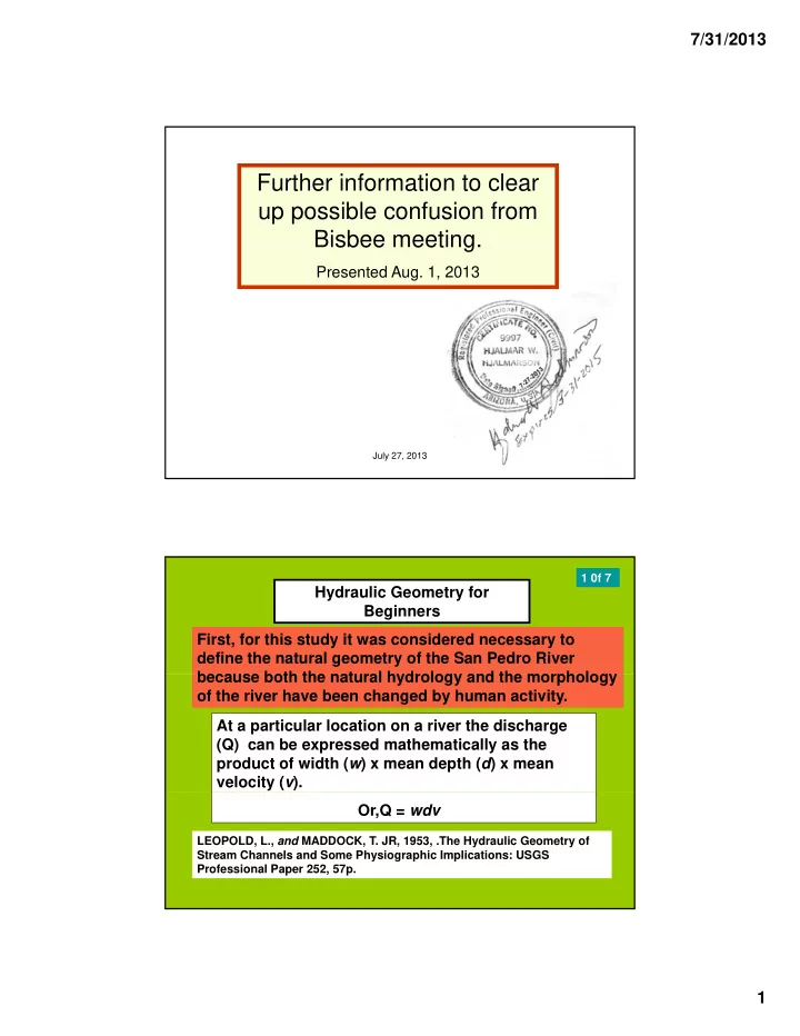
Further information to clear up possible confusion from Bisbee meeting Bisbee meeting.
Presented Aug. 1, 2013
July 27, 2013 1
Hydraulic Geometry for Beginners First, for this study it was considered necessary to define the natural geometry of the San Pedro River beca se both the nat ral h drolog and the morpholog
1 0f 7
At a particular location on a river the discharge (Q) can be expressed mathematically as the product of width (w) x mean depth (d) x mean velocity (v). because both the natural hydrology and the morphology
- f the river have been changed by human activity.
LEOPOLD, L., and MADDOCK, T. JR, 1953, .The Hydraulic Geometry of Stream Channels and Some Physiographic Implications: USGS Professional Paper 252, 57p.