
SLIDE 1
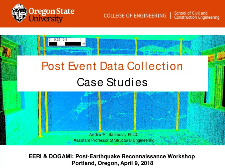
Post E vent Data Collection Case Studies
Andre R. Barbosa, Ph.D. Assistant Professor of Structural Engineering
EERI & DOGAMI: Post-Earthquake Reconnaissance Workshop Portland, Oregon, April 9, 2018
Post E vent Data Collection Case Studies Andre R. Barbosa, Ph.D. - - PowerPoint PPT Presentation
Post E vent Data Collection Case Studies Andre R. Barbosa, Ph.D. Assistant Professor of Structural Engineering EERI & DOGAMI: Post-Earthquake Reconnaissance Workshop Portland, Oregon, April 9, 2018 Nepal 2015 Italy 2015 Napa 2014 China
Andre R. Barbosa, Ph.D. Assistant Professor of Structural Engineering
EERI & DOGAMI: Post-Earthquake Reconnaissance Workshop Portland, Oregon, April 9, 2018
Andre Barbosa
Michael Olsen
Chile 2010 MO NZ 2011, NZ 2017 MO Napa 2014 AB,EF, MO Italy 2015 EF Japan 2011 MO China 2014 HW Nepal 2015 AB, MO Mexico 2017 AB,EF, HW Haizhong Wang
Erica Fischer
Michael Olsen Michael.Olsen@oregonstate.edu
2016 Kaikoura E arthquake
Geotechnical Coastal Structural Transportation Michael Olsen
collection (reduce biases; increase certainty)
new analysis and scientific approaches that consider the 3D\ 4D nature of these hazards and the systems affected by them
temporal scales
Damaged Train Culvert, New Zealand, GEER 2016
Michael Olsen
Geotechnical Structural
spreading
volume)
failures
detection
displacements\ deflections\ rotations
analysis (orientation, location, distribution, width (larger cracks), etc.)
quantification
failure analysis
interactions
without safety concerns and logistics -> Virtual Time Capsule
used in current models
to relatively few traditional measurements and observations
Michael Olsen
Andre Barbosa Andre.Barbosa@oregonstate.edu Erica Fischer erica.fischer@oregonstate.edu
GREEN: 10,140 YELLOW: 3,814 RED: 3,229 PINK: 1,109
https://plataforma.cdmx.gob.mx/
– “Low Risk”: No Restriction
– “Serious Damage”/”Uncertain Risk”: Restricted access
– “High Risk”: No access
Credit: N. Trujillo Reid Middleton
Mexico City, 2017 Erica Fischer and Erik Bishop
https://doi.org/10.1193/010817EQS009M Nepal, 2015
1 4 7 9 3 2 5 3 9 19 15 9 6 11 13 19 15 10 2 6 6 3 5 1 D0 D1 D2 D3 D4 D5
Number of Biuildings Damage Level
2-story 3-story 4-story 5-story Barbosa and Olsen https://doi.org/10.1193/010817EQS009M
UAV flight plan for damage assessment
Nepal, 2015 Dan Gillins, Michael Olsen, Andre Barbosa
Correlation of UAV based damage assessment with visual damage assessment
1600 overlapping photos were taken with Sony A5000 and Go-Pro Hero cameras
mounted on multi-rotor UAVs. The photos were processed in Structure-from- Motion software to output 3D models and ortho-rectified aerial imagery. These
control points in the study area by a static differential GPS survey (Dan Gillins)
Napa, 2014
Cripple wall collapse Cripple wall, and porch roof collapsed (Photo: B. Mathieson and J. Maffei)
Napa, 2014
Retrofit Success: Cripple wall and sliding failures are preventable with inexpensive retrofits (Photos: S. Pryor)
cripple wall did not fail
to roof and/or walls, but also some instances where some ties were present. Minimal retrofit with wall-to-floor ties Brick masonry, no retrofit
Napa, 2014
Photo: Marko Schotanus
Clearly retrofitted.
Photo: David McCormick
Nepal, 2015 Andre Barbosa, Michael Olsen
Nepal, 2015 Post-earthquake Dynamic Characterization of Frequencies, Mode Shapes, and Damping
Nepal, 2015
Nepal, 2015 https://www.frontiersin.org/articles/10.3389/fbuil.2017.00011/full https://doi.org/10.1193/051017EQS087M
Andre Barbosa Andre.Barbosa@oregonstate.edu Erica Fischer erica.fischer@oregonstate.edu Andre Barbosa Andre.Barbosa@oregonstate.edu Haizhong Wang Haizhong.Wang@oregonstate.edu Michael Olsen Andre.Barbosa@oregonstate.edu Erica Fischer erica.fischer@oregonstate.edu
Performance of engineered lifeline infrastructure Business continuity after the earthquake Performance of community after the earthquake Performance
facilities after an earthquake Mexico, 2017
Based on preliminary data (by Erica Fischer)
Erica Fischer and Andre Barbosa
NCHRP Report 833
Michael Olsen (PI), Andre Barbosa; Marc Veletsos; Zhiqiang Chen; MPN Components; Advanced Infrastructure Design
8/10 (Light Blue (NEW)) — HMSC-REU/OMSI After Dark 2 7/13 (Violet) — HMSC-REU After Dark 1 6/26 (Turquoise) — CCE SURF students 6/16 (Brown) — HMSC evacuation 5/11 (Orange) — OPRD, SBSP 2/18 (Magenta) — First try ABM (Yellow Triangle)
Haizhong Wang
Haizhong Wang
Email VERT Co-Chairs: Erica Fischer erica.fischer@oregonstate.edu Manny Hakhameneshi manny.hakha@gmail.com
Nepal (2015) Virtual earthquake clearinghouse blogging Post-processing photos and data from field Ecuador (2016) Virtual earthquake clearinghouse blogging Post-processing photos and data from field Assisting Exponent in mini-research project Taiwan (2016) Virtual earthquake clearinghouse blogging Post-processing photos and data from field Italy (2016 & 2017) Virtual earthquake clearinghouse blogging Mexico (Puebla-Morelos & Chiapas) (2017) Virtual earthquake clearinghouse blogging Topics: Hospitals Schools Infrastructure Geotechnical issues Seismicity Emergency Response … and more!