
SLIDE 1
Part 2: Priority Groundwater Data and Research Needs— KGS Perspective
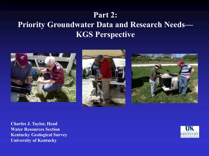
Charles J. Taylor, Head Water Resources Section Kentucky Geological Survey University of Kentucky
Part 2: Priority Groundwater Data and Research Needs KGS - - PowerPoint PPT Presentation
Part 2: Priority Groundwater Data and Research Needs KGS Perspective Charles J. Taylor, Head Water Resources Section Kentucky Geological Survey University of Kentucky KGS Role in Groundwater Monitoring and Studies Mission: We are a
Charles J. Taylor, Head Water Resources Section Kentucky Geological Survey University of Kentucky
http://www.uky.edu/KGS/water/index.htm http://kgs.uky.edu/kgsweb/DataSearching/watersearch.asp
mandate (KRS 151:035) and maintained by KGS.
records.
records.
quality analyses.
including KDOW, USGS, and EPA Storet.
Kentucky certified water-well driller records from KDOW.
Monitoring a fractured- karstic limestone aquifer at Kentucky Horse Park, Scott Co.
Clockwise from upper left:
point (datum) for pressure transducer.
transducer data cable length.
and cable into well.
transducer and telemetry equipment.
Map Courtesy of Rob Blair, KDOW, 2014
KDOW-ITAC Periodic Groundwater-Quality Sampling Sites USGS National Climate-Response Network Well
Groundwater Monitoring Sites Maintained By Other Agencies: Continuously-Monitored Observation Well (Data manually downloaded at 6-8 week intervals). Continuously-Monitored Observation Well (Data downloaded daily). Existing Well Being Evaluated for KGON. Priority Area for New Observation Well.
KGS-MSU Well Cluster KGS-Hickman Well Cluster
KGS Drilled and Instrumented Two New Observation Well Clusters, and established a Third Observation Well at Benton. Collecting Natural Gamma Logs, and other Geophysical Data, to Improve Identification of Subsurface Aquifer Boundaries and Confining Units. Collected Additional GWL Measurements and Water Well Data, and Conducted Specific Capacity Tests of Irrigation Wells at Clarks River Wildlife Refuge near Benton.
USGS Natl. Climate Network Well
Upper Claiborne aquifer Middle Claiborne confining unit Middle Claiborne aquifer Clay Sand Clay Sand Lithology Hydrogeologic unit Soil/loess Silt/clay Unnamed unit Hickman Co. #1 Gamma-ray log Sand Clay
near Clinton, KY
~ 1 mi.
Clay Gravel Sand Lower Wilcox aquifer Clay Midway confining unit Sand McNairy aquifer Lithology Hydrogeologic unit Soil/loess Silt/clay Unnamed units MSU #1 Gamma-ray log
at Murray, Calloway Co., KY
Baseline Monitoring Period of 5 years minimum recommended
Surveillance (Synoptic) Sites Trend Sites (Continuous sites) Special Studies
For single or periodic measurement
quality at many locations (Snapshot-in- Time) data to complement Trend Sites data. For continuous tracking of temporal changes (short and long term) at specially targeted locations. Subnetworks recommended for unstressed and impacted aquifers. Targeted groundwater investigations conducted to better map and quantify aquifer properties.
Contributors: KDOW, USGS, other UK Departments (Earth and Environmental Sciences, Agriculture) and Ky Colleges
Modified from Lloyd and Lyke, 1995
Confining Unit identified by distinctive “kick-out” in log signature.
These Questions May Have Important Implications for Groundwater Monitoring and Groundwater and Surface Water Resources Management in the Area.
Surficial deposits <0.93MI> <0.69MI> <1.13MI> <1.09MI> <1.02MI> <1.26MI> <1.04MI> <0.67MI> Subsea Depth(ft) 0 - 400 - 200 - 100 - 300 - Land surface Upper Claiborne aquifer Middle Claiborne confining unit Middle Claiborne aquifer
FL-116 FL-75 Fulton Hickman
15,000 ft
15,000 ft
Campton Greenville Salyersville Evarts Isom Vest Jackson Oakdale Creekville Hitchens
Aquifer Tests Performed by Kentucky Geological Survey
Princeton Elizabethtown Benton
For More Information Contact: Chuck Taylor Water Resources Section Kentucky Geological Survey University of Kentucky Email: charles.taylor@uky.edu Phone: 859-323-0523