
SLIDE 1
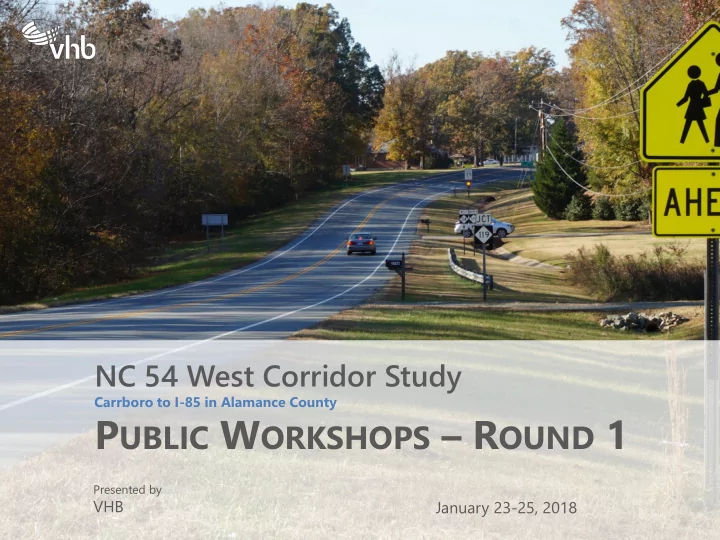
NC 54 West Corridor Study
Carrboro to I-85 in Alamance County
PUBLIC WORKSHOPS – ROUND 1
Presented by
VHB January 23-25, 2018
P UBLIC W ORKSHOPS R OUND 1 Presented by VHB January 23-25, 2018 - - PowerPoint PPT Presentation
NC 54 West Corridor Study Carrboro to I-85 in Alamance County P UBLIC W ORKSHOPS R OUND 1 Presented by VHB January 23-25, 2018 NC 54 Study Overview Analyze existing & future transportation & land use conditions along this 20+
Carrboro to I-85 in Alamance County
Presented by
VHB January 23-25, 2018
– Safety – Multimodal options – Community character & environmental preservation – Economic viability
– Low cost, low impact, easily implemented near-term solutions – Longer-term infrastructure improvements – Supportive land uses & development policies
– Alamance County Planning – Town of Carrboro – Orange County Planning – Burlington-Graham Metropolitan Planning Organization (BGMPO) – Triangle Area Rural Planning Organization (TARPO)
– Public safety – Public schools – UNC-CH – Others? – NCDOT Transportation Planning Division – Bicycle & pedestrian planners/advocates – Transit providers/planners – Economic development agencies
All modes of transportation, + land use
Collect & Analyze Data Stakeholder Outreach Public Workshop #1 Develop & Test Alternatives Finalize Plans & Priorities Public Workshop #2 Final Presentation
Public Workshop #1 Public Workshop #2 Final Presentation Background Alternatives Recommendations Feedback Concerns Suggestions Feedback
http://www.nc54west.com
Tuesday, January 23, 2018 4:30–6:30PM Rigmor House Event Center 5501 NC Hwy 54, Chapel Hill, NC
Wednesday, January 24, 2018 6:30–8:30PM Graham Civic Center 503 McGee Street, Graham, NC
Thursday, January 25, 2018 6:30–8:30PM Carrboro Town Hall 301 W. Main Street, Carrboro, NC
– Concerns – Suggestions – New information – Questions
– Where and why do you travel on NC 54? – What do you like, and what would you change? – Corridor base map and major intersection details – Natural and cultural environments; demographics – Safety – Mobility, access, and infrastructure (driving, walking, biking, transit)
– Write it down – Tell to staff – Go online
Transportation
Alamance County Orange County 50 50 55 55 45 35
1 1 2 2 3 3 4 4 5 5 6 6 7 7 8 8
WEST EAST
NCDOT Count Program
Alamance County Orange County
Average Annual Daily Traffic (AADT) - 2015
15,000 6,200 9,000 15,000 10,000 18,000
Alamance County Orange County
Average Annual Daily Traffic (AADT) - 2015 Average Annual Daily Traffic (AADT) - 2017
+17% +11% +7%
Bicycles Counted Pedestrians Counted
6,900 16,000 21,100
Alamance County Orange County
Average Annual Daily Traffic (AADT) - 2015 Average Annual Daily Traffic (AADT) - 2017
+104% +94% +86%
Average Annual Daily Traffic (AADT) – 2045 (preliminary)
36,700 12,000 27,900
A-C D E-F LOS*
Alamance County Orange County
– Poor LOS is due to high Percent-Time-Spent-Following – More passing zones? Additional through-lanes?
– Bicycle LOS is based on comfort & safety, rather than congestion & delay
*Worst case from AM & PM peaks
LOS AM PM Count Bikes Peds B B 2 3 D* C 2 A A 4 3 SB-F SB-F 6 SB-E SB-F 11 1 SB-E SB-D 9 B* A* 24 D* C* 21 48
Alamance County Orange County
A-C D E-F *Potential queuing problems LOS^
^Worst case from AM & PM peaks
Bicycles
Environment
Economic Development Land Use Plan Real Estate Market Analysis
Demographics Economics Market Demand Existing Supply
At A Glance – Alamance County
At A Glance – Orange County
Economic
Input from staff, stakeholders, and website
NC 54
From FHWA Small Town & Rural Multimodal Networks
NC 54
From FHWA Small Town & Rural Multimodal Networks
NC 54
At signalized intersections only
From FHWA Small Town & Rural Multimodal Networks
NC 54
From FHWA Small Town & Rural Multimodal Networks
NC 54
From FHWA Small Town & Rural Multimodal Networks
NC 54
From FHWA Small Town & Rural Multimodal Networks
– Rigmor House – Tues 1/23 – Graham Civic Center– Wed 1/24 – Carrboro Town Hall– Thurs 1/25
Public Workshop #1 Public Workshop #2 Final Presentation Background Alternatives Recommendations Feedback Concerns Suggestions Feedback
Collect & Analyze Data Stakeholder Outreach Public Workshop #1 Develop & Test Alternatives Finalize Plans & Priorities Public Workshop #2 Final Presentation