Outlines Introduction Roles and Responsibility of Department of - - PDF document

outlines
SMART_READER_LITE
LIVE PREVIEW

Outlines Introduction Roles and Responsibility of Department of - - PDF document

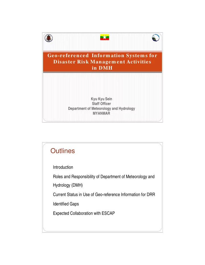
Geo-referenced Inform ation System s for Disaster Risk Managem ent Activities in DMH Kyu Kyu Sein Staff Officer Department of Meteorology and Hydrology MYANMAR Outlines Introduction Roles and Responsibility of Department of


slide-1
SLIDE 1

Kyu Kyu Sein Staff Officer Department of Meteorology and Hydrology MYANMAR

Geo-referenced Inform ation System s for Disaster Risk Managem ent Activities in DMH

Outlines

Introduction Roles and Responsibility of Department of Meteorology and

Hydrology (DMH)

Current Status in Use of Geo-reference Information for DRR Identified Gaps Expected Collaboration with ESCAP

slide-2
SLIDE 2

Meteorological, Geological and Hydrological Hazard in MYANMAR

  • Tropical storms
  • Strong winds
  • Heavy rains
  • Storm surges
  • Continuous rain spell
  • Tornadoes
  • Thunderstorms
  • Continuous dry spell
  • Heat and cold waves
  • Earthquake
  • Land slide
  • Tsunami
  • River floods
  • Flash floods
  • Inundations
  • Very low River water

levels

  • Very low ground

water levels

  • Heavy rain spells
  • Droughts

Introduction

Meteorological, Geological and Hydrological Hazard in MYANMAR

Introduction

slide-3
SLIDE 3

Strong Earthquake in Myanmar

Meteorological, Geological and Hydrological Hazard in MYANMAR

Introduction

Tarlay Tarlay Earthquake(2011) Earthquake(2011)

Magnitude 7.0

slide-4
SLIDE 4

Thabeikkyin Thabeikkyin Earthquake in M yanmar (2012) Earthquake in M yanmar (2012)

Magnitude 6.8

Roles and Responsibility of DMH

Meteorological Services in 1937 Agro-meteorological Services in 1970 Hydrological Services in 1964 Seismological and Earthquake activities in

1961

Acid Deposition Monitoring in 2003 Issued Information, Forecasts and Warning Provide to decision makers, policy makers Early Warning System is main

responsibility of DMH

slide-5
SLIDE 5

Roles and Responsibility of DMH

Meteorological Stations Agro-meteorological Stations Hydrological Stations Seismological Stations

Roles and Responsibility of DMH

slide-6
SLIDE 6

GPS Stations for Fault Line Analysis GPS installed on 2012

§ Hakha § Kani § Shwebo § Sint Gu

GPS installed on 2011

§ Gyophyu § Ingale § Waow § Kyaikhteeyo

Roles and Responsibility of DMH

Mawlamyaing Sittwe

Sea Level Gauge (for Tsunami Warning) installed on 2006 (donated by UNESCO-IOC)

Roles and Responsibility of DMH

§Tsunami Drill cooperate with IOC and RTSP’s (Regional Tsunami Services Provider for Indian Ocean (India, Austrian, Indonesia) §Issue Tsunami Warning for Indian Ocean every 2 year for Regional Drill §Issue Tsunami Warning on Disaster day (14, October) every year for National Plan

slide-7
SLIDE 7

Meteorological Stations

  • 63

Meteorological & Hydrological Stations

  • 39

Hydrological

  • 30

Pilot balloon

  • 1

Agro-meteorological

  • 17

Satellite receiving (MTSAT, FY-Cast)

  • 3

Aviation Met. Offices

  • 6

Seismological

  • 14

GPS Station (Manual)

  • 8

Roles and Responsibility of DMH

Not yet installed or set up any Automatic Stations such as; (automatic Rain gauge, Flood monitoring and Warning System )

Roles and Responsibility of DMH

§ MTSAT Data Receiving System (JICA) § FY-Cast Receiving System (CMA)

slide-8
SLIDE 8

Simulation using WRF Model

Roles and Responsibility of DMH

For Daily Water Level Forecast

§ River Stage Correlation Method § Empirical Model (based on single and multiple regression

analysis)

§ Integrated Flood Analysis System (IFAS)

For Seasonal Water Level Forecast

§ Based on flood characteristic occurred in Analogue years § Based on seasonal weather forecast § Based on comparison of current flow with the individual

hydrograph for the last (10) years

§ Based on the average flow of the last (10) years § Based on the Flood frequency analysis

Roles and Responsibility of DMH

slide-9
SLIDE 9

Roles and Responsibility of DMH

Warning, Bulletin, Forecast and News

§ Cyclone Warning § Storm Surge Warning § Flood Warning § Untimely Rainfall Warning § Fog Warning § Heavy Rain Warning § Aviation Weather Warning § Low flow water level § Tsunami Warning § Port Warning Agro-meteorological Bulletin Bay Bulletin Flood Bulletin Special Weather Bulletin v Daily Weather/Water Level v 10 Days Weather/Flood v Monthly Weather/Flood v Seasonal Weather/River Flood

Forecast

v Aviation Weather Forecast v Marine Weather Forecast v Special Forecast

Earthquake News Rainfall / Temperature Records Cyclone News

Roles and Responsibility of DMH

DMH has small own studio to broadcast daily weather forecast, severe weather distur- bances passing through MRTV, MRTV-3, MRTV- 4, MWD and various FM radios.

Own Studio in DMH at NPT

slide-10
SLIDE 10

Roles and Responsibility of DMH Roles and Responsibility of DMH

Normal Situation

slide-11
SLIDE 11

Roles and Responsibility of DMH

DMH set up Remote Sensing and Geographic

Information System (GIS) Section on September, 2012.

River network, Drainage Density, Catchment Area Generating Flood Hazard Map using model and field

survey

Establishing value added products using open source

software such as JOSM, Open Street Map, QGIS

Extract Flood affected area using microwave satellite

images (before and during flood)

Convert Excel Format data, Jpeg data to the Geo-

referenced Data for the geo-data base

Current Status in Use of Geo-reference Information for DRR

slide-12
SLIDE 12

Flood Hazard Map for Zalun and Seiktha of Ayeyarwady Region

Cooperation between JAXA, AIT (GIC), DMH

RIVER FLOOD ANALYSIS for the Homalin City, MYANMAR

Cooperation between JAXA, AIT (GIC), DMH

slide-13
SLIDE 13

Establish a database of value added products and Flood maps for Hpa-an, Mandalay and Hinzada in MYANMAR

  • To show how value added products

can be generated by combining information from the web and ground

  • To establish a database of value

added products

  • To generate Flood maps by using

Microwave Satellite images

Cooperation between Sentinel ASIA (JAXA), AIT (GIC), DMH

Establish a database of value added products

Cooperation between Sentinel ASIA (JAXA), AIT (GIC), DMH

slide-14
SLIDE 14

Overlay with Building from JOSM

Flood Maps using Microwave Satellite Images (Hpa-an, MYANMAR)

Cooperation between Sentinel ASIA (JAXA), AIT (GIC), DMH

AVNIR2 images to extract flood in 2006 (Mandalay, MYANMAR)

100yr Return Period Flood

Flood Maps using Satellite Images (Mandalay,MYANMAR)

Cooperation between Sentinel ASIA (JAXA), AIT (GIC),DMH AVNIR2 images HEC-RAS Model SAR images

slide-15
SLIDE 15

Preparedness Phase Preparedness Phase Emergency Response

Methodology for the Flood Disaster Risk Management Seismic Risk Assessment for Mandalay City in MYANMAR

Cooperation between Norwegian Ministry

  • f Foreign Affairs,

ADPC, DMH

slide-16
SLIDE 16

3 Radar Stations (JICA) 30 Automatic Weather Stations (DMH Budget) 5 CCTV Flood Monitoring System (DMH Budget) Agro-Ecological Zone Map for Myanmar (ESCAP,

RIMES)

Flood Risk Assessment for Hpa-an City (UNDP,

UNHABITAT)

Ongoing Project

Identified Gaps

GIS base CCTV Monitoring and Controlling System for

the flood and other weather data

High resolution Satellite Images and Good DEM Lack in facilitating data sharing among the organization

and public sector

Incompatibility and non-standardization of data collected

by different organizations.

  • National wide risk assessment based on space and

GIS technology

Lack of infrastructure and man power Adequate facilities to promote current efficiency Learning and knowledge exchange, Technology support

including hardware and software, Capacity Building, etc.

slide-17
SLIDE 17

Expected Collaboration with ESCAP

Facilitate for web based system for early warning as

well data base management system for share data and information among the national and regional agencies

Upgrade manual to GIS base CCTV flood

monitoring system for some stations

Establishment of GIS and Remote sensing

Laboratory in Department of Meteorology and Hydrology(DMH)

Enhancement of Capacity Building of GIS and RS

division of DMH (Short Term/ Long Term Fellowship)

THANK THANK YO YOU U FOR FOR YOU YOUR KIND A R KIND ATTENTION! TTENTION! THANK THANK YO YOU U FOR FOR YOU YOUR KIND A R KIND ATTENTION! TTENTION!