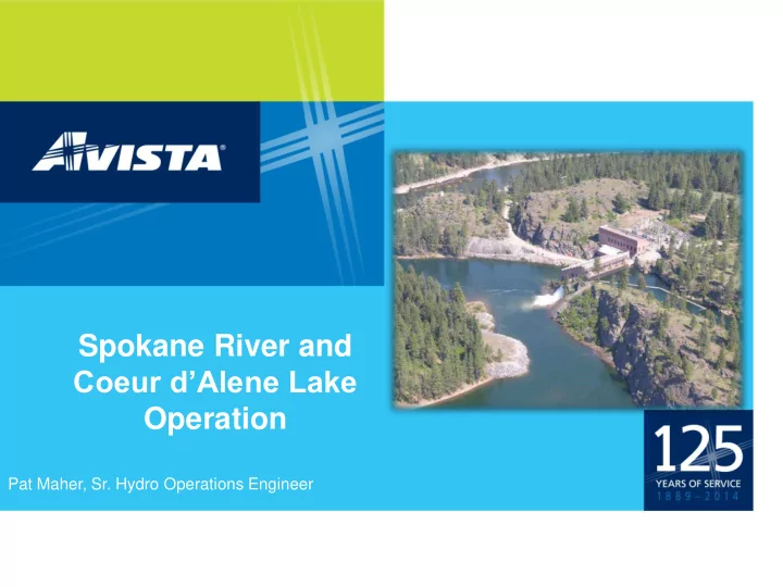

Spokane River and Coeur d’Alene Lake Operation Pat Maher, Sr. Hydro Operations Engineer
3 Rivers Flow into the Lake, 1 River Flows Out
Post Falls Dam is 9 Miles Down The Spokane River From the Coeur d’Alene Lake Outlet
Coeur d’Alene is a Natural Lake, not a Reservoir Spokane River Cross Section and Channel Depth At Summer Elevation (2128 ft) Distance (mi) 0.0 3.0 6.0 9.0 0 Coeur d' Alene Spokane River Harbor Island 10 Lake 20 30 Cedars Restauran t 40 Depth (ft) 50 120 ft 60 Deep 70 80 90 100 110 120 130 • Outlet channel capacity at summer level = 17,500 CFS • Outlet channel capacity at 2131.5 (average high) = 28,500 CFS • Outlet channel capacity at 2122.5 (average low) = 3,950 CFS • Outlet channel capacity at 2121.3 (current elevation) = 2000 CFS
Spokane River Outlet Tubbs Hill USGS CDA Lake Elevation Gage
By Ordinance, Boating Below Spokane St. Bridge Prohibited Whenever Spill Gates are Open
Post Falls HED McGuire USGS Flow Gage
River Operations Overview Summer – Avista holds the level of CDA Lake at 2128 for recreation and public use. Because the dam spill gates are closed, the river above the dam looks like a lake. Fall – The Tuesday after labor day Avista starts to let water out of CDA Lake, drawing the lake down about 1 ½ feet per month until the river is in a natural state. Winter - At some point in December or January the outlet restriction at the river outlet becomes the determining factor of how much water will flow down the Spokane River. From then until we close the spill gates in June, the Post Falls dam has little or no effect on river flows or lake levels. Spring- The Spokane river behaves like a river, not a lake, above the dam, until the snow has melted and we start to close spill gates. If the river flows are very high, river elevations will increase.
SPOKANE = 97% CLARK FORK = 99%
SPOKANE = 52% CLARK FORK = 74%
Spokane Weather For April 2016
Graph showing Max Temperatures for May 2, At Sites over 6000 feet. 66 Degrees will melt some Snow!
Idaho South of Mont. Lake Border Pend Oreille Upper Mount St. Joe Spokane River
Recommend
More recommend