On Location at Stanford University by Per Enge (with the help of - - PowerPoint PPT Presentation

on location at stanford university
SMART_READER_LITE
LIVE PREVIEW

On Location at Stanford University by Per Enge (with the help of - - PowerPoint PPT Presentation

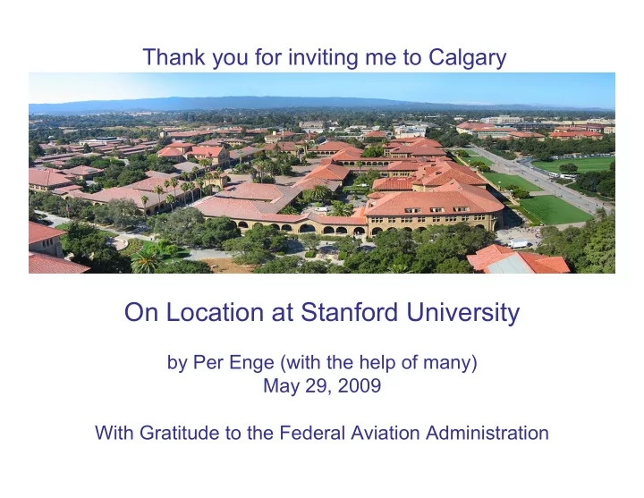
Thank you for inviting me to Calgary On Location at Stanford University by Per Enge (with the help of many) May 29, 2009 With Gratitude to the Federal Aviation Administration from Misra and Enge, 2006 2 GPS + Galileo + Compass + GLONASS 134


slide-1
SLIDE 1

On Location at Stanford University

by Per Enge (with the help of many) May 29, 2009 With Gratitude to the Federal Aviation Administration

Thank you for inviting me to Calgary

slide-2
SLIDE 2

2

from Misra and Enge, 2006

slide-3
SLIDE 3

3

GPS + Galileo + Compass + GLONASS 134 Navigation Satellites?

Frank van Diggelen’s new book from Artech

slide-4
SLIDE 4

4

Future GNSS Signals

slide-5
SLIDE 5

5

April 10, 2009 at 04:58 Pacific Time

from Table Mountain, Colorado

slide-6
SLIDE 6

6

Outline

  • Approach & Landing of Civil Aircraft
  • Gravimetry Using Cold Atoms
  • Geo-security
slide-7
SLIDE 7

7

Approach & Landing

Free of ionospheric influence. Robust against RFI (scheduled, accidental or malevolent). Worldwide approach capability with no airport equipment. Worldwide landing capability in all weather.

slide-8
SLIDE 8

8

Safety: Faults & “Rare Normal” Events

October 1993 modulation fault 40 notable iono events during the last solar peak RFI events:

  • San Diego
  • St Louis
  • Santa Cruz

Clock “runoffs” 7/28/01, 5/26/03 6/11/03 & more April 10, 2007 ephemeris fault & 24 smaller faults

  • ver the last 5 years
slide-9
SLIDE 9

9

LPV-200 Coverage on February 27, 2009 (from the FAATC live feed)

slide-10
SLIDE 10

10

Near Term GBAS Installations (from Carlos Rodriguez to RTCA)

  • ver 1000 aircraft orders include GBAS avionics
slide-11
SLIDE 11

11

Truncation of the Error Tail

5 10 15 20 25 30 35 40 45 0.02 0.04 0.06 0.08 0.1 0.12 0.14

User Vertical Position Error (meters) PDF

ground screening (Cat I) air & ground screening (Cat I/II/III) dual freq. GBAS (Cat I/II/III)

slide-12
SLIDE 12

12

PRN 1 Bias on L1

slide-13
SLIDE 13

13

Evolution of GNSS-Based Safety

L1 Only

  • RAIM
  • SBAS
  • GBAS

Dual freq. SBAS & GBAS

  • 24 SVs Minimum
  • 10-4 from GNSS

Dual freq. ARAIM

  • Open service
  • GPS: 30+ Slots
  • Multi-constellation
  • 10-4 from GNSS

2020 2030 2010 GNSS Integrity Within

  • GPS IIIC (1st 14) ++, or
  • GNSS Safety of Life
  • 24 SVs (GPS alone)
  • 10-7 from GNSS

Civil security (DoS & spoofing)

slide-14
SLIDE 14

14

Dual Frequency WAAS Convert Orange to Green

slide-15
SLIDE 15

15

System Definition ARAIM for 2020

VPL

GPS Compass Galileo GLONASS

VPL VPL VPL

slide-16
SLIDE 16

16

Trade Between Constellation Strength & Multiplicity of Ground Monitors (from Juan Blanch)

ARAIM 99.5% coverage 24-1 24 27-1 27 30-1 30 No Real Time Monitoring 3.7% 27.5% 9.56% 87.9% 79.8% 99.6% 8 stations 50.8% 88.3% 71.5% 96.7% 98.7% 100% 38 stations 71.2% 98.9% 90.0% 100% 99.9% 100% Civil monitoring is a trade between:

  • Constellation size
  • Robustness to SV failures
  • Network size (URA bounding)
slide-17
SLIDE 17

17

Stanford Atom-based Inertial Sensors 5 m/hour Versus 500 m/hour (from Stanford’s Mark Kasevich) Cesium atoms are proof masses. Pulses of laser light measure relative motion between atoms and case.

slide-18
SLIDE 18

18

Mobile Gravity Gradient Survey (from Mark Kasevich)

RTK from Trimble

slide-19
SLIDE 19

19

Gravity Gradient Survey of End Station III (from Mark Kasevich & Jeff Fixler)

slide-20
SLIDE 20

20

Gravity Meter (from Helicon Publishing)

slide-21
SLIDE 21

21

Airborne Gravimetry (from M. Dransfield, FUGRO)

Ore deposits

slide-22
SLIDE 22

22

Airborne Gravimetry

  • Atom gravimeter to measure gravity field at 10-6 level
  • High performance GPS or laser to decouple platform motion
  • Overfly region of interest
  • Water table monitoring
  • Homeland security
  • Resource discovery & management (oil/mineral)
slide-23
SLIDE 23

23

Reference System Requirements

  • Blimp dynamics

– equivalence principal – remove blimp acceleration from gravity measurements – mm accuracy for 100 second

  • Terrain to estimate nominal gravity

– accuracy to fraction of feature size – sub meter position

  • X band
  • Visual
slide-24
SLIDE 24

24

Geo-encryption (from Stanford’s Di Qiu)

Calibration Stage

Database Receiver

Verification Stage

Match? Feature Extraction Geotag Generation Receiver Feature Extraction Geotag Generation Grant or Deny Receiver

Attacker

Match? Feature Extraction Geotag Generation Low Temporal Decorrelation High Spatial Decorrelation

slide-25
SLIDE 25

25

Tamper-proof Hardware & Self-Authenticating Signal

Calibration

Database Receiver

Verification

Match? Feature Extraction Geotag Generation Receiver Feature Extraction Geotag Generation Grant Deny Loran with TESLA Receiver

Attacker

Match? Feature Extraction Geotag Generation Tamper-proof attack not possible

slide-26
SLIDE 26

26

Parking Lot Attack

Verification

Match? Loran with TESLA Receiver Feature Extraction Geotag Generation

Attacker

  • nearby
  • hopes that his received data falls within geo-fence
  • efficacy improves with proximity
slide-27
SLIDE 27

27

Smart Parking Lot Attack

Verification

Match? Loran with TESLA Receiver Feature Extraction Geotag Generation

delay delay delay delay

+

Attacker

slide-28
SLIDE 28

28

Smart Parking Lot Attack

28


slide-29
SLIDE 29

29

Multiplicity of Signal Characteristics

Verification

Match? Loran with TESLA Receiver Feature Extraction Geotag Generation

Attacking Node #1 Attacking Node #2

delay delay delay delay

+ WiFi Link Level Security? Any Other Good Candidates (UWB, TV, etc.)

slide-30
SLIDE 30

30

Conclusions

  • Potential utility provided by new PNT

technology is stunning.

  • International cooperation is needed to fully

realize these benefits.