
SLIDE 1
January 30, 2018 | LaPorteCivic Auditorium and Event Center
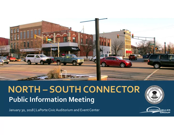
NORTH SOUTH CONNECTOR Public Information Meeting January 30, 2018 - - PowerPoint PPT Presentation
NORTH SOUTH CONNECTOR Public Information Meeting January 30, 2018 | LaPorteCivic Auditorium and Event Center Project Team Client: LaPorte County, Indiana Consultant: Lochmueller Group Richard Mrozinski Commissioner Susan Al
January 30, 2018 | LaPorteCivic Auditorium and Event Center
Client: LaPorte County, Indiana
Consultant: Lochmueller Group
Biologist
Biologist
Stakeholders
Developing a study to determine the most feasible North-South Connector route including:
Scoping
Assessment
Feasibility Study
Environmental
Environmental Policy Act Document
Preliminary Engineering
Permits / Mitigation Plans
Right-of-Way
Purchasing Upon NEPA Completion
Completion
Constructed / Monitoring Enforced
Construction
PROJECT DEVELOPMENT PROCESS
completed
Planning Commission 2040 Long- Range Plan
corridor on the east side of LaPorte to promote economic vitality & reduce congestion along US 35 & SR 39 through town
“Broad Banded” corridors
further east
multiple alternatives to be considered
B A
Four major intersections would benefit:
1 2
3 4
2035 – US 35 at SR 2
F (65.8 secs PM Peak)
Route A* Route B*
B B
B B
* - “Route A” & “Route B” is in reference to the “Broad Banded” corridors from the Feasibility Study
INTERSECTION
AVERAGE DELAY (sec/veh)
No Build Route A Route B AM PM AM PM AM PM US 35 & SR 2 11.6
65.8
8.3 19.3 12.8 21 US 35 & Boyd Blvd 6.6 8.7 9.4 8.5 8.9 8.5 US 35 & SR 39 9.3 15.7 6.5 13.6 8.5 12.7 SR 2 & SR 4 8.1 13.3 8.2 11.8 12.5 13.6 * - “Route A” & “Route B” is in reference to the “Broad Banded” corridors from the Feasibility Study * *
INTERSECTION CRASH SEVERITY Fatal Injury Property Damage Only Total SR 4 & Boyd Blvd 4 4 8 SR 2 & SR 4 1 12 13 SR 2 & Boyd Blvd 6 21 27 SR 2 & Fail Rd 7 14 21 Fail Rd & CR 200N 1 1 SR 39 & US 20 1 1 US 35 & SR 39 6 15 21 US 35 & SR 2 7 42 49 US 35 & Boyd Blvd 11 5 16 US 35 & US 6 (W) 1 15 16 US 35 & US 6 (E) 4 4
CRASH DATA (2014-2017)
Level of Service
By 2035, if nothing is done (No Build) the queueing at the intersection of SR 2 & US 35 will be as shown in red during the PM period (4pm – 6pm)
Industrial Park & Kingsbury Industrial Park
downtown
Downtown La Porte Desired Area Potential Economic Development
A DRAFT Purpose & Need Statement has been developed. Highlights Include:
central business district.
The Purpose & Need draws extensively from the current NIRPC Long Range Plan (2040 Comprehensive Regional Plan) and other planning documents.
Develop a safe, reliable, efficient, integrated and connected multi- modal transportation system that promotes access, mobility and economic development.
Norfolk Southern Railroad
A1 A2 A3 A4
C1 C2
All alternatives incorporate a railroad
interchange at SR 2. Length (Ft) Cost A-1 16,687 51.9 M A-2 18,756 56.6 M A-3 17,846 56.5 M A-4 25,057 69.5 M Bridge Area 4,224 40.4 M Sever’s Road 13,985 52.8 M C-1 15,999 36.1 M C-2 20,157 44.3 M
TYPICAL SECTION
URBAN SECTION 35 MPH Speed Limit
RURAL SECTION 55 MPH Speed Limit
Scoping
Assessment
Feasibility Study
Environmental
Environmental Policy Act Document
WE ARE HERE
Preliminary Engineering
Appropriate Permits / Mitigation Plans
Right-of-Way
Purchasing Upon NEPA Completion
Completion
Constructed / Monitoring Enforced
Construction
PROJECT DEVELOPMENT PROCESS
for the Planning Phase
Environmental Policy Act
Items assessed in the NEPA process
Lochmueller Group, Inc.
3502 WoodviewTrace, Suite 150 Indianapolis, IN 46268-3137
KLucier@lochgroup.com
ALL COMMENTS DUE BY FEBRUARY 15, 2018
Lochmueller Group, Inc.
130 South Main Street, Suite 300 South Bend, IN 46601 SFleming@lochgroup.com
meeting
developed at www.laportecounty.org
will be posted to project website