
SLIDE 1
More mobility options, more data: Transportation and privacy issues - - PowerPoint PPT Presentation
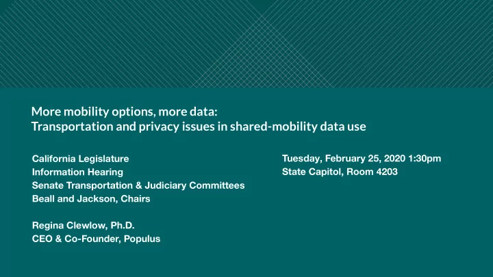
More mobility options, more data: Transportation and privacy issues in shared-mobility data use Tuesday, February 25, 2020 1:30pm California Legislature Information Hearing State Capitol, Room 4203 Senate Transportation & Judiciary