
SLIDE 1
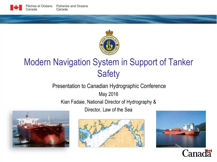
Modern Navigation System in Support of Tanker Safety
Presentation to Canadian Hydrographic Conference
May 2016 Kian Fadaie, National Director of Hydrography & Director, Law of the Sea
Modern Navigation System in Support of Tanker Safety Presentation - - PowerPoint PPT Presentation
Modern Navigation System in Support of Tanker Safety Presentation to Canadian Hydrographic Conference May 2016 Kian Fadaie, National Director of Hydrography & Director, Law of the Sea Background The Government of Canadas Economic
May 2016 Kian Fadaie, National Director of Hydrography & Director, Law of the Sea
2
3
4
5
6
7
All to modern standards
– Modern Navigation System (led by the Canadian Coast Guard with CHS and Environment Canada) ; – Ocean Networks Canada – Smart Oceans Initiative;
– Area Response Planning, starting with four local areas; – Alternative Response Measures – Operational Science for Marine Oil Spill Response; – Centre of Excellence for the Marine Transportation of Oil and LNG;
– Enhancements to the Ship-Source Oil Pollution Fund;
– Long-Term Governance and Funding of World Class Tanker Safety System.
9
10
Mariners-On-Line Strengthened Navigational Monitoring Modern, Relevant and Innovative Navigational Services
Enhanced Electronic Navigational Chart (ENC) Coverage
Up-to-date Information on Restrictions to Safe Navigation Enhanced Weather Monitoring through Deployment of Smart Environmental Buoys e-Navigation Information Hub Equipping the CCG’s Large Vessels with e-Navigation Capabilities Expanded Automatic Identification System Carriage Requirements Enhanced Traffic Planning and Analysis Northern British Columbia Radar Partnership Implement Four-Season Lighted Navigation Buoys in Select Areas and Research to Adapt the Prototype to Other Areas
Three Studies to Prepare for the Transition to Dynamic Hydrographic Products and Services
Review to Implement a Resilient Position and Timing Solution for Canada Review to Implement an Intelligent Marine Navigation Traffic System Review of Electronic Monitoring and Communications Capability Assessment of Canada’s Existing Aids to Navigation System with the View to Rationalize and Modernize the System
Initiatives Reviews/Studies
11
12
following criteria:
– High tonnage – Cargoes including Oil & Gas and Hazardous and Noxious Substances. – Quality of bathymetry (WC standard for CHS is multi-beam bathymetry to 50m depth) – Quality of ENC coverage (WC standard for CHS is ENC equal to paper chart coverage or better, considering client needs); – Risk to shipping from navigational complexity (traffic congestion, silting, etc.) – Risk of port prone to environmental conditions (tides, weather, ice, swells, etc.) – Large vessel time for surveying not required
respect to provision of ENCs under the Safety of Life at Sea Convention.
13
– Belledune, NS – Come By Chance, NL – Georgetown, PEI – Goose Bay, NL – Halifax, NS – Pictou, NS – Pugwash, NS – Sydney, NS –
– Montreal, QC – Québec, QC – Sorel-Tracy, QC – Clarkson, ON – Hamilton, ON – Nanticoke, ON – Thunder Bay, ON – Goderich, ON – Windsor, ON – Vancouver, BC – Prince Rupert, BC
refined with full regional (local area) knowledge
14
15
– Vancouver Harbour; Fraser River Port; Port of Saint John, NB; Strait of Canso
16
*Recommendation of the draft TC Expert Panel Report on Arctic
17
18
19
20