
SLIDE 1
3/12/17 1
Spatial navigation in humans
Recap: navigation strategies and spatial representations Spatial navigation with immersive virtual reality (VENLab) Do we construct a metric cognitive map? Importance of visual landmarks in navigation! Representing space with a “labeled graph”? Role of decision-making when exploring new spaces To what extent are various brain areas engaged during different types of navigation behavior?
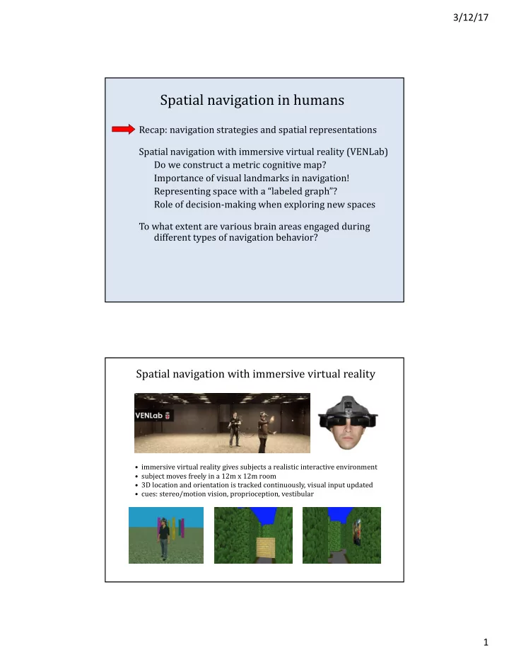
- immersive virtual reality gives subjects a realistic interactive environment
- subject moves freely in a 12m x 12m room
- 3D location and orientation is tracked continuously, visual input updated
- cues: stereo/motion vision, proprioception, vestibular